
Ask us about this product, bundles, or which equipment suits your job.
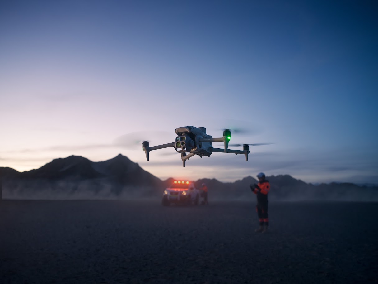
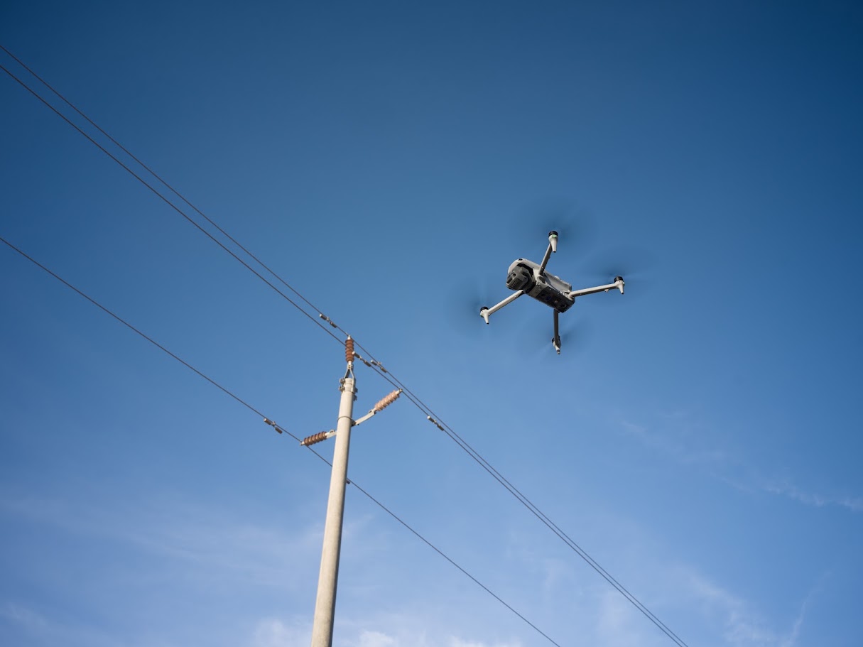
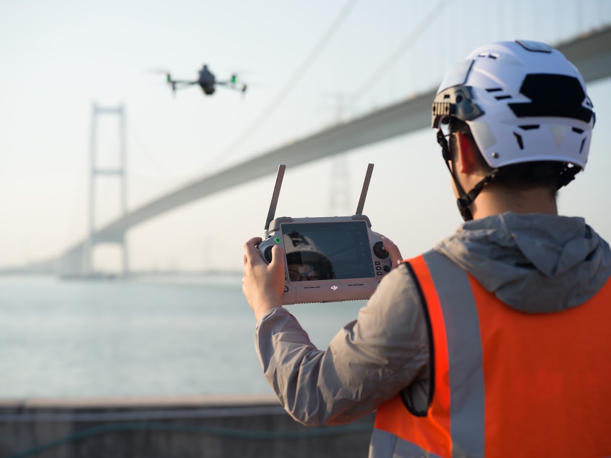
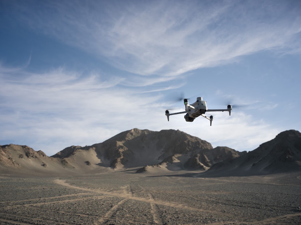
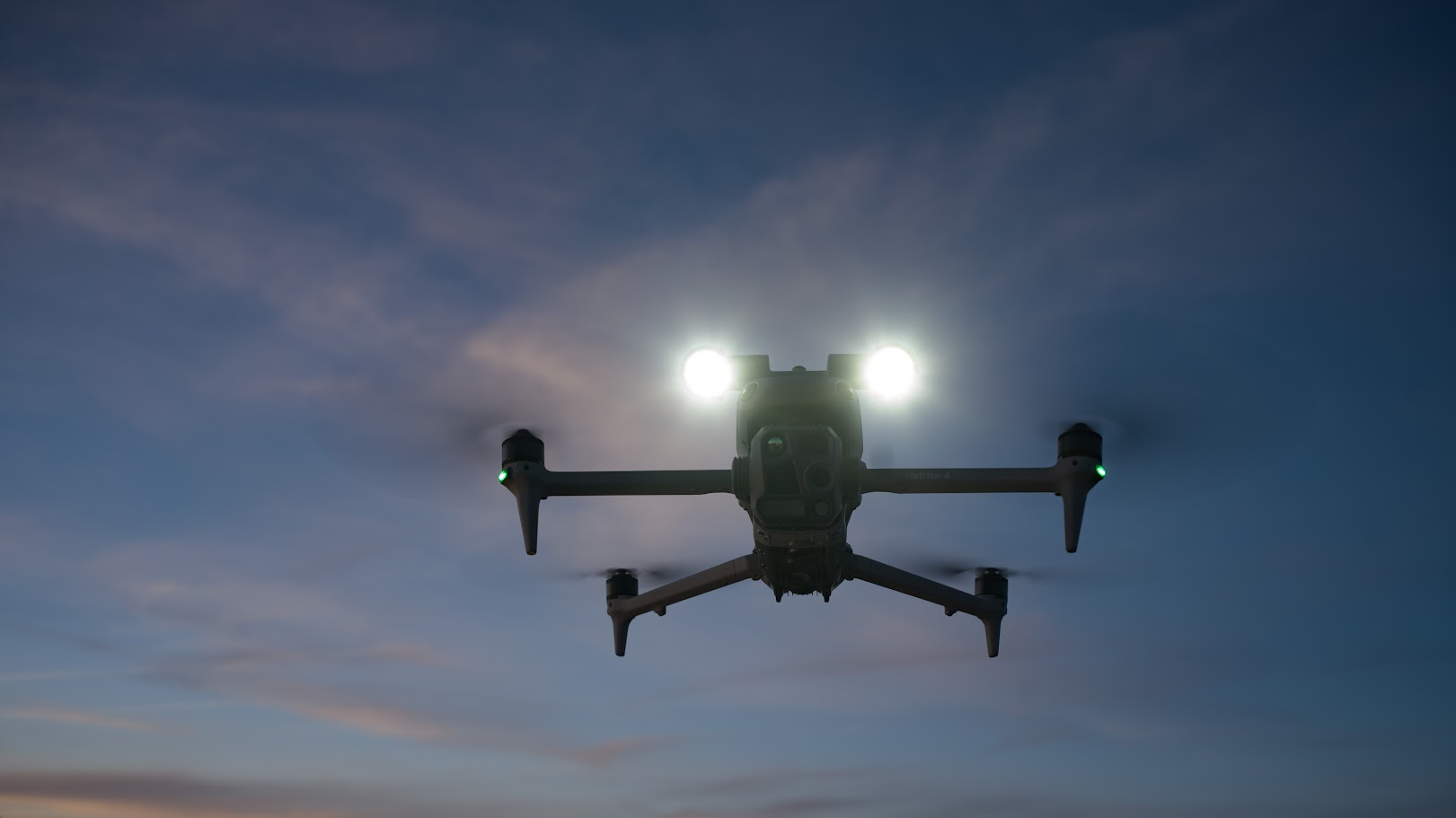
DJI Matrice 4E · Mapping and geospatial data
Measure a stockpile. Record construction progress. Build a model your project team can explore. Start with the decision you need to make, then capture the information to support it.
The DJI Matrice 4E brings a mapping-focused camera, integrated RTK positioning and additional visual cameras into one compact aircraft. For surveying, construction and land management teams, it offers a practical route from aerial photographs to useful maps, models and project records.
Built around the capture
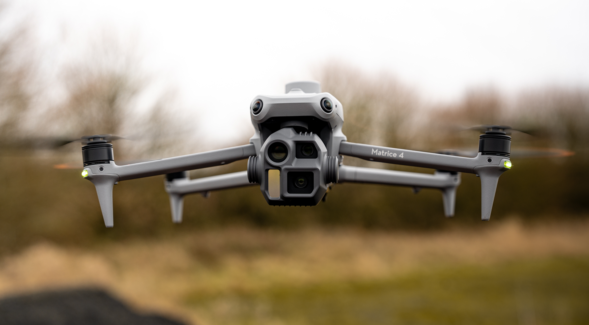
Good mapping begins before processing. Your images need detail, consistent coverage and suitable overlap. The Matrice 4E's wide camera combines a large sensor with a mechanical shutter, helping reduce the image distortion associated with rolling-shutter capture while moving.
Its adjustable aperture gives you control over exposure. Fast JPEG capture supports denser image collection along a route, while RAW recording offers flexibility when the task calls for it. The fastest JPEG interval does not apply to RAW capture.
Additional medium telephoto and telephoto cameras help you record visible asset details alongside the wider site context. Use the wide camera as the foundation of your mapping workflow.
Position the capture
A progress record becomes more useful when you can compare it with the previous visit. Plan capture routes in DJI Pilot 2 around the area, image overlap and detail your deliverable requires, then keep a record of the settings used.
Integrated RTK uses correction data to refine aircraft positioning. It can support a consistent geospatial workflow, but the final accuracy of a map or model also depends on capture quality, site control, processing and independent checks.
Network RTK needs an appropriate correction service and connectivity. A compatible base station is another option. Agree your coordinate system and accuracy requirements before the survey.
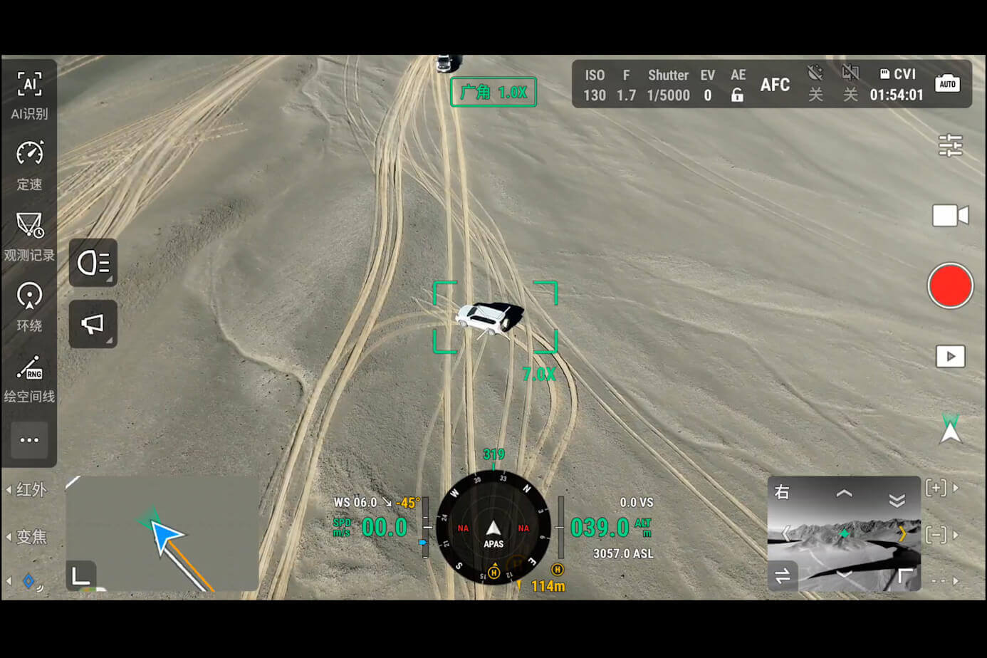
Where could it fit your work?
Collect overlapping imagery for orthomosaics and surface models. An orthomosaic brings photographs together into a map-like image for project context and, with a validated workflow, measurement.
Build a dated visual record of changing works. Share an overview with project teams and use comparable captures to support progress discussions and planning.
Capture visible surfaces for volume calculations in suitable processing software. Define the stockpile base and check the model before using measurements in commercial decisions.
Record changing ground, access routes and site features. Combine current imagery with existing project information to help teams understand what has changed.
Collect angled photographs for photogrammetric models and use visual cameras to document accessible details. Coverage, viewing angles and surface texture influence the result.
Connect a closer photograph with the surrounding site. Give a specialist useful evidence to review and help identify where further examination is needed.
Working in the field
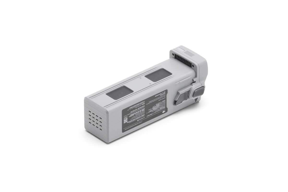
Build charging, spare batteries and return reserves into your day. The compatible charging hub charges batteries sequentially, so the number of batteries matters alongside the headline flight time.
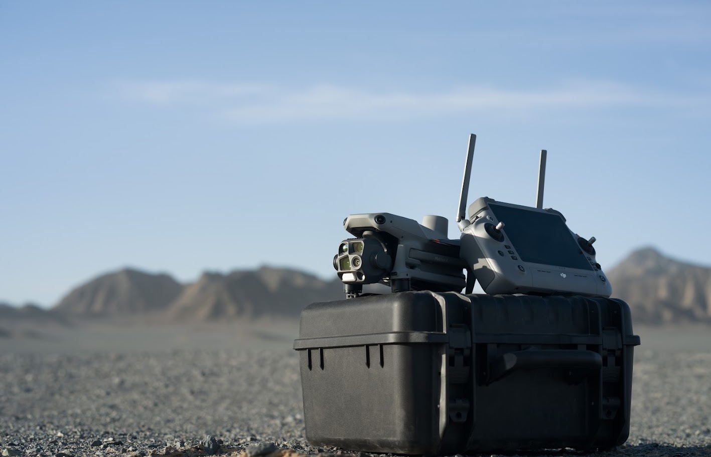
The RC Plus 2 Enterprise controller runs DJI Pilot 2 for flight and mission management. Aircraft obstacle sensing supports awareness, with performance dependent on the scene and operating conditions.
The Matrice 4E is not waterproof. Choose a suitable weather window, assess visibility and surface conditions, and allow time to inspect the equipment between tasks.
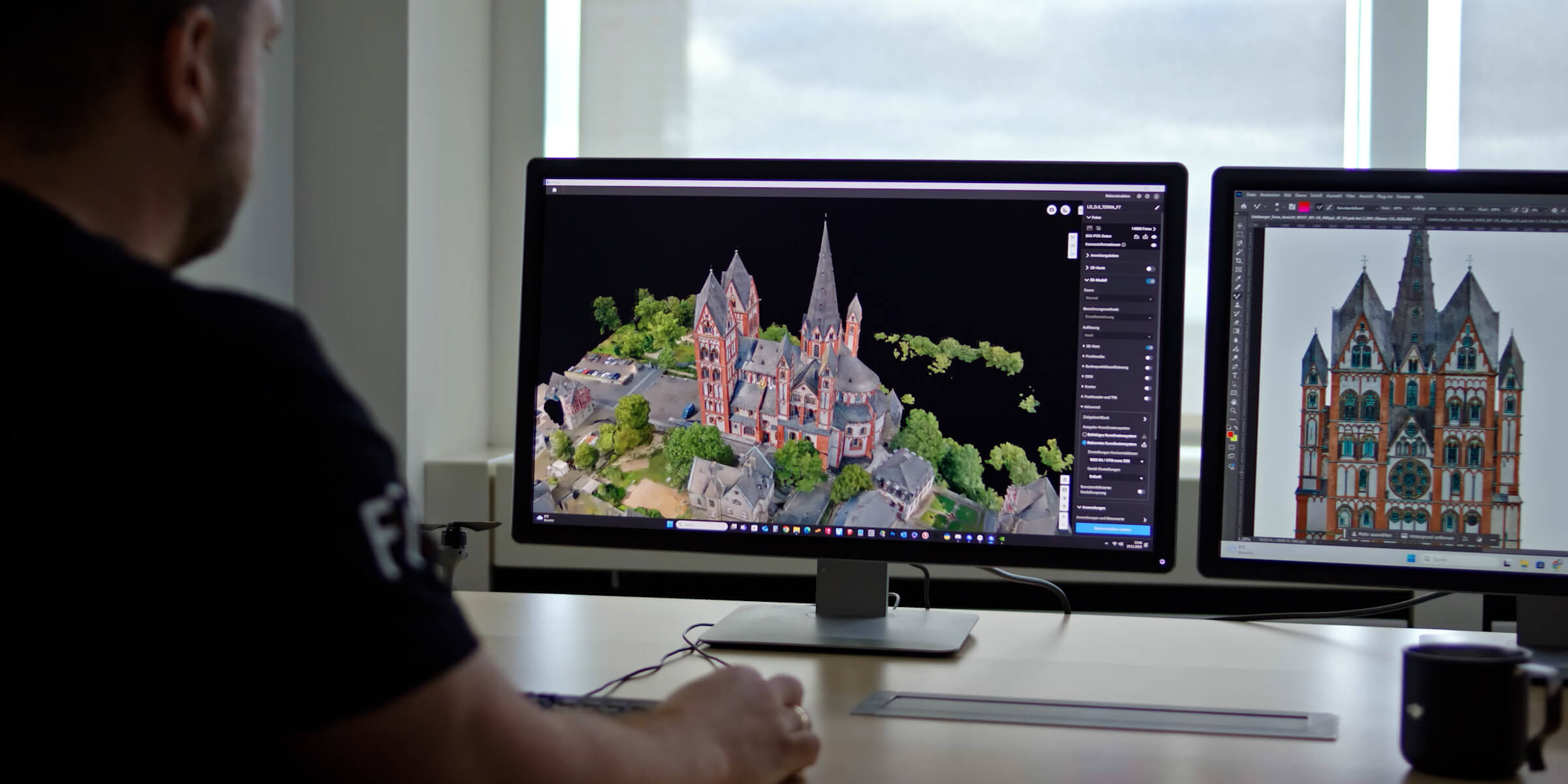
Turn photographs into information
Will your client need a site overview, a measured surface or an explorable 3D model? Each asks something different of the capture, processing and quality checks.
DJI states that a one-year DJI Terra licence is provided with a Matrice 4E purchase. Terra provides a processing route for suitable image datasets. Confirm the supplied entitlement, activation terms and computer requirements when choosing your package.
DJI FlightHub 2 supports compatible cloud workflows. Its subscriptions and service allowances are separate from the Terra entitlement. Other processing or model-editing tools should be selected around your deliverables.
From flight plan to project information
Set the area, resolution, overlap and positioning method. Capture the imagery and site control your project needs.
Use suitable software to align images and create maps, surface models or 3D reconstructions.
Inspect coverage and model quality. Assess independent checkpoints against the agreed accuracy requirements.
Provide the formats, coordinate information and quality notes your client needs to interpret the output.
Equipment, skills and practical advice
Buying a mapping drone is one decision. Building the capability to deliver useful information is the next. Based in Rotherham and working across the UK and Europe, Iprosurv brings together equipment supply, drone operations and practical training.
Talk to us about what your team already knows, the software you use and the outputs you want to produce. We can help you identify suitable equipment and training, including mapping and photogrammetry development. Our Dearne Valley College training location includes a dedicated practice area.
Training is arranged separately unless included in your agreed package.
Build your setup
Ask us to check the aircraft package, controller, battery quantity, charging equipment and carrying case against your order. We will also clarify the supplied Terra licence and any DJI Care or warranty service.
Package names and service benefits can differ by region. Your selected offer and order confirmation determine the supplied items.
The details that support your decision
*Flight-time tests: approximately 9 m/s, no accessory payload and no wind, down to 0% battery. Operational time is lower once return and landing reserves, conditions and accessories are considered. Photo intervals depend on the selected format and supported capture mode.
RTK aircraft positioning is not a guarantee of final survey accuracy. Obstacle sensing depends on the environment and does not replace active supervision.
The 4E is the mapping-focused option, with its 20 MP wide camera and mechanical shutter. The 4T adds thermal imaging for temperature-related and other specialist tasks. Tell us what you need to detect, measure or deliver so we can help you choose.
No fixed accuracy should be promised from the aircraft specification alone. Agree a project tolerance, choose suitable site control and capture methods, then assess the finished dataset using independent checkpoints.
The RTK module is integrated. To use RTK corrections, you still need an appropriate source, such as a compatible network service or base-station setup. We can discuss connectivity and correction options for your sites.
DJI advertises a one-year DJI Terra licence with Matrice 4E purchase. Confirm its activation and usage terms with your selected package. Cloud subscriptions, other software and training are separate unless expressly included.
Yes. We can discuss practical training covering mission planning, capture and processing, alongside how to review the results. Let us know your experience, software and intended deliverables so we can recommend suitable development.
Let's start with your project
Tell us about your sites, the outputs you need, your accuracy requirements and your team's experience. We will help you assess whether the Matrice 4E fits the task and discuss equipment, software and training around it.
Speak to Iprosurv about the Matrice 4ECapture detailed site information with the DJI Matrice 4E. Its 20 MP wide camera, mechanical shutter and integrated RTK support surveying, construction progress and stockpile measurement workflows in a compact, folding aircraft. Speak to Iprosurv about equipment, processing software and practical training for your team.
£3,283.33 ex VAT
Ask us about this product, bundles, or which equipment suits your job.
We can train you to use it, or carry out the work for you.