
Plan and fly
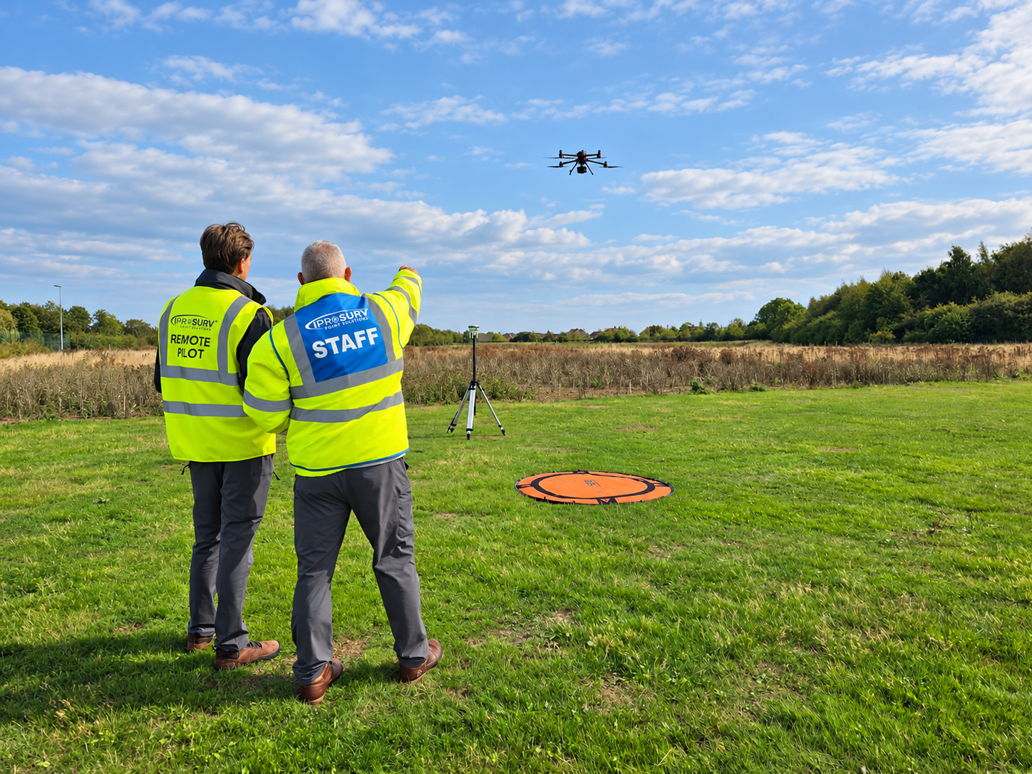
Develop a practical approach to preparing a drone operation, making decisions on site and building your flying skills.
IPROSURV | SKILLS BOOTCAMP
Develop an existing team member’s ability to plan drone flights, capture site information and turn aerial data into useful maps, models and measurements.
For construction, civil engineering, surveying and digital construction professionals who want to apply drone technology to the work they already do.
No previous drone experience required. Training aircraft provided.
Online study, instructor-led practical training, data processing and applied project activity.
Site records, progress monitoring, survey capture, stockpile measurement and earthworks workflows.
Programmes supporting eligible employers and learners through South Yorkshire and East Midlands funding.
Give your site engineers, surveyors and project teams another way to collect and use information. The Skills Bootcamp connects drone operation with the surveying and reporting tasks that construction professionals recognise.
Bring a real business question with you: how could we improve site records, measure material stockpiles or create clearer progress reports?
Use the programme to explore an approach suited to your organisation, before deciding what equipment to invest in.

WHAT IS A SKILLS BOOTCAMP?
Skills Bootcamps are short, flexible programmes for adults, typically lasting up to 16 weeks. They build skills that employers need and connect learning with work, new responsibilities or business opportunities.
At Iprosurv, that means connecting drone flying with an application: what information do you need, how will you capture it, and what will you do with the result?
WHAT WE DELIVER
Our Bootcamp helps professionals explore how drone capture can support construction, surveying and infrastructure work. Build operational knowledge alongside an understanding of the digital outputs your team could use.
Develop a practical approach to preparing a drone operation, making decisions on site and building your flying skills.
Connect image collection with the maps, models and digital information needed for a defined task.
Explore how aerial information could support progress records, material measurement and project reporting.
Training towards A2 CofC and GVC is included in the advertised programme, subject to assessment. The training team will confirm the qualification route and current syllabus before enrolment.
Construction and civil engineering businesses, surveying practices, site and asset teams, and self-employed professionals developing their services. Bring a task or challenge from your own work so the learning has a clear purpose.
No previous drone experience or aircraft ownership is required. Training aircraft are provided. The programme combines online study, instructor-supported practical activity and work with digital data; the full timetable is agreed before you join.
FIND YOUR REGIONAL ROUTE
Choose a region to explore the local offer. We check your circumstances and postcode before confirming whether that route applies.
SOUTH YORKSHIRE
Barnsley, Doncaster, Rotherham and Sheffield.
Regional funding partner:
South Yorkshire Mayoral Combined Authority (SYMCA).
EAST MIDLANDS
Explore the EMCCA route, including enquiries from North Nottinghamshire.
Regional funding partner:
East Midlands Combined County Authority (EMCCA).
Not sure which route fits? Ask us to check. Your funding region may differ from your practical training venue.
Eligible self-employed learners may receive a fully funded place. Employers putting existing staff forward contribute towards the training, with the rate depending on employer size.
Each regional page explains the contribution structure. Funding depends on eligibility, the agreed programme and available places.
Read the local funding information and decide what you want the new skills to help you achieve.
01 · CHOOSE YOUR ROUTE
Share your role, postcodes and employer or self-employment details so we can assess suitability.
02 · CHECK THE FIT
We explain the timetable, attendance, contribution and enrolment requirements before you commit.
03 · PLAN YOUR TRAINING
Iprosurv brings together drone operations, professional training and equipment advice. Our instructors help you understand the practical decisions behind a useful dataset, as well as how to fly the aircraft.
No. Programmes differ by subject, region and funding agreement. These pages describe Iprosurv’s drone surveying and digital construction offer.
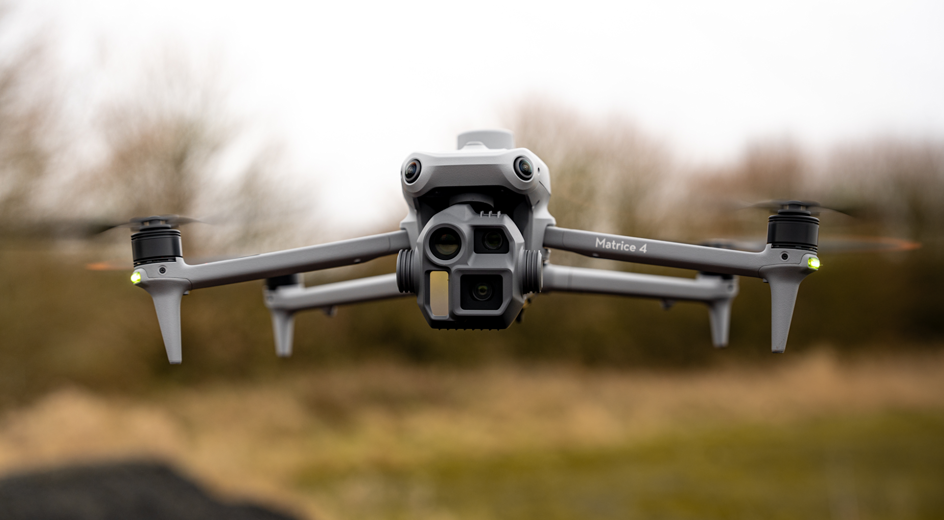
No. Use the programme to understand the equipment and software that could suit your intended work before making a buying decision.
Yes. Tell us the roles, number of learners and applications you have in mind. Suitability and funded places are checked for each learner.
Enquire with your postcodes. We can check the available routes and explain relevant commercial training options if this funded programme does not fit.
LET’S FIND YOUR NEXT STEP
Tell us about your role, organisation and the skills you want to develop. Please include your home and workplace postcodes, and which region you are enquiring about so we can check the relevant funding route.
An enquiry starts a conversation. It does not confirm funding or reserve a place.
Tell us what you are trying to achieve and we will recommend the right service, training or equipment.