
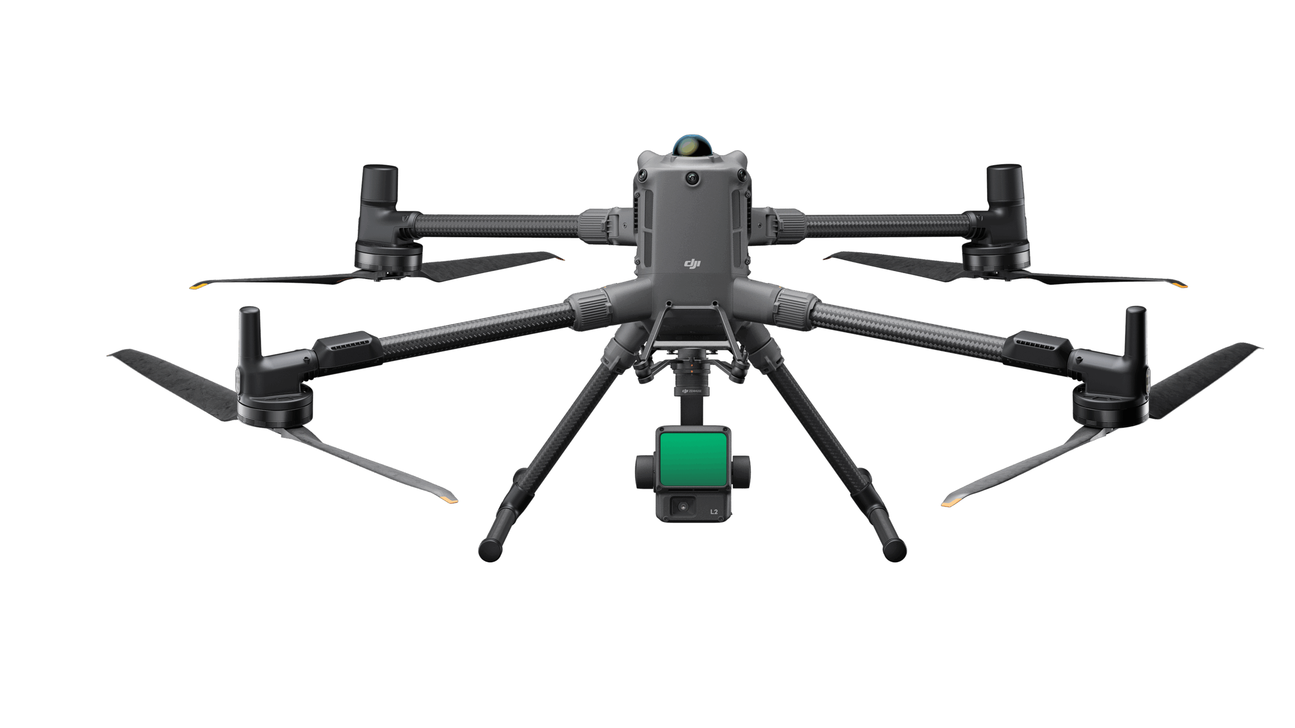
Ask us about this product, bundles, or which equipment suits your job.
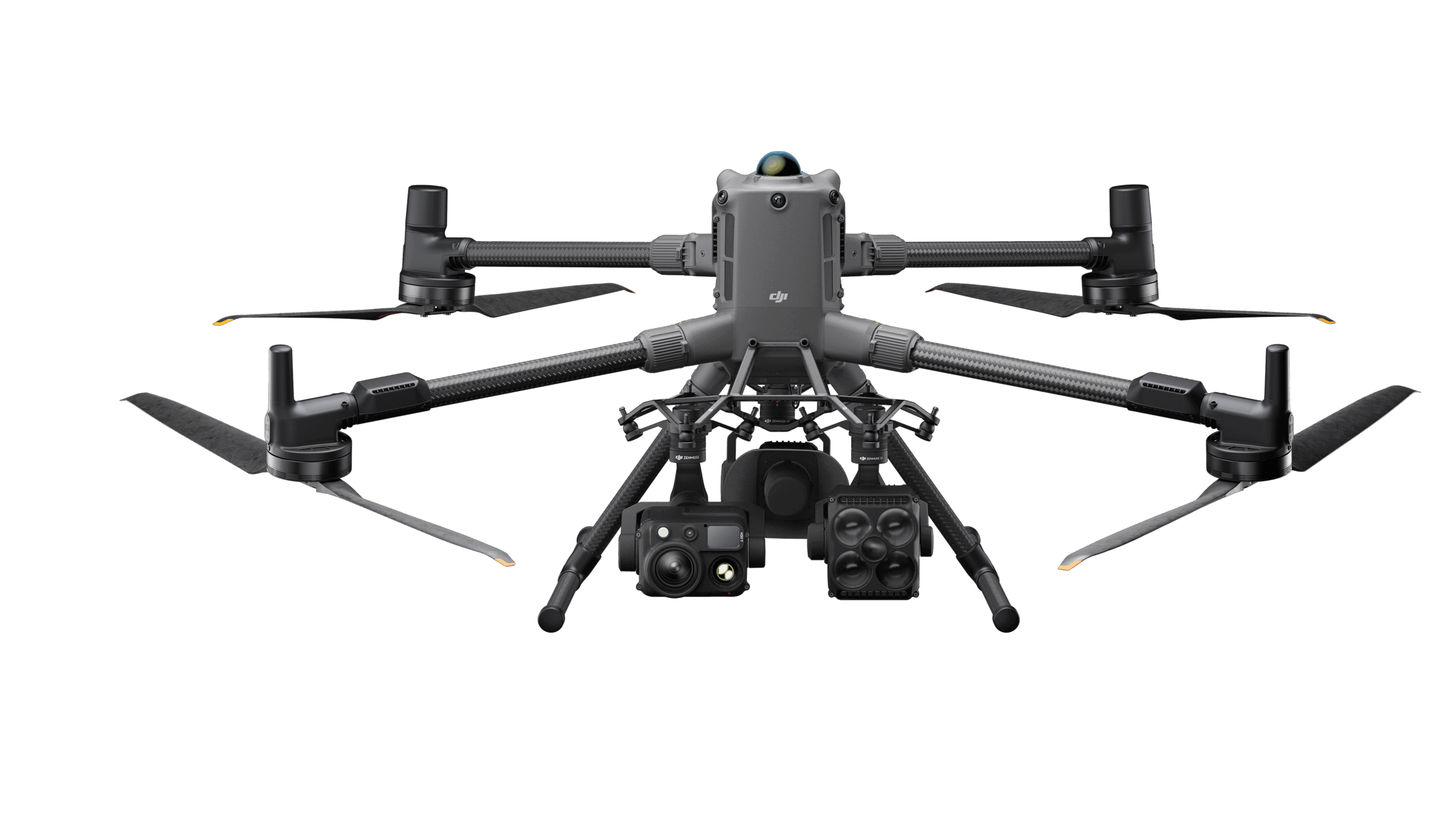
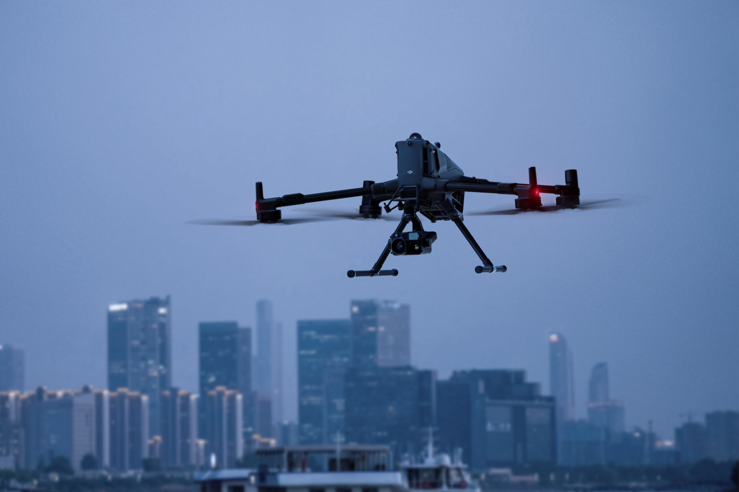
Choose the right sensor. Build the capability around it.
Develop a drone package around the information your organisation needs. The Matrice 400 is a modular enterprise platform for teams combining aircraft, specialist sensors and a defined workflow for inspection, surveying or operational support.

Start with the information your team needs, then choose the equipment and workflow around that requirement.
Select a visual or thermal payload around the asset and the question being investigated. Work through the outputs needed by the person reviewing the information.
Match the aircraft with a suitable mapping or LiDAR sensor, capture plan and processing workflow. Establish the specification and checks your project requires.
Explore combinations of sensors and compatible accessories for a defined task. Plan the package around the people who will operate it and use its outputs.
Key specifications for the DJI Matrice 400.
*59-minute test: 10 m/s forward flight, no wind, sea level, H30T fitted, until low-battery forced landing. Allow operational reserves. The 6 kg payload figure applies to the third connector at sea level; mounting and altitude limits apply. mmWave availability varies by region. The IP rating can reduce with wear.
Payload compatibility is confirmed against the selected mount, firmware and configuration. The aircraft’s obstacle-sensing LiDAR does not replace a surveying LiDAR payload. Sensors, software and services are not assumed to be included.
Tell us whether you need an aircraft package, an inspection configuration or a complete geospatial workflow. We will confirm the exact aircraft, payload, controller, battery and charging inclusions for the selected bundle.
The final quotation and order confirmation specify what is included. Images may show optional equipment. Prices, stock and purchasing options appear in the shop listing.
Discuss additional TB100 batteries, BS100 charging, compatible payloads, lighting or audio accessories, and the practical training needed by your team.
Best suited to: Asset inspection, utilities, infrastructure, surveying and specialist operations requiring a configurable payload platform.
Explore related purchases below. Accessories, alternative products and separate training options are identified in each card.
The TB100 Intelligent Flight Battery for the Matrice 400.
Explore a LiDAR payload. The dedicated L3 connector is required.
Explore a thermal and visual payload for inspection work.
Explore a full-frame photogrammetry payload.
Tell us which equipment you are considering and what you would like to achieve. We can help you explore the right package, accessories and training.
This package includes the Matrice 400, RC Plus 2, one BS100 battery station, one TB100 flight battery and one-year DJI Care Enterprise Plus, as listed in the supplied product sheet. Select a compatible payload separately to capture the data your work requires.
Request a configured quote to add a payload, extra batteries or training.
£8,875.00 ex VAT
Ask us about this product, bundles, or which equipment suits your job.
We can train you to use it, or carry out the work for you.