
Ask us about this product, bundles, or which equipment suits your job.
DJI Matrice 5T · Inspection and emergency response
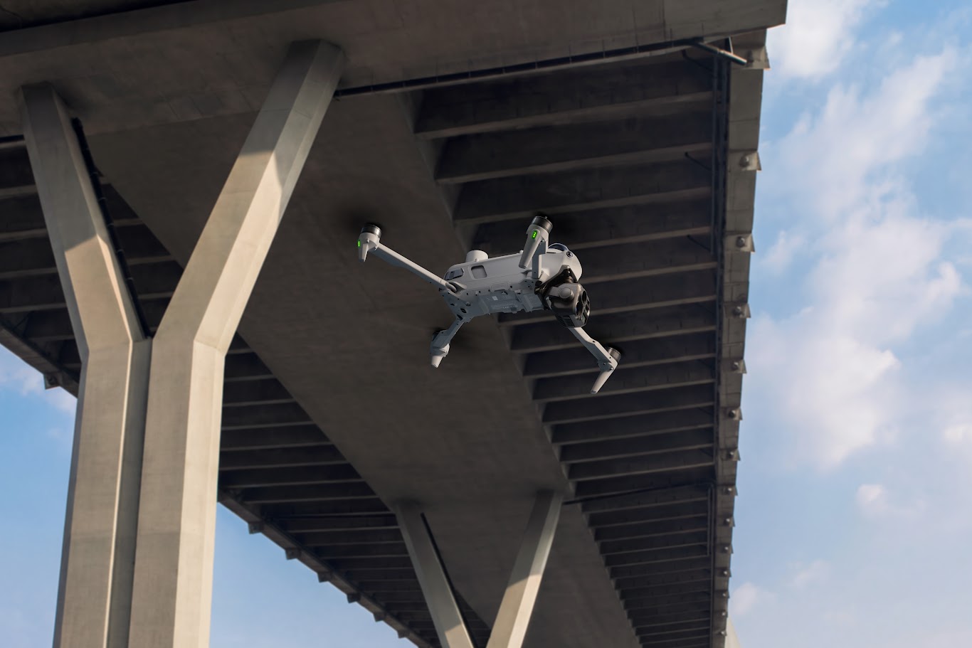
A heat anomaly on a solar array. A person at the edge of a search area. A defect high on a structure. Give your team a clearer view of the detail that needs attention.
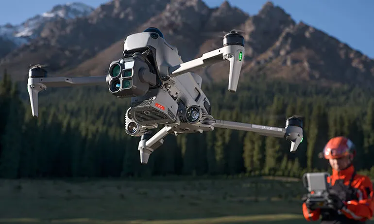
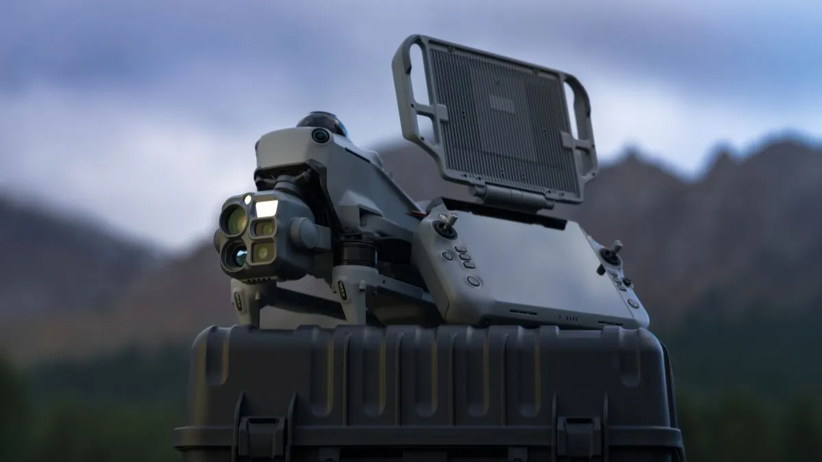
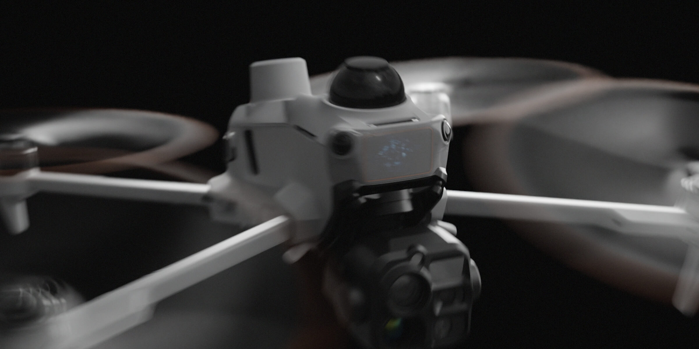
The DJI Matrice 5T combines native 1K thermal imaging with three 50 MP visual cameras, enhanced night vision and laser rangefinding. From asset inspection to incident response, it helps you move from observing a scene to deciding what happens next.
Thermal inspection
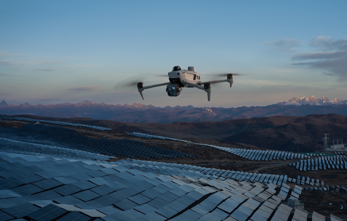
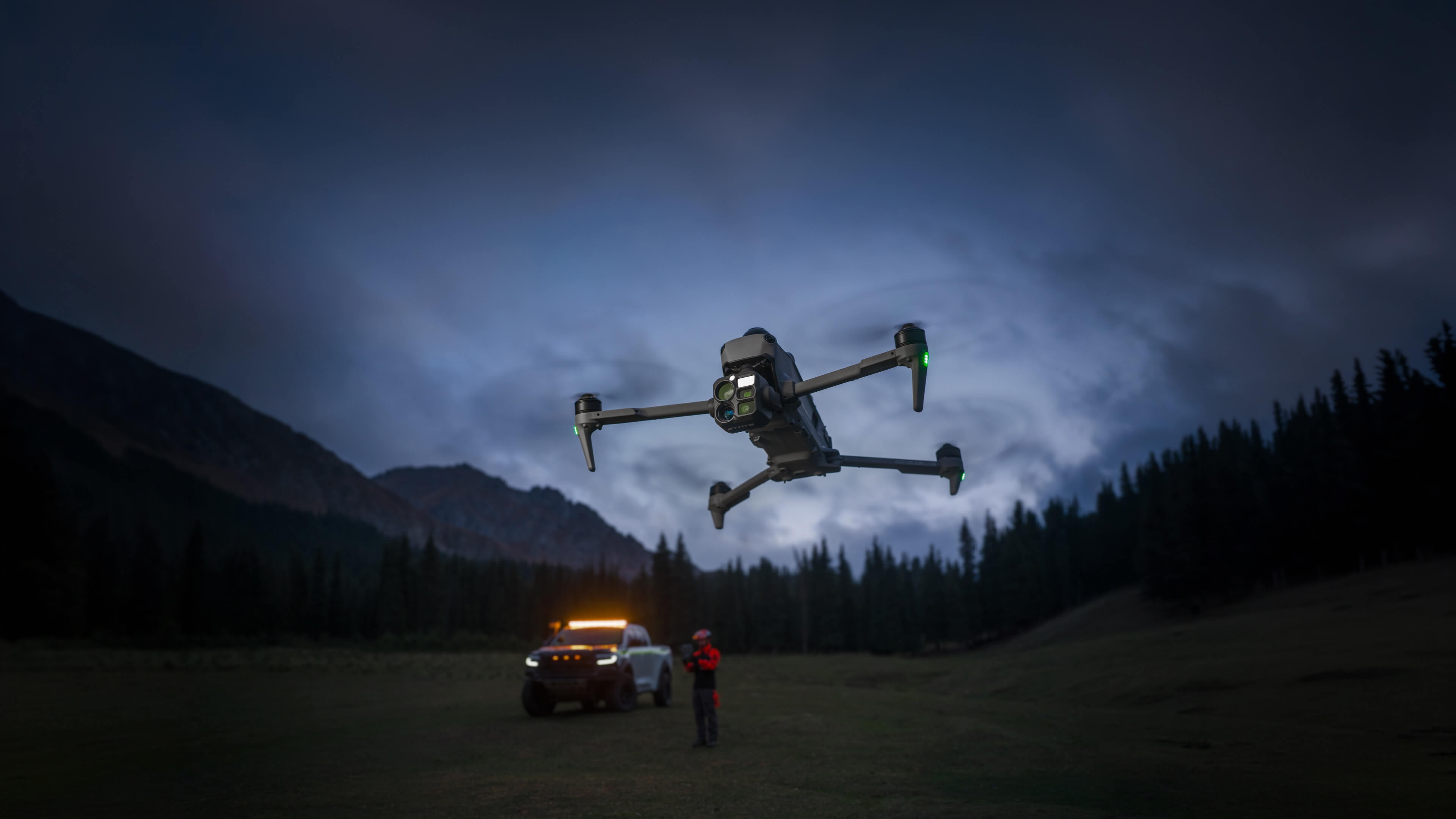
Thermal imaging can reveal temperature differences that a visual camera alone cannot show. The Matrice 5T gives you four times the native thermal pixel count of a 640 × 512 sensor, helping preserve detail when you review a complex scene.
On a solar array, that could mean identifying modules for further investigation. On an industrial asset, it could mean locating an unusual heat pattern and recording the visual context alongside it.
1280 × 1024 capture, with a 2560 × 2048 UHR mode for enhanced output.
Spot and area measurements, with fusion viewing to relate thermal findings to the visible scene.
Visual detail and low light
Use the wide camera to understand the site, then switch to the medium telephoto or telephoto camera to investigate a feature. Three camera perspectives help you build a record that shows both the finding and its location.
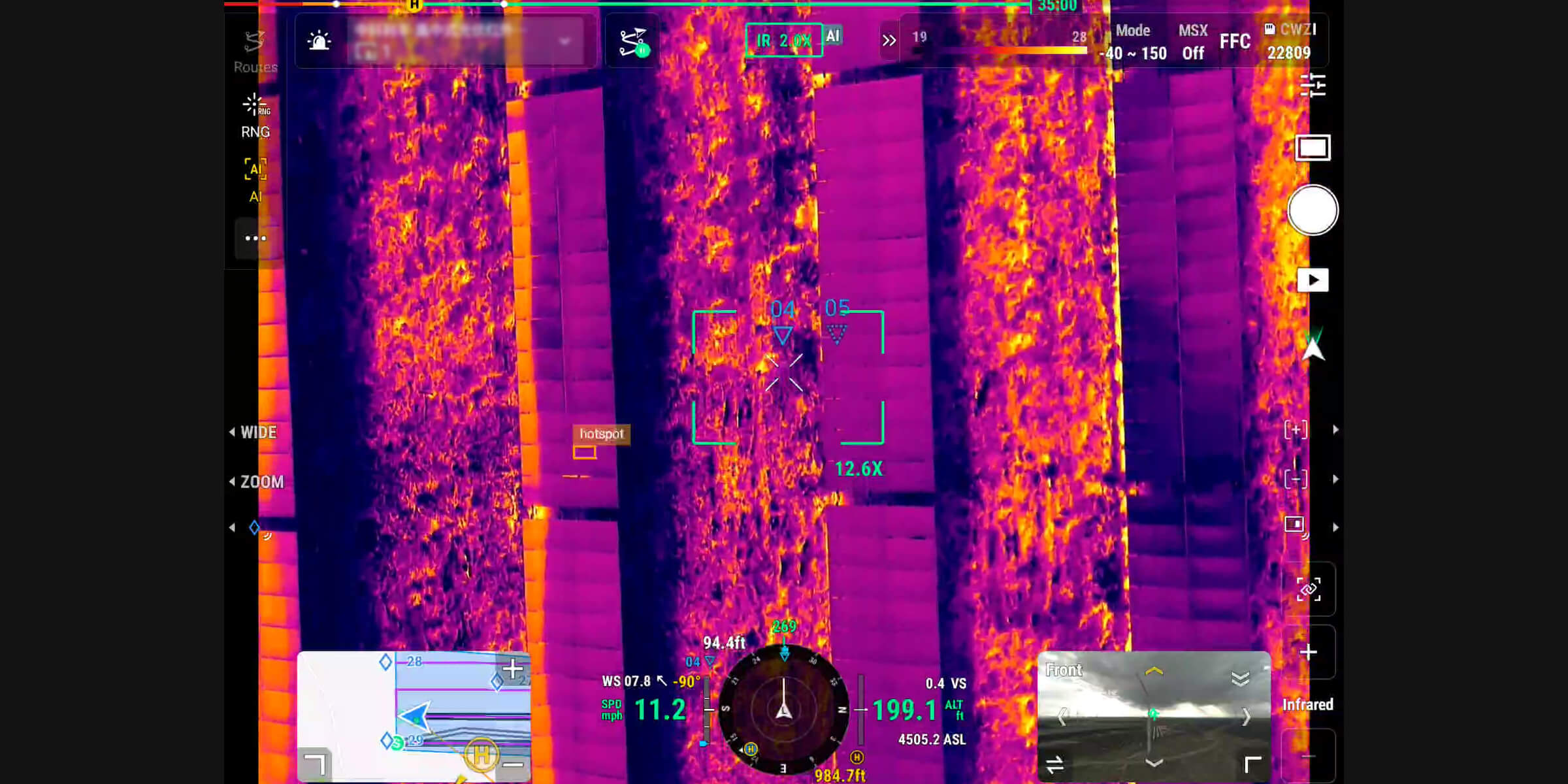
Enhanced colour night vision and near-infrared illumination extend your viewing options after dark. The telephoto camera also supports monochrome night vision from 11× zoom.
Bring distant details into view. The usable detail depends on distance, lighting and atmospheric conditions.
Measure the distance to an observation and support PinPoint workflows so the team can locate it.
Where could you put it to work?
Choose the aircraft around your application and the information you need to deliver. These are some of the ways a Matrice 5T could support your operation.
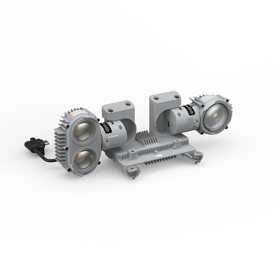
Search with complementary thermal and visible views, mark an observation and share its location with ground teams. Optional lighting and audio accessories can help teams guide a response.
Locate thermal anomalies across solar installations or electrical assets, then capture visual detail to support assessment and targeted follow-up.
Record roof condition, inspect elevated features and add thermal observations where they suit the investigation. Give the reviewer both close detail and site context.
Build an aerial view of the incident, identify heat signatures and share observations with decision-makers as the situation develops.
Support shoreline searches, port inspections and vessel-based work. Dedicated boat-launch functions offer another deployment option, subject to DJI procedures.
Use supported capture and modelling workflows to communicate the layout of a site. Match positioning, processing and accuracy checks to the intended use.
Aircraft and sensing
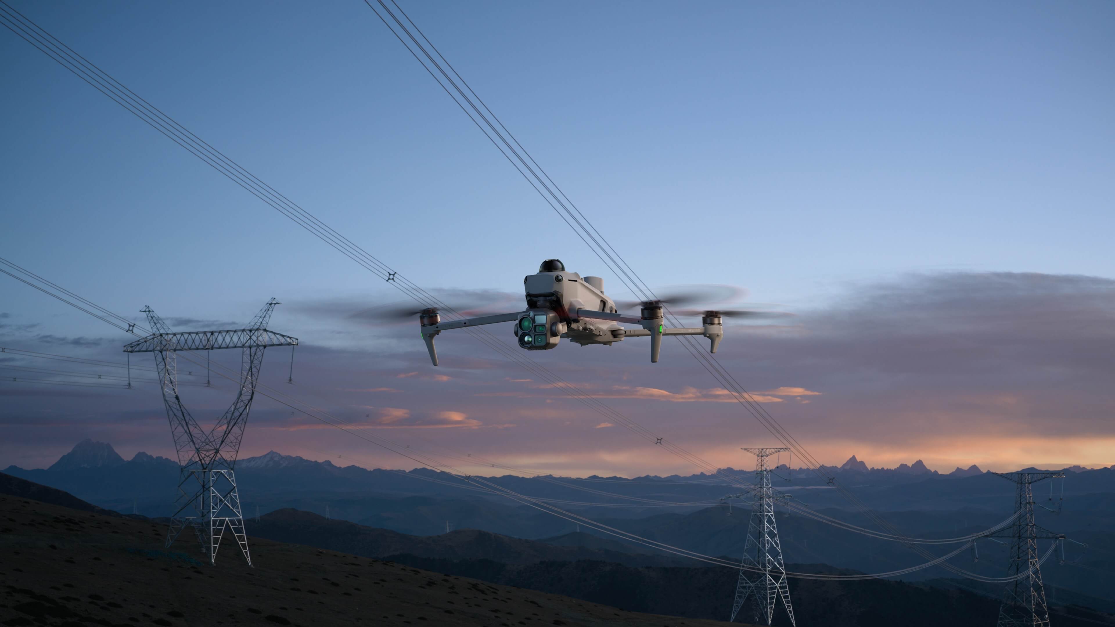
Structures, vegetation and overhead lines make field operations demanding. The Matrice 5T combines a rotating LiDAR with vision sensing, forward/upward/downward mmWave radar and a downward infrared sensor.
These complementary systems support obstacle awareness as you concentrate on the task. DJI quotes LiDAR power-line sensing at up to 32 m under specified test conditions.*
Useful resistance to dust and water, within the manufacturer's environmental limits.
Plan productive time on site around payload, conditions and return and landing reserves.
Supported relay and cellular options help you plan connectivity around terrain and the deployment.
From flight to useful information
A clear image becomes more useful when the right person can locate it, understand it and act on it. Build that process into your deployment from the start.
Use thermal and visual cameras to examine the scene.
Use supported ranging and PinPoint tools to record where it is.
Bring observations into a connected team workflow where required.
Use the evidence to guide follow-up, reporting or a response.
Software and automation
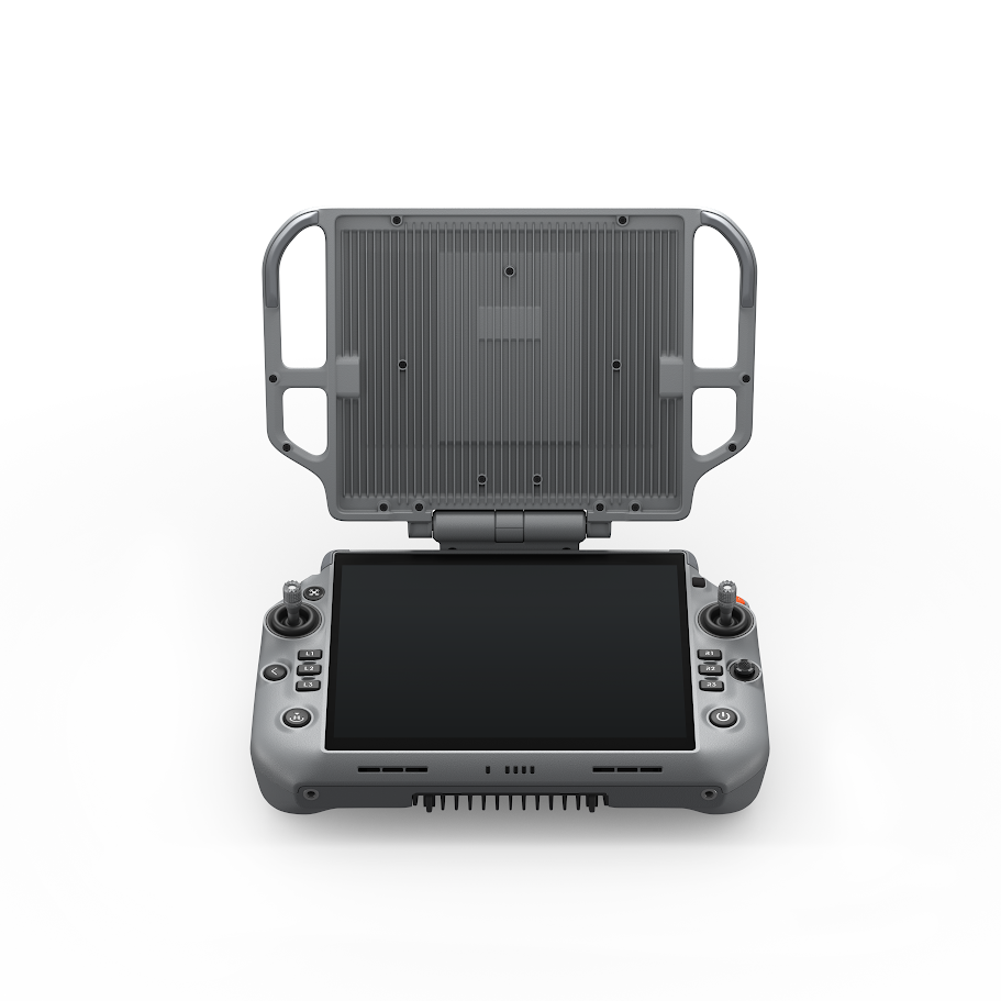
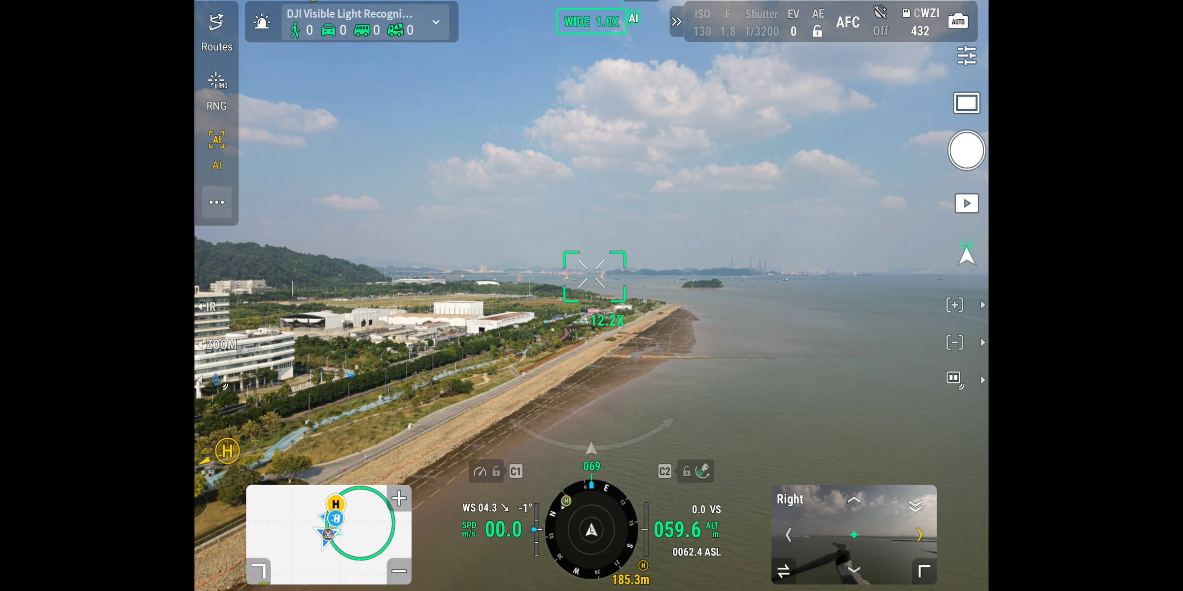
DJI Pilot 2 brings flight tools and supported mission functions onto the controller. Onboard AI assistance can help operators review supported targets, while plugin support allows specialist workflows to sit within familiar flight tools.
Explore FlightHub 2 for connected operations, or DJI Terra where its processing tools match your deliverables. The launch material also introduces controller-based modelling for a faster view of site context.
Software capabilities depend on firmware, region and configuration. Licences, subscriptions, connectivity and any custom development are separate unless your selected package includes them.
Why choose Iprosurv?
What will you inspect? Who will review the imagery? What does your team need to learn? Those questions should shape the package you buy.
Iprosurv combines drone operations with equipment advice and practical training. Based in Rotherham and working across the UK and Europe, we can help you connect the aircraft purchase with the people and processes needed to put it to work.
Talk through the assets, working environment and outputs before choosing accessories, software or an aircraft.
Ask about aircraft familiarisation and application training. Our Dearne Valley College delivery site includes a dedicated outdoor practice area.
Explore an equipment purchase, training for your team or Iprosurv carrying out the work. Start with the approach that suits your organisation.
Your equipment package
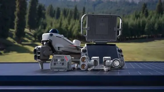
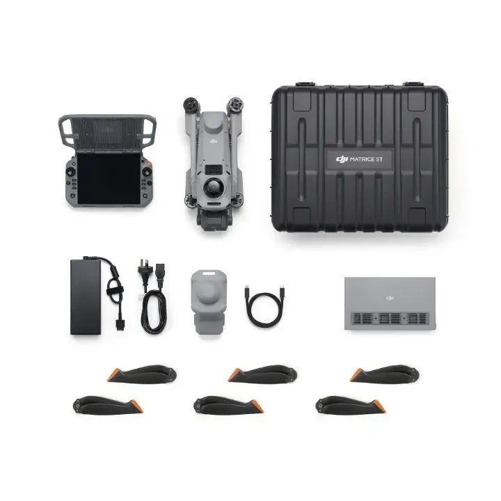
Ask us to confirm the exact UK package before ordering, including the aircraft, RC Plus 3 Enterprise controller, battery quantity, charging equipment and carrying case. DJI Care cover and any training should also appear explicitly in your offer.
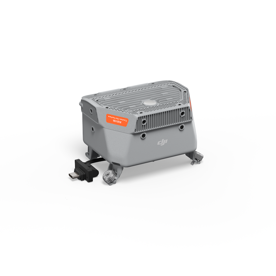
The selected product offer and order confirmation determine the supplied contents. Manufacturer imagery may show additional equipment.
The detail behind the capability
Open the sections you need. Figures below follow DJI's published specification sheet.
*Maximum flight and hover times are DJI tests without payloads, in windless-equivalent conditions at sea level, to 0% battery. The flight-time test uses approximately 9 m/s forward flight. Operational endurance is lower when reserves and real conditions are considered. IP55 does not mean waterproof. Sensing depends on target, light, weather and enabled functions. Radar and radio availability vary by region. The quoted 32 m wire figure uses a specified 21.6 mm conductor. Ranging depends on target reflectivity and visibility. Thermal performance and positioning figures are conditional and do not guarantee inspection conclusions or final survey accuracy.
Before you choose
It is worth considering when you need thermal information alongside detailed visual imagery. Tell us what you inspect, the working distances and what the client needs to receive. We can help assess the aircraft and the training or software around it.
DJI describes supported mapping and modelling workflows. Whether it suits your project depends on the capture specification and deliverable. RTK positioning accuracy alone does not establish the accuracy of a finished map. Talk to us about your required tolerances and checks.
DJI states that Matrice 5T accessories are not compatible with the Matrice 4 Series. Ask us to check your existing equipment before planning an upgrade.
Only when the selected offer explicitly includes them. We will confirm accessory quantities, licences, cover and training in your package details.
Yes. Tell us about your team and intended use. We can discuss familiarisation and application training, and confirm demonstration availability.
Talk to Iprosurv
Tell us what you need to inspect, monitor or respond to. We will help you explore the aircraft, accessories and training that fit the job, and confirm current pricing and availability.
Product information checked against DJI's specifications and FAQ, and the supplied DJI launch presentation dated 6 November 2026. Manufacturer images illustrate capabilities and may show optional accessories.
Bring greater detail to inspections and emergency response with the DJI Matrice 5T. Combining thermal imaging with wide-angle and telephoto cameras, it helps your team assess assets, locate heat signatures and examine areas that are difficult to access. Speak to Iprosurv about the right package, training and support for your operation.
£6,306.67 ex VAT
Available on back-order
Ask us about this product, bundles, or which equipment suits your job.
We can train you to use it, or carry out the work for you.