
Shop › DJI › DJI Matrice 4E
DJI · Mapping and geospatial data
DJI Matrice 4E
Turn site imagery into useful project information.
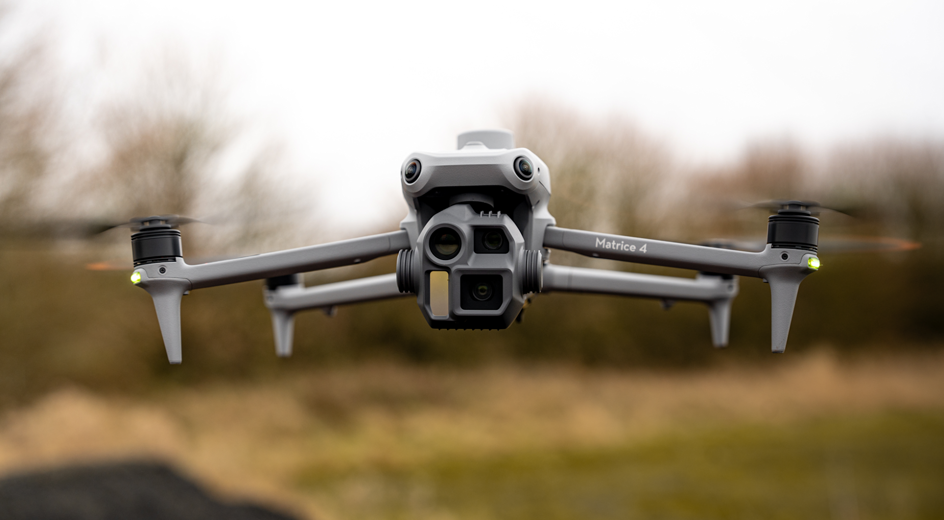
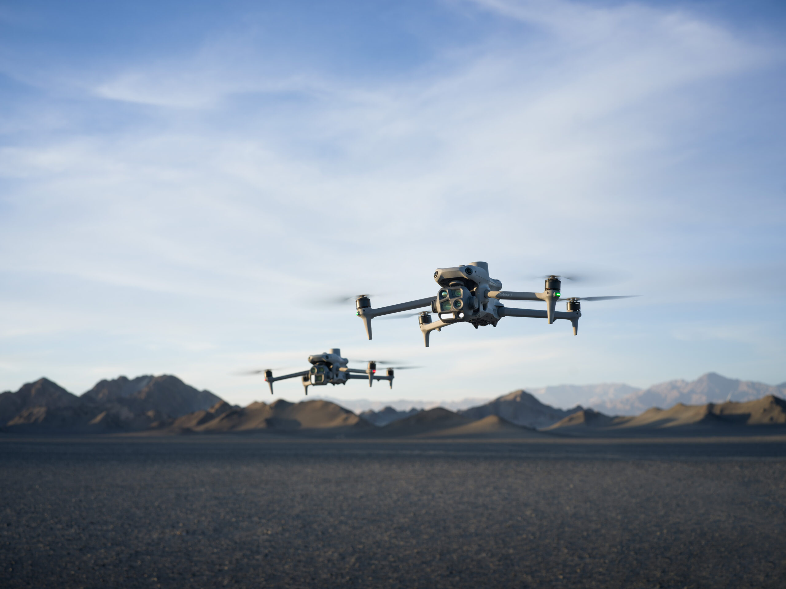
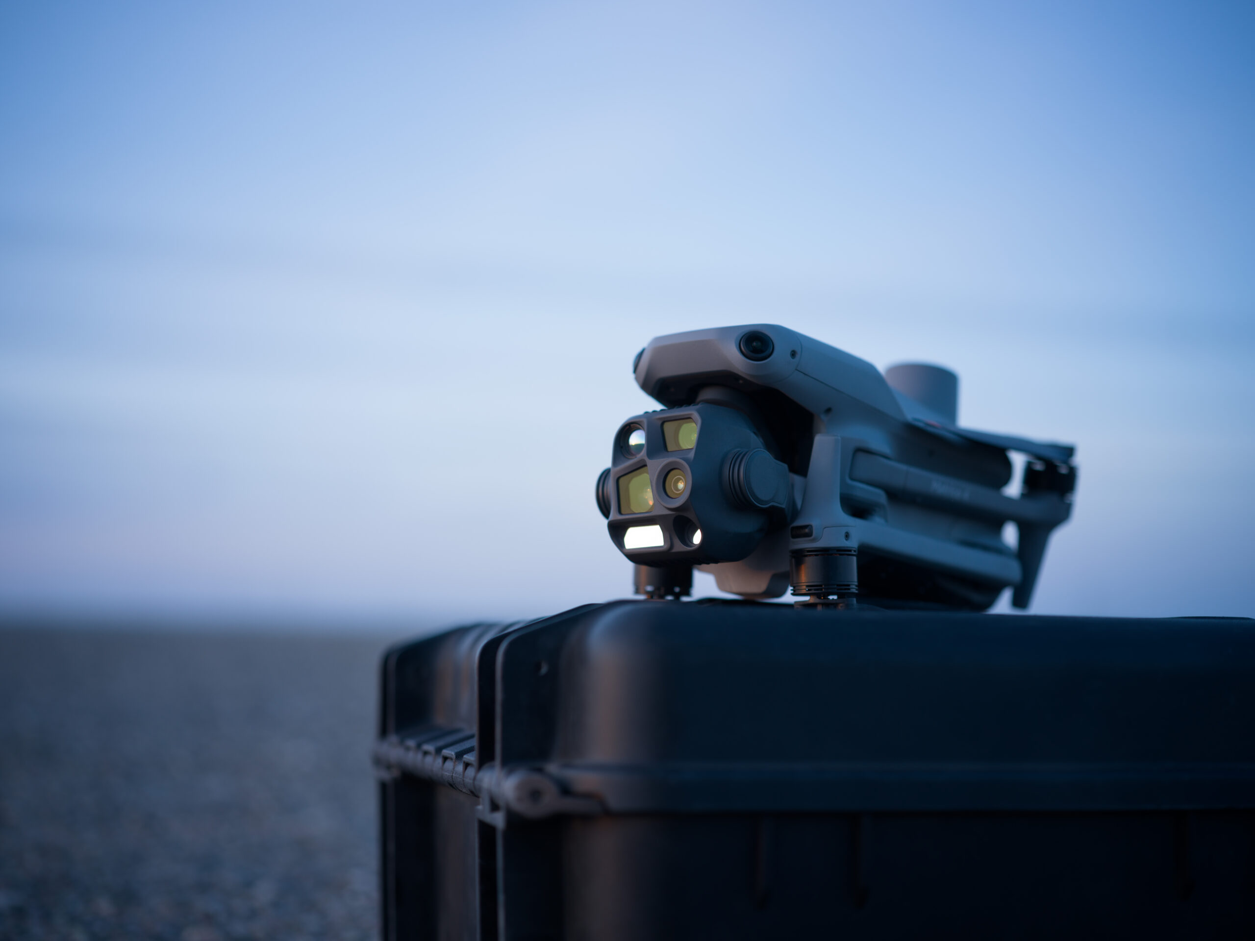
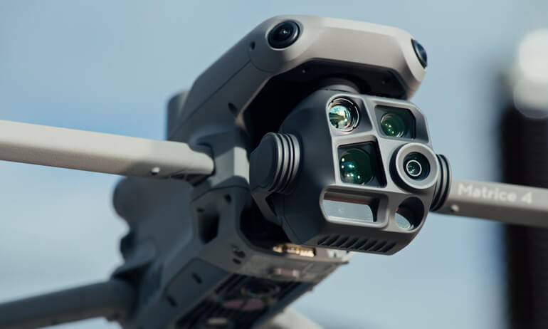
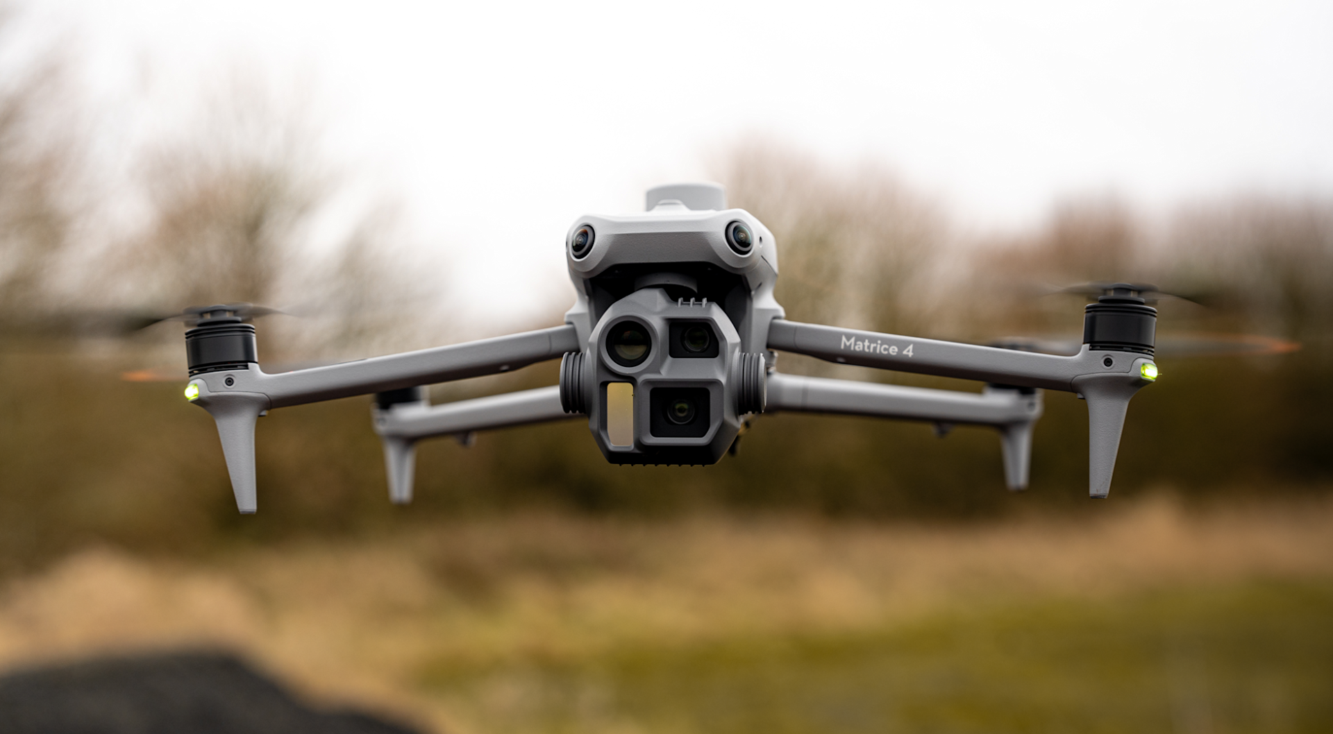
Build aerial capture into your surveying, construction and site monitoring workflow. The Matrice 4E combines a mapping-focused wide camera with additional visual cameras, helping teams gather site context and closer asset detail from one platform.
Mapping workflowsMechanical shutterEnterprise aircraft
DJI Matrice 4E | Configure your packageSpeak to the TeamAsk us about the configuration, current price and availability for your application.
20 MP4/3-inch wide camera
Up to 49 minmaximum flight time*
0.5 secminimum JPEG capture interval*
RTKintegrated positioning module
How could it support your team?
Start with the information your team needs, then choose the aircraft, package and workflow around that requirement.
Survey capture
Plan repeatable image collection around the outputs your project needs, from an overview of a site to imagery for a processing workflow.
Construction progress
Create a consistent visual record that helps project teams compare conditions and communicate progress.
Asset context
Gather a wide view and closer visual detail to help teams identify what warrants further investigation.
Technical specifications
Key specifications for the DJI Matrice 4E.
Aircraft and performance
- Flight timeUp to 49 minutes*
- Weight1,219 g with standard propellers
- ProtectionNo standard ingress protection rating
Camera and capture
- Wide camera20 MP, 4/3-inch sensor
- ShutterMechanical shutter on wide camera
- Additional cameras48 MP medium tele and tele cameras
Positioning and measurement
- PositioningIntegrated RTK
- Laser rangefinderUp to 1,800 m on a 20% reflectivity target*
- Thermal cameraNot fitted
*49-minute figure: standard propellers, approximately 9 m/s, no payload and no wind, from full battery to 0%. The 0.5-second interval applies to supported JPEG capture modes. Laser performance depends on target and conditions. Plan operational reserves; results depend on flight settings and environment.
Software and deployment
DJI Pilot 2Supported mission planning and aircraft control.
DJI TerraProcessing for suitable mapping datasets; licence requirements should be confirmed.
Licences, subscriptions and services are quoted according to the agreed configuration. Compatibility does not mean an item is included.
Your package and what is included
Tell us whether you need an aircraft package, additional batteries, correction services or a processing workflow. We will confirm the exact bundle and included items in your quotation.
- Aircraft configuration confirmed in your quote
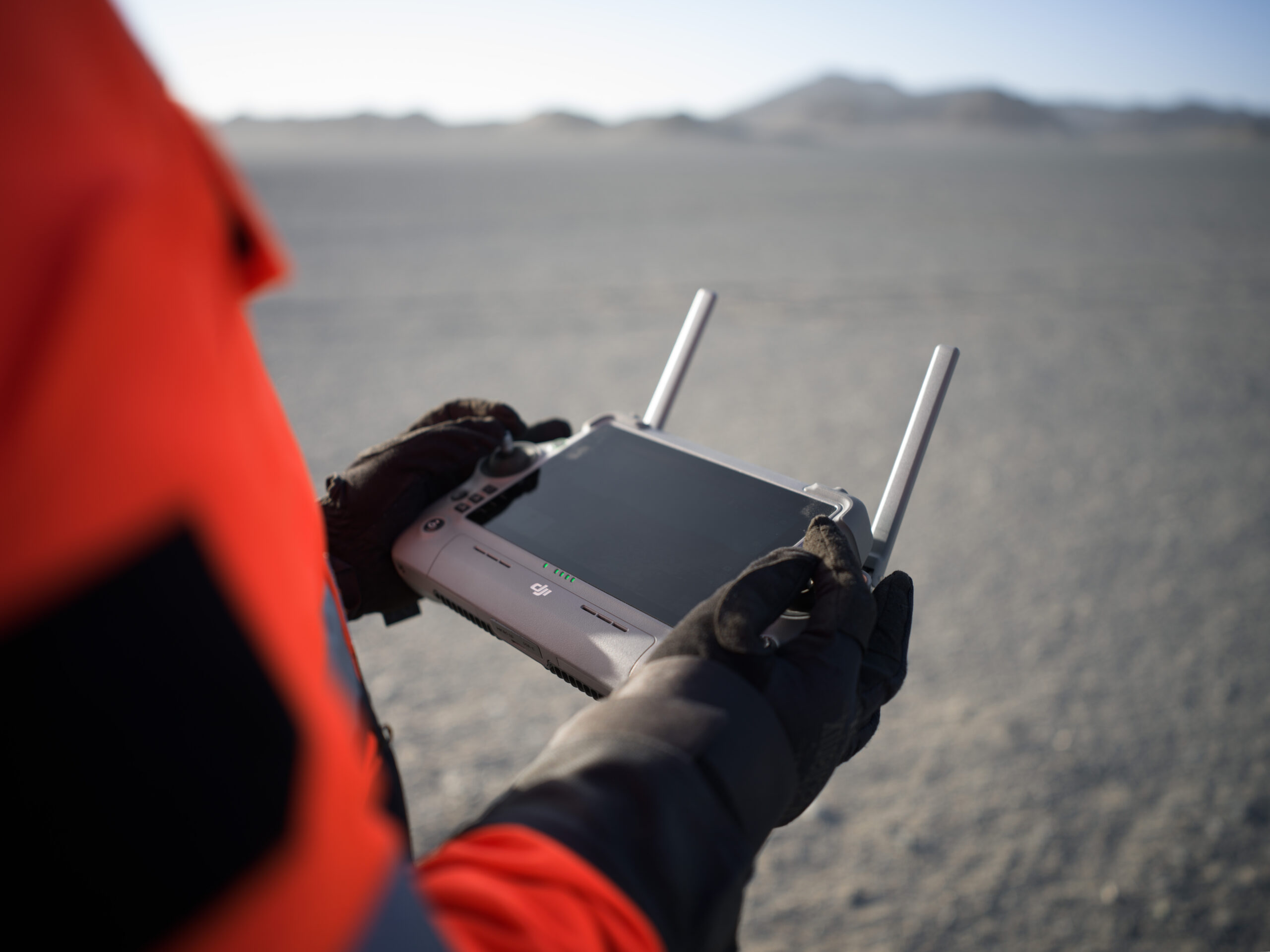
- Controller or Dock deployment confirmed in your quote
- Batteries and charging confirmed in your quote
- Software and training options confirmed in your quote
The final quotation and order confirmation specify what is included. Prices, stock and purchasing options appear in the shop listing.
Build a package around your application
Discuss spare batteries, charging, compatible accessories and training around your intended capture workflow.
Need help choosing the right package?Speak to the Team
Best suited to: Surveying, construction progress, land management and visual asset recording.
Speak to the Team
Tell us which aircraft you are considering and what you would like to achieve. We can help you explore the right package, accessories and training.