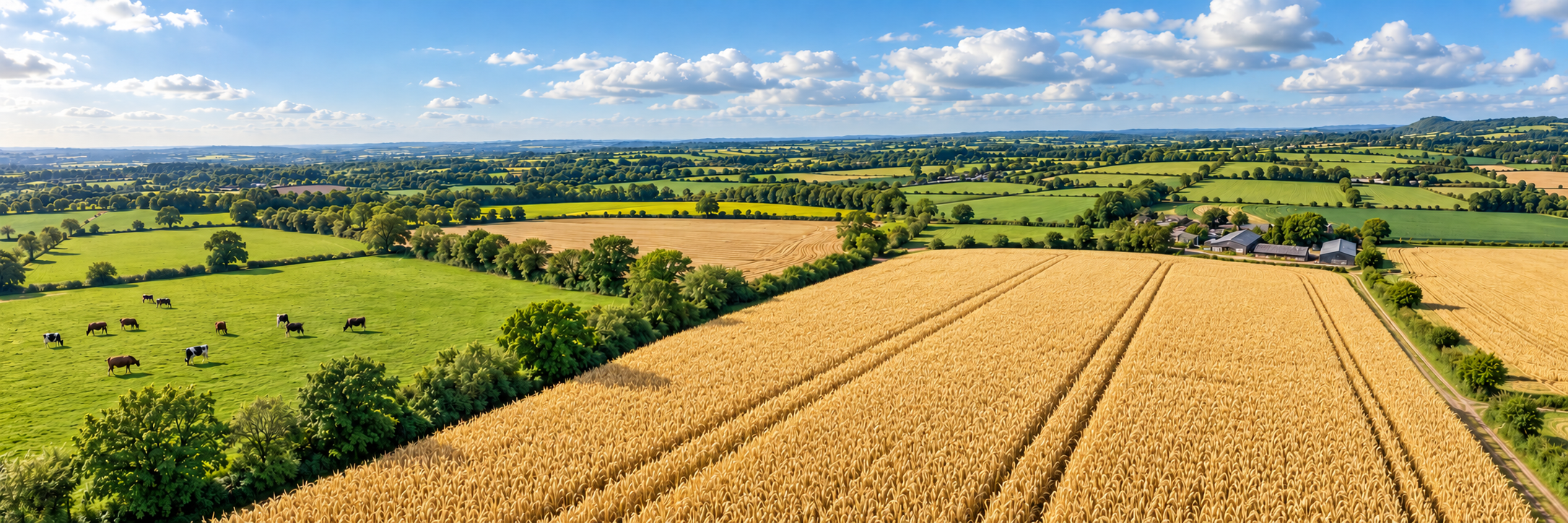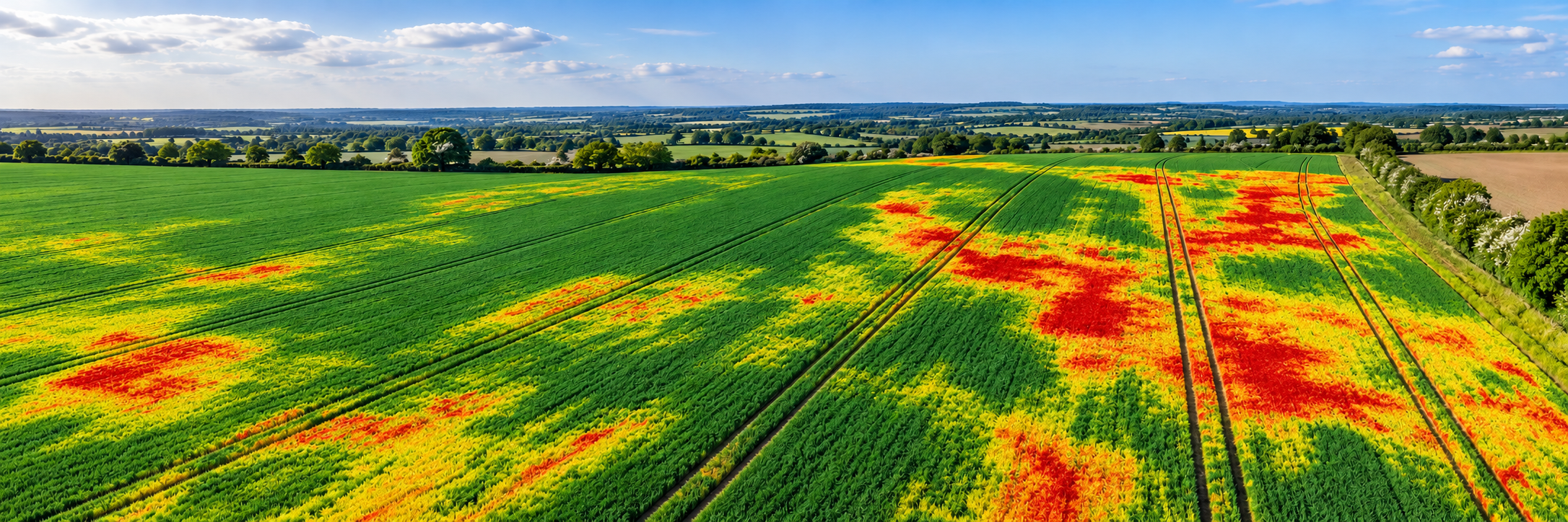
Crop Health Monitoring
Agriculture | Crop Health Monitoring See crop stress earlier. Treat the right areas. Make every…
|
Understand the field properly
|
|
A problem in the crop is not always
|
Where is water holding in the field?
Identify low spots, ponding areas, Is the field surface even and workable?
Review levels, wheelings, erosion, Do the same problems keep returning?
Compare mapped records over time to see Where should management be focused?
Use accurate mapping to support |
Drone Applications
Drone mapping can support routine land review,
targeted drainage investigations and wider
precision agriculture decision-making.
Create accurately positioned, stitched aerial
maps that show the full field in one view.
These can help reveal tramlines, surface
damage, patchy areas, access routes,
boundary condition and the overall
spatial pattern of field issues.
Highlight standing water, persistent wet ground,
potential drainage obstructions, poor runoff
and recurring saturation areas.
This can help direct ground checks and
inform practical drainage decisions.
Use photogrammetry and suitable elevation
datasets to understand slopes, low areas
and surface behaviour. These can be useful
when considering land levelling, drainage
planning or access improvements.
Maintain dated records of field condition
before and after works, during the growing
season or following heavy rainfall.
Repeat mapping creates a useful evidence
base for management, contractors
and future comparison.
From Survey to Decision
The greatest value comes from combining aerial data,
field knowledge and practical action on the ground.
Fly a planned mapping mission with suitable
overlap, positioning and image quality
to produce an aerial record of the field
and its current condition.
Convert the imagery into orthomosaics and,
where appropriate, surface or elevation
models. Review the results for wet areas,
level changes and recurring problem zones.
Use the mapped evidence to guide drainage
checks, land management planning,
contractor discussions or targeted
investigation in the field.
Technology in Action
Drone field mapping usually begins with RGB
imagery captured using a structured photogrammetry
flight. This produces a high-resolution orthomosaic
showing the field consistently from above.
Where appropriate, imagery can also be processed
into elevation outputs. Photogrammetric surface
models represent visible surfaces, including crops,
so reliable bare-earth terrain analysis may require
suitable ground measurements or additional data.
Orthomosaics:
Useful for seeing the whole field in one map,
including boundaries, access routes, wet patches,
tramlines and disturbed ground.
Terrain and elevation models:
Help visualise relative high and low areas,
changes in level and patterns that may influence
surface runoff, where the underlying data
is sufficiently accurate.
Repeat mapping:
Surveying the same area over time helps reveal
whether issues are seasonal, worsening, improving
or linked to specific weather conditions
or agricultural operations.
These outputs do not replace professional drainage
design, agronomic advice or ground investigation,
but they can provide a much clearer starting point
for practical decisions.
Why It Matters
Understanding the shape and condition of the field
can improve drainage planning, protect crop performance
and reduce wasted time or unnecessary interventions.
Poor drainage and uneven field conditions
can reduce establishment, restrict root
development and affect crop uniformity.
Clear mapping helps identify where
these issues may be influencing yield.
Better understanding of access routes,
wet areas and problem zones can help
farmers plan machinery movements,
target remedial work and reduce
avoidable delays.
Drainage improvements and land works
can be costly. Mapping provides
evidence to help prioritise where
money, time and contractor effort
may be best spent.
Introducing Drone Mapping
Field mapping and drainage assessment
can provide powerful information, but
useful decisions still depend on context,
timing and verification on the ground.
Timing:
Drainage issues can look very different
depending on rainfall, season, crop cover
and recent field activity. The best time
to survey depends on the question being asked.
Ground truthing:
Aerial patterns can suggest a drainage issue,
but field checks remain important.
Compaction, blocked drains, soil type,
cultivation history and machinery traffic
may all contribute to the result.
Accuracy:
Suitable image overlap, flight planning
and positioning methods are essential
for reliable mapping, particularly
where elevation comparisons are required.
Outputs:
Some users need only an orthomosaic,
while others require terrain modelling,
measurements or longer-term field records.
The survey should match the decision
it is intended to support.
Follow-up action:
Drone maps are most useful when they feed
into practical action, whether investigating
outfalls, speaking to a drainage contractor,
adjusting field operations or reviewing
the wider management plan.
Waterlogging, access, compaction,
poor establishment, recurring wet spots,
erosion or wider field-planning concerns?
A visual field map, an elevation model,
measurements, repeat survey records
or supporting evidence for works?
Immediately after rainfall, during
establishment, at a problem stage
in the season or before works begin?
Plan ground verification so aerial
observations can be linked to actual
field conditions and practical causes.
Ensure the outputs support a genuine
decision, whether drainage repair,
access planning, contractor briefing
or wider land management review.
|
Build a clearer understanding
|
Whether you need field mapping services, |
Whatever you need drones to do, there are three ways to work with Iprosurv.
Our pilots carry out the survey or inspection and deliver the data and reports you need.
Accredited courses that give you and your team the skills to fly safely and legally.
The drones, sensors and software to run your own operations, with expert advice.
Tell us what you are trying to achieve and we will recommend the right service, training or equipment.