Roof & Building Insurance Inspections
Insurance | Roof & Building Inspections See the damage clearly, without unnecessary access to the…
|
The Challenge
When the damage is widespread, isolated photographs cannot tell the whole story.
|
Questions That Matter
How extensive is the damage?
Understand the distribution of visible damage across the affected site.
Which properties and assets are affected?
Use mapped imagery to identify buildings, land and relevant infrastructure.
Can everyone work from the same evidence?
Provide a consistent visual reference for authorised stakeholders.
Can the scene be recorded before clearance?
Document accessible conditions before demolition and recovery works change the site. |
Catastrophe Mapping Applications
Professional aerial surveys can help document the extent of an incident and provide useful information for organisations responsible for loss assessment and recovery.
|
01 / Major Fire
Large Fire & Multi-Property DamageMap affected buildings, adjoining structures and surrounding areas once the location is safe and authorised for survey activity. |
02 / Severe Weather
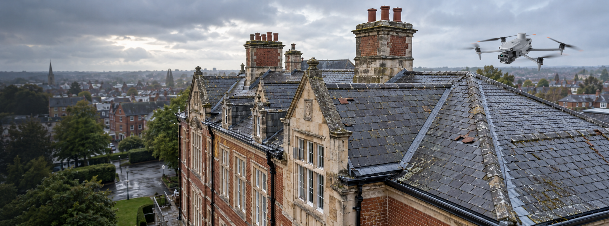
Storm & Wind Damage MappingDocument damaged roofs, buildings, fallen trees, access routes and other visible impacts over suitable areas. |
|
03 / Flood Events
Flood Extent & Property ImpactCapture visible flood boundaries, affected properties, infrastructure and surrounding terrain at the time of survey. |
04 / Commercial Loss
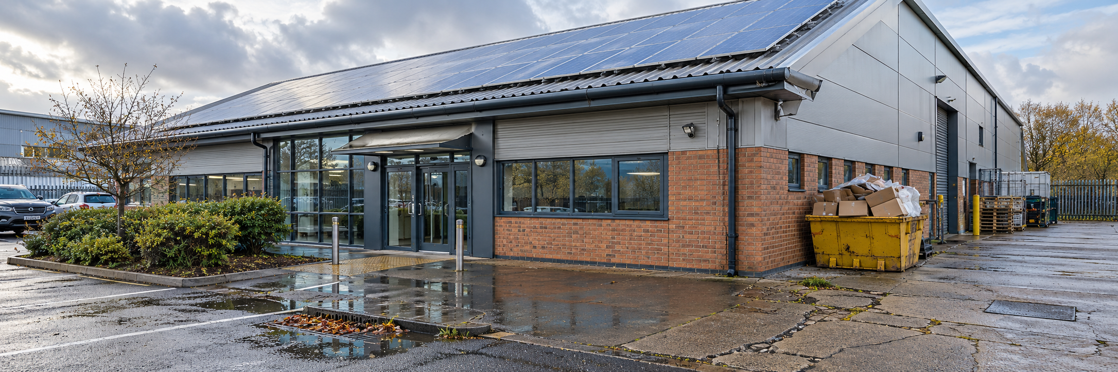
Industrial & Commercial IncidentsProduce coordinated imagery of warehouses, factories, commercial premises and surrounding operational areas. |
|
05 / 3D Evidence
Digital Reconstruction & ModellingCreate suitable orthomosaics and textured 3D models that support examination of complex sites and spatial relationships. |
06 / Infrastructure
Roads, Utilities & Surrounding AssetsDocument accessible visible damage to roads, infrastructure and nearby assets for review by responsible specialists. |
|
07 / Shared Evidence
Multi-Stakeholder InformationOrganise data so insurers, loss adjusters, engineers and authorised recovery teams can review consistent site records. |
08 / Recovery Monitoring
Clearance & Reinstatement MappingConduct planned repeat surveys to document visible changes during debris clearance, demolition and reconstruction. |
From Response to Recovery
Major-loss mapping requires careful coordination, safe operating arrangements and data that is organised around the needs of the people making decisions.
01. CoordinateEstablish site authority, survey scope, operational restrictions and the information required. |
02. CaptureCollect appropriate aerial photographs and mapping imagery for subsequent processing. |
03. DeliverProvide organised evidence and further mapping where ongoing recovery monitoring is required. |
|
Technology in Action
One incident. Multiple perspectives. A clearer digital record.
|
Digital Evidence Explained
RGB Imaging
Detailed aerial photographs for visual documentation.
Orthomosaic Mapping
A georeferenced overhead record of the surveyed area.
3D Photogrammetry
Textured models allowing users to explore the recorded scene.
LiDAR Point Clouds
Three-dimensional spatial data for suitable technical workflows.
Shared Digital Records
Structured information for controlled multi-stakeholder review. |
Understanding Catastrophe Mapping
Yes. A properly produced digital model can provide a consistent visual representation of captured areas, making complex damage easier to examine and discuss.
What the Model Can SupportReview of site layout, visible property damage, relationships between structures and changes during recovery. |
What Requires Professional AssessmentThe cause of loss, structural stability, hidden damage, liability, policy coverage and repair costs. |
Iprosurv in Action
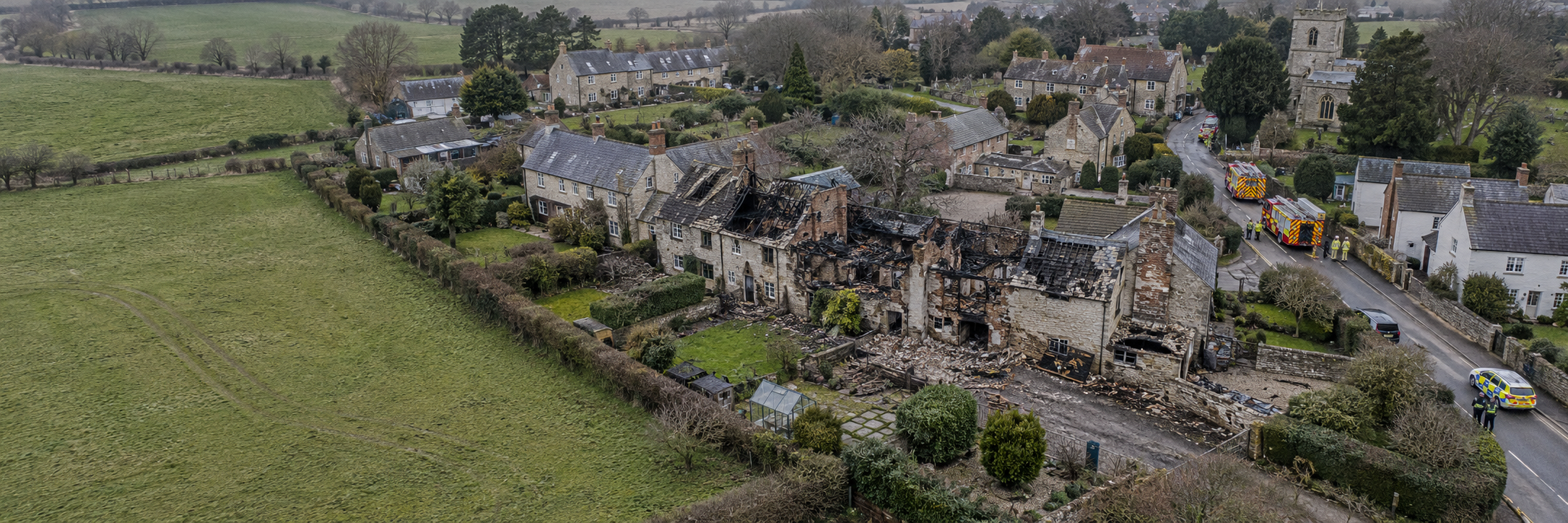
Our Wennington village-fire project shows how aerial mapping and 3D reconstruction can help numerous stakeholders understand the same major-loss site.
|
Mapping damage across multiple propertiesFollowing a devastating fire that destroyed multiple village properties, Iprosurv deployed a DJI Mavic 3E to capture the affected area. Using DJI Pilot 2, the team planned the aerial mapping mission and processed the resulting imagery into a textured 3D model using gNext Labs software. The model provided a common visual reference for more than 20 interested parties, including insurers, loss adjusters, engineers and demolition specialists. |
What the Data Supported
Rapid documentation
Recording visible site conditions while recovery decisions remained important.
Large-area coverage
Capturing the affected properties within a wider geographic context.
3D reconstruction
Creating an accessible visual representation of the damaged area.
Shared evidence
Providing one consistent reference for multiple interested parties.
Recovery coordination
Supporting discussions about loss assessment, demolition and subsequent work. |
Why It Matters
Drone mapping can complement traditional loss assessment by improving site visibility, reducing some access requirements and supporting more coordinated information sharing.
Understand the Full ExtentSite-wide imagery shows how visible damage is distributed across multiple properties and surrounding areas. |
Reduce Unnecessary ExposureRemote surveys may reduce the need for some personnel to approach damaged or difficult-to-access structures. |
Coordinate StakeholdersShared records support communication between insurers, adjusters, engineers and recovery organisations. |
|
Planning a Major-Loss Survey Safe mobilisation and a clear evidence plan come first.Catastrophe sites can be dynamic, hazardous and subject to emergency restrictions. Inspection objectives and safe operating arrangements should be confirmed before deployment.
Incident coordination:
Airspace:
Safety:
Coverage:
Accuracy:
Data security:
Recovery: |
Planning Considerations What should insurers and loss adjusters consider?
How large is the loss area?
A single commercial facility, several properties or a wider community.
Who controls access?
Establish authority from the relevant site controller.
What evidence is required?
Overview imagery, detailed inspections, mapped data or 3D models.
Who needs the results?
Identify recipients and secure methods of delivery.
When will the site change?
Consider emergency repairs, demolition and debris clearance. |
Whatever you need drones to do, there are three ways to work with Iprosurv.
Our pilots carry out the survey or inspection and deliver the data and reports you need.
Accredited courses that give you and your team the skills to fly safely and legally.
The drones, sensors and software to run your own operations, with expert advice.
Tell us what you are trying to achieve and we will recommend the right service, training or equipment.