Catastrophe Response & Large-Loss Mapping
Insurance | Catastrophe Response & Large-Loss Mapping When disaster affects an entire area, every decision…
|
The Challenge
Evidence is most valuable when it captures the condition that matters.
|
Questions That Matter
How extensive is the visible damage?
Capture aerial views of roofs, elevations, surrounding land and affected infrastructure.
Can inaccessible areas be documented?
Collect suitable imagery from controlled positions without unnecessary physical access.
Can stakeholders work from consistent evidence?
Create a shared visual and spatial record for review by relevant professionals.
Can the site condition be preserved digitally?
Record accessible features before repair, clearance or demolition changes the scene. |
Insurance Drone Applications
From individual buildings to extensive loss sites, drone data can help document visible damage and provide information for insurers, loss adjusters, engineers and restoration specialists.
|
01 / Fire Damage
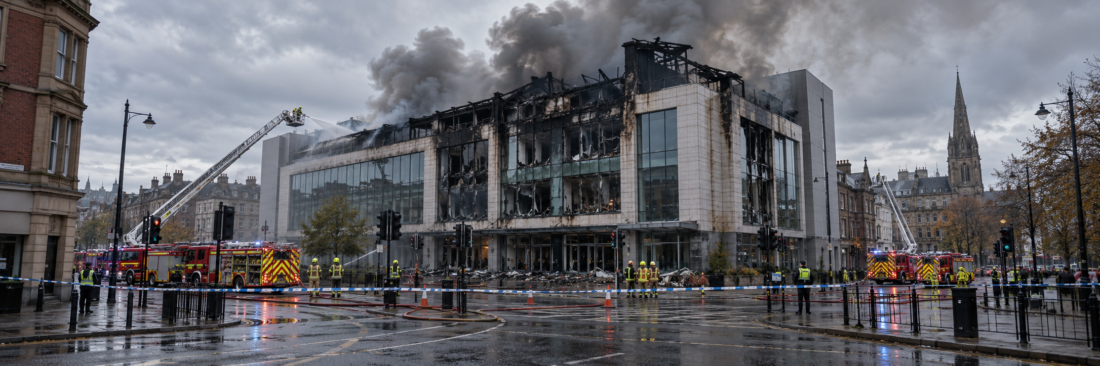
Fire-Damaged Property SurveysDocument affected roofs, elevations, adjoining structures and surrounding areas following fire, subject to site safety and emergency-service restrictions. |
02 / Storm Damage
Wind & Storm Damage InspectionsCollect imagery of accessible roof coverings, displaced materials, damaged external features and associated visible storm impacts. |
|
03 / Flood Damage
Flood & Water-Related LossesMap accessible flooded areas, surrounding terrain, affected external infrastructure and visible water impacts to support specialist review. |
04 / Building Damage
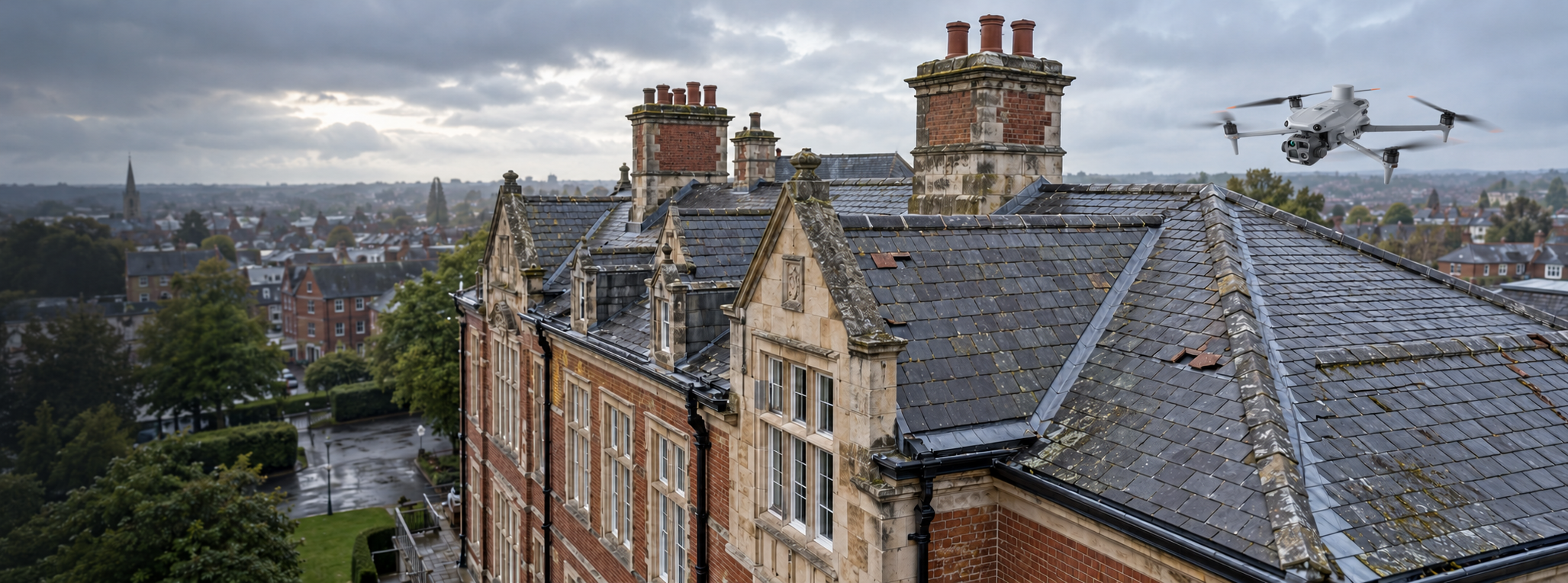
Roof, Façade & Structural DamageGather high-resolution visual information about accessible building exteriors and areas requiring closer assessment by competent specialists. |
|
05 / Major Losses
Large & Multi-Property ClaimsProduce coordinated aerial coverage of affected properties and surrounding areas, helping interested parties work from consistent site information. |
06 / Agricultural Losses
Agricultural & Land DamageUse suitable aerial mapping to document visible crop, field, drainage or land-related damage, with specialist interpretation where required. |
|
07 / Spatial Evidence
Photogrammetry & 3D Scene RecordsCreate georeferenced imagery and suitable three-dimensional models to help specialists examine site layout, damage distribution and spatial relationships. |
08 / Recovery Documentation
Repair, Clearance & Reinstatement RecordsUndertake suitably planned repeat surveys to document visible changes as clearance, remedial work and reinstatement progress. |
From Incident to Evidence
Insurance inspections should provide consistent, usable information while recognising site safety, access restrictions and the needs of the professionals reviewing the loss.
|
01. Scope & Plan
Confirm the affected site, inspection objectives, relevant permissions, safety restrictions and required evidence. |
02. Capture & Process
Collect aerial photographs, targeted inspection imagery and, where appropriate, mapping or 3D survey data. |
03. Organise & Deliver
Supply appropriately labelled visual and spatial records for review by the insurer, loss adjuster or appointed specialists. |
|
Technology in Action
More than aerial photographs: a coordinated record of the affected site.
|
Inspection Technology Explained
High-Resolution Imagery
Document accessible visible damage and relevant property features.
Remote Detail Inspection
Collect detailed imagery of difficult-to-access building features.
Photogrammetry
Create suitable mapped imagery and three-dimensional site records.
Spatial Measurement
Capture suitable point-cloud data for mapping and engineering workflows.
Evidence Organisation
Structured imagery and datasets for review by authorised stakeholders. |
Iprosurv Experience
Our experience includes mapping major property damage and agricultural losses, providing imagery and digital models that help multiple stakeholders examine the same recorded information.
|
Village Fire: A Shared 3D Record
|
Seed-Drill Fault: Mapping the Affected Area
|
Why It Matters
Professional drone data can strengthen the information available to insurance professionals and reduce some of the practical barriers to examining damaged properties.
Support Timely AssessmentCoordinated aerial inspections can help collect early visual information while the condition of the loss site remains relevant. |
Reduce Unnecessary ExposureSuitable remote inspections may reduce the need for some personnel to access damaged roofs, unstable structures and restricted areas. |
One Shared Evidence BaseOrganised imagery and spatial models can support consistent communication between insurers, loss adjusters, engineers and other authorised stakeholders. |
|
Start with the claim’s evidence requirements.
|
Planning Considerations
What should insurers and loss adjusters consider?
|
Whatever you need drones to do, there are three ways to work with Iprosurv.
Our pilots carry out the survey or inspection and deliver the data and reports you need.
Accredited courses that give you and your team the skills to fly safely and legally.
The drones, sensors and software to run your own operations, with expert advice.
Tell us what you are trying to achieve and we will recommend the right service, training or equipment.