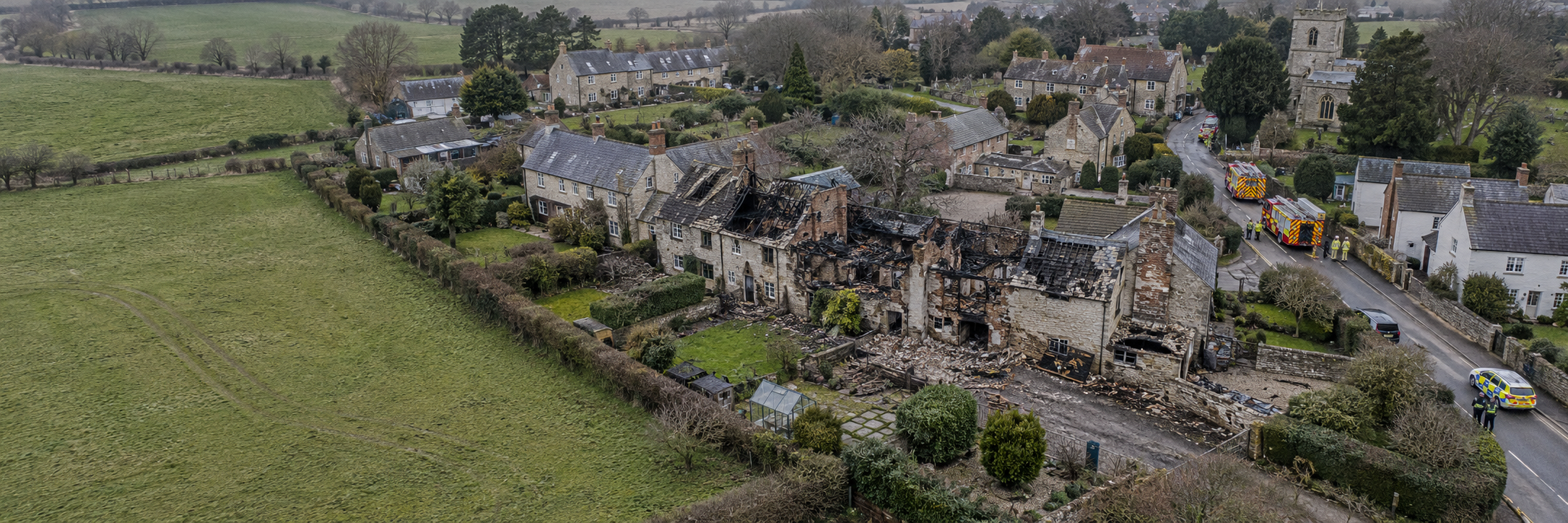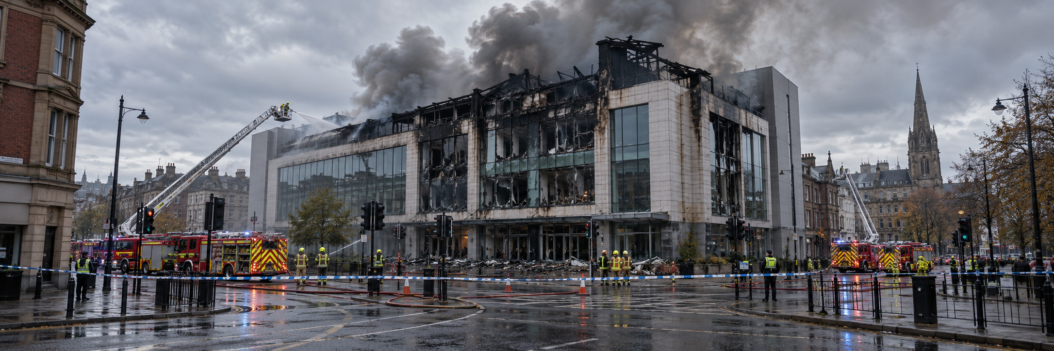
Catastrophe Response & Large-Loss Mapping
Insurance | Catastrophe Response & Large-Loss Mapping When disaster affects an entire area, every decision…
|
The Underwriting Challenge
Understanding a property means looking beyond its address and description.
|
Questions That Matter
What is the current external condition?
Document accessible roofs, elevations, structures and visible maintenance concerns.
How is the site arranged?
Understand building locations, access routes, surrounding land and nearby features.
Have exposures changed?
Compare suitable records to identify visible alterations to buildings, land use or site layout.
Where should specialists investigate further?
Use visual observations to guide more detailed risk engineering and physical inspections.
Can assessments be standardised?
Apply agreed survey methods across multiple sites to help create more consistent evidence. |
Insurance Risk Survey Applications
Drone surveys can support different stages of property risk assessment, from initial information gathering to portfolio reviews, renewal inspections and ongoing loss-prevention activity.
|
01 / Pre-Inception
Pre-Insurance Property SurveysCollect external imagery and site information before policy inception to help appointed specialists understand visible property characteristics, layout and areas requiring further assessment. |
02 / Policy Renewal
Renewal & Periodic Risk ReviewsMaintain dated records of accessible external conditions and compare suitable survey imagery to document visible changes since an earlier assessment. |
|
03 / Building Condition
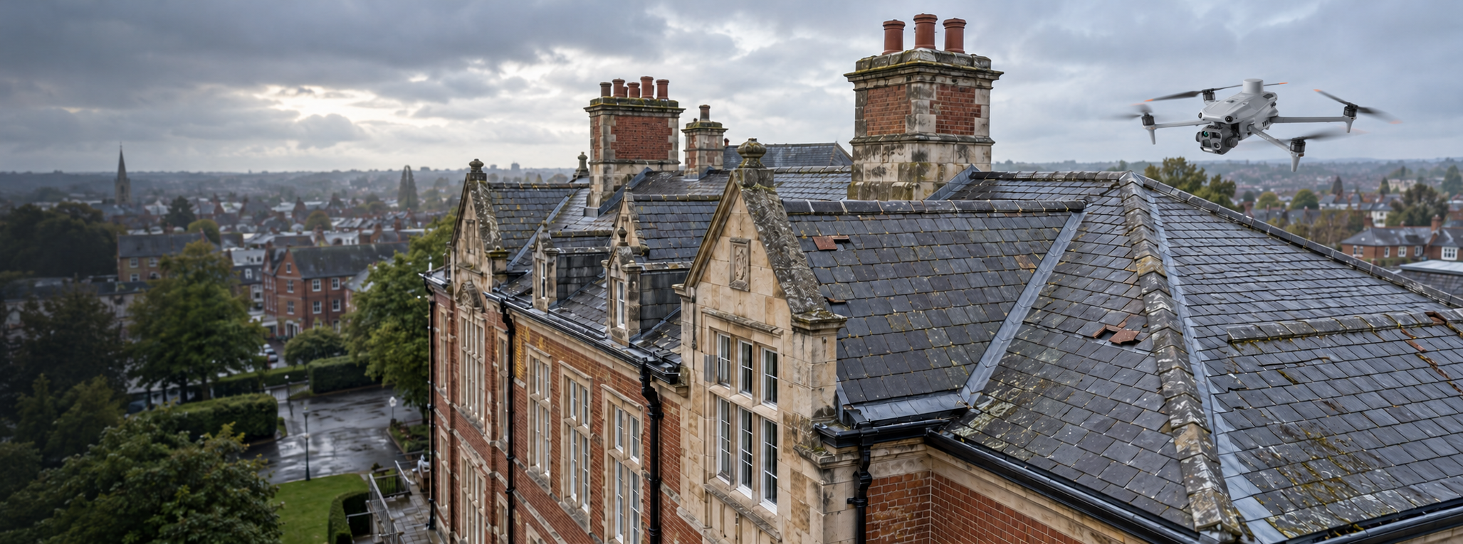
Roof & External Fabric SurveysDocument accessible roofing, façades, cladding, flashings, chimneys, rooflights and drainage features to support property-condition reviews. |
04 / Site Exposure
Industrial & Commercial Site LayoutMap buildings, storage areas, access routes and visible surrounding features to provide context for wider site risk engineering. |
|
05 / Natural Hazards
Flood, Drainage & Terrain ContextUse appropriate aerial mapping and terrain information to support specialist consideration of surface drainage, low-lying areas and surrounding topography. |
06 / Asset Condition
Thermal & Technical InspectionsWhere appropriate, collect thermal imagery of accessible external building or asset surfaces to identify temperature anomalies requiring qualified interpretation. |
|
07 / Portfolio Management
Multi-Site Insurance Risk RecordsApply agreed capture methods across multiple premises to support consistent visual records and identify sites that may warrant more detailed inspection. |
08 / Loss Prevention
Risk Improvement & Follow-Up SurveysDocument visible conditions before and after recommended remedial works, helping appointed professionals review progress against agreed improvement actions. |
From Survey Planning to Risk Evidence
A useful underwriting survey begins with an agreed scope and an understanding of how the information will be reviewed. This avoids collecting large volumes of imagery without a clear insurance purpose.
01. Define & PlanIdentify the site, building types, inspection questions, required detail, access limitations and intended outputs. |
02. Inspect & MapCollect systematic external imagery and any agreed thermal, photogrammetry or LiDAR data. |
03. Deliver & ReviewOrganise the evidence for the insurer’s risk engineer, surveyor or underwriter to interpret in context. |
|
Technology in Action
Different sensors reveal different aspects of a property’s condition and surroundings.
|
Technology Explained
High-Resolution Visual Inspection
Records observable building features, deterioration and site conditions.
Optical Zoom
Supports detailed inspection of roofs, chimneys, façade features and elevated assets.
Radiometric Thermal Imaging
Where supported by the sensor, records thermal information for controlled specialist analysis.
Orthomosaics & 3D Models
Provide mapped visual context and three-dimensional representations of suitable surfaces.
LiDAR & Terrain Information
Support appropriate surface modelling and geospatial documentation.
GIS-Compatible Deliverables
Enable spatial records to be incorporated into suitable property and risk-management workflows. |
Understanding Insurance Risk Evidence
Not by itself. A drone survey can produce important external visual and spatial information, but underwriting depends on many factors that cannot be established from aerial imagery alone.
What Drone Data Can Support
|
What Requires Specialist Judgement
|
Important distinction:
A drone image showing a visibly damaged roof may be relevant evidence, but it does not establish when the damage occurred, its underlying cause or whether the building meets an insurer’s underwriting criteria. Similarly, surface topography alone does not establish the probability or severity of flooding.
Practical Underwriting Deliverables
An effective survey should deliver information that can be understood, reviewed and, where necessary, compared with previous records.
|
01 / Visual Record
Property Condition ImageryHigh-resolution aerial photographs providing external building views, suitable detail images and evidence of visible conditions. |
02 / Spatial Context
Site Maps & 3D ModelsAgreed orthomosaics, site models and spatial datasets to support property layout and external exposure reviews. |
03 / Review Evidence
Organised Inspection RecordsClearly identified imagery, relevant survey metadata and agreed observations to help appointed specialists review the material efficiently. |
Defining the scope matters:
A visual condition record is different from a measured building survey, thermographic investigation or comprehensive insurance risk engineering report. The required evidence, interpretation and reporting responsibilities should be agreed before the survey.
Why It Matters
Up-to-date external evidence can help insurers, risk engineers and asset owners understand a property’s visible condition and determine where additional investigation is justified.
Improve Site VisibilitySee external building conditions, complex roof areas and site features that may be difficult to evaluate from ground level. |
Support Consistent ReviewsUse agreed inspection methods and records to help compare multiple properties or review visible changes over time. |
Target Specialist InspectionsInitial visual evidence can help identify areas where detailed physical access, testing or specialist engineering work may be needed. |
|
Planning an Underwriting Risk Survey
The strongest surveys begin with a clear understanding of the insurance objective.
|
Survey Planning Checklist
What should an insurer or risk engineer establish?
|
Whatever you need drones to do, there are three ways to work with Iprosurv.
Our pilots carry out the survey or inspection and deliver the data and reports you need.
Accredited courses that give you and your team the skills to fly safely and legally.
The drones, sensors and software to run your own operations, with expert advice.
Tell us what you are trying to achieve and we will recommend the right service, training or equipment.