
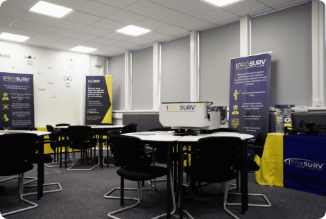
Basic Mapping and Photogrammetry Course
Our comprehensive 2-day course delves into the core principles of aerial drone imaging for mapping…
IPROSURV | SKILLS BOOTCAMP
Develop an existing team member’s ability to plan drone flights, capture site information and turn aerial data into useful maps, models and measurements.
For construction, civil engineering, surveying and digital construction professionals who want to apply drone technology to the work they already do.
No previous drone experience required. Training aircraft provided.
Online study, instructor-led practical training, data processing and applied project activity.
Site records, progress monitoring, survey capture, stockpile measurement and earthworks workflows.
Programmes supporting eligible employers and learners through South Yorkshire and East Midlands funding.
Give your site engineers, surveyors and project teams another way to collect and use information. The Skills Bootcamp connects drone operation with the surveying and reporting tasks that construction professionals recognise.
Bring a real business question with you: how could we improve site records, measure material stockpiles or create clearer progress reports?
Use the programme to explore an approach suited to your organisation, before deciding what equipment to invest in.

The programme is particularly relevant to construction contractors, civil engineering businesses, surveying practices and teams responsible for infrastructure, buildings or land.
Site engineers, site managers and project managers looking for a repeatable record of works and progress.
Surveyors, quantity surveyors and technicians exploring aerial capture and measurement alongside existing methods.
Digital construction professionals, engineers and asset managers working with mapped information and 3D datasets.
You do not need to own a drone or have flown before. Suitability and the relevant funding route are checked before enrolment.
Build an understanding of how decisions made before a flight affect the usefulness of the finished dataset. The emphasis is on collecting information for a purpose, checking it and applying it appropriately.
Assess the site, airspace, weather and operating environment. Connect the flight plan with the information your project needs.
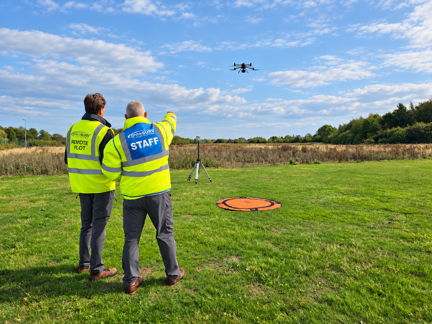
Practise aircraft handling, orientation and controlled manoeuvres with instructor support. Apply pre-flight checks and planned operational procedures.
Explore mapping missions, flight height, overlap, camera settings and positioning. Understand how capture choices affect the resulting maps and models.
Organise imagery and explore photogrammetry workflows for orthomosaics, point clouds and 3D models. Recognise errors and limitations before using an output.
Explore distance, area and stockpile measurements, together with earthworks and cut-and-fill applications. Understand the importance of control, validation and appropriate reference information.
Explore LiDAR and 3D data concepts, and how aerial outputs can contribute to digital construction, asset records and project reporting.
Fit the method to the task. Training introduces applications and workflows; the accuracy and suitability of a project output depend on its specification, capture method, control and checks. A drone dataset complements professional surveying judgement.
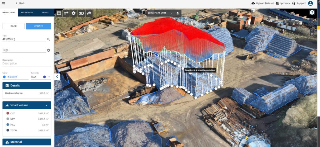
Create repeatable site views for project meetings and stakeholder updates.
Explore how mapped data supports material measurement and site comparisons.
Add aerial information to existing survey methods and asset records.
The aim is to help your organisation make informed decisions about where drone capture is useful, what checks are needed and when another method is more appropriate.
The advertised programme includes training towards the A2 Certificate of Competency (A2 CofC) and General Visual Line of Sight Certificate (GVC), subject to completing the relevant learning and assessments.
Iprosurv’s training team will confirm the qualification route, assessments and any separate operational requirements for your intended work before enrolment. Completing training does not by itself authorise every proposed flight.
Develop the knowledge needed to prepare for practical activity and understand the wider drone surveying workflow.
Apply learning through supported flying, planning and data capture exercises. Aircraft are provided for the practical elements.
Work with digital information and explore an application relevant to your role or employer.
Practical delivery: South Yorkshire. The training team will confirm the venue, cohort dates, overall timetable, attendance commitments and study requirements before you enrol.
Practical flying is subject to weather, site suitability and operational safety assessments. Do not assume that every practical exercise takes place at the classroom venue.
The published programme value is £4,100 per learner. Your contribution depends on the relevant funding agreement, employer size and eligibility.
£410
10% employer contribution against the published programme value.
£1,230
30% employer contribution against the published programme value.
A funded place may be available without a learner contribution, subject to the relevant programme criteria. Ask the team to check your circumstances.
Funding and places are subject to eligibility and availability. We will confirm the applicable contribution, VAT treatment and any other charges in writing before enrolment.
South Yorkshire or East Midlands? Tell us where you live and work so we can assess the appropriate SYMCA or EMCCA route. Selecting an area or submitting an enquiry does not confirm funding.
The programme is designed to lead to practical use of the skills. Learners and sponsoring employers should be ready to:
Iprosurv combines professional drone training with experience delivering inspection, survey and data capture work. Our instructors explain the practical decisions behind a workflow, including equipment selection, data quality and useful deliverables.
The current Bootcamp is delivered by Iprosurv in partnership with RNN Group, with regional Skills Bootcamp funding supporting eligible participation.
No. The programme supports learners who are new to drones as well as professionals adding aerial capture to an existing technical role.
No. Training aircraft are provided. Use the learning to understand the equipment and software your intended work may need.
The first step is an eligibility and suitability enquiry.
It does not take payment, confirm funding or reserve a place.
Yes, enquire on behalf of your organisation and tell us the number of employees and applications you have in mind.
Suitability and places are checked individually.
The programme explores LiDAR, point clouds and digital construction applications. Ask for the current syllabus to confirm the depth, practical equipment and software covered by your cohort.
Contact the training team for the current timetable.
Confirm all compulsory dates and study commitments before enrolment.
Tell us about your role, organisation and the site information you would like to capture. We will check the available funding route, discuss suitability and explain the next steps.
Enquiring does not commit you to a place or confirm eligibility. We will explain the offer and enrolment requirements before you decide.
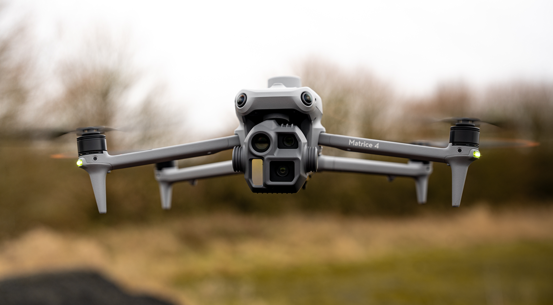
Tell us what you are trying to achieve and we will recommend the right service, training or equipment.