IPROSURV | DRONE MAPPING & PHOTOGRAMMETRY
Turn Drone Images into Valuable Survey Data
Go beyond taking photographs. Discover how aerial imagery can be transformed into 2D maps, 3D models and practical digital survey outputs.
FLIGHT PLANNING | DATA CAPTURE | PROCESSING | DELIVERABLES
From First Flight Plan to Finished Model
Flying a drone is only the beginning. Understanding how to collect, process and interpret aerial data is where drone technology begins to deliver measurable value.
Our Mapping and Photogrammetry Course introduces the complete drone mapping workflow, combining essential theoretical knowledge with hands-on learning.
Whether you are an existing operator looking to expand your services or someone exploring aerial surveying, this course provides a practical foundation for developing your mapping capabilities.
What Will You Learn?
Discover the essential skills behind professional drone mapping.
01
Mission Planning & Capture
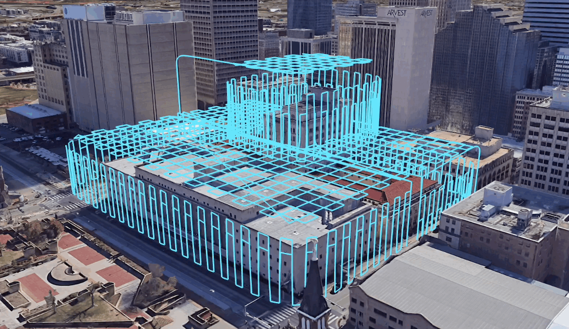
Understand flight altitude, image overlap, camera settings, ground sampling distance and environmental factors influencing data quality.
02
2D Orthomosaic Mapping
Learn how overlapping photographs are transformed into georeferenced orthomosaics that support inspection, measurement and spatial analysis.
03
3D Photogrammetric Modelling
Explore point clouds, textured 3D models and digital representations of buildings, sites and landscapes.
04
Processing & Quality Control
Understand processing workflows, coordinate systems, model quality, common errors and suitable digital deliverables.
05
Professional Applications
Discover how drone mapping supports construction, surveying, forestry, agriculture, insurance and infrastructure projects.
You Don’t Need the Most Expensive Drone to Get Started
Professional drone mapping is not simply about owning the latest aircraft. It is about understanding data capture, processing methods and the limitations of your equipment.
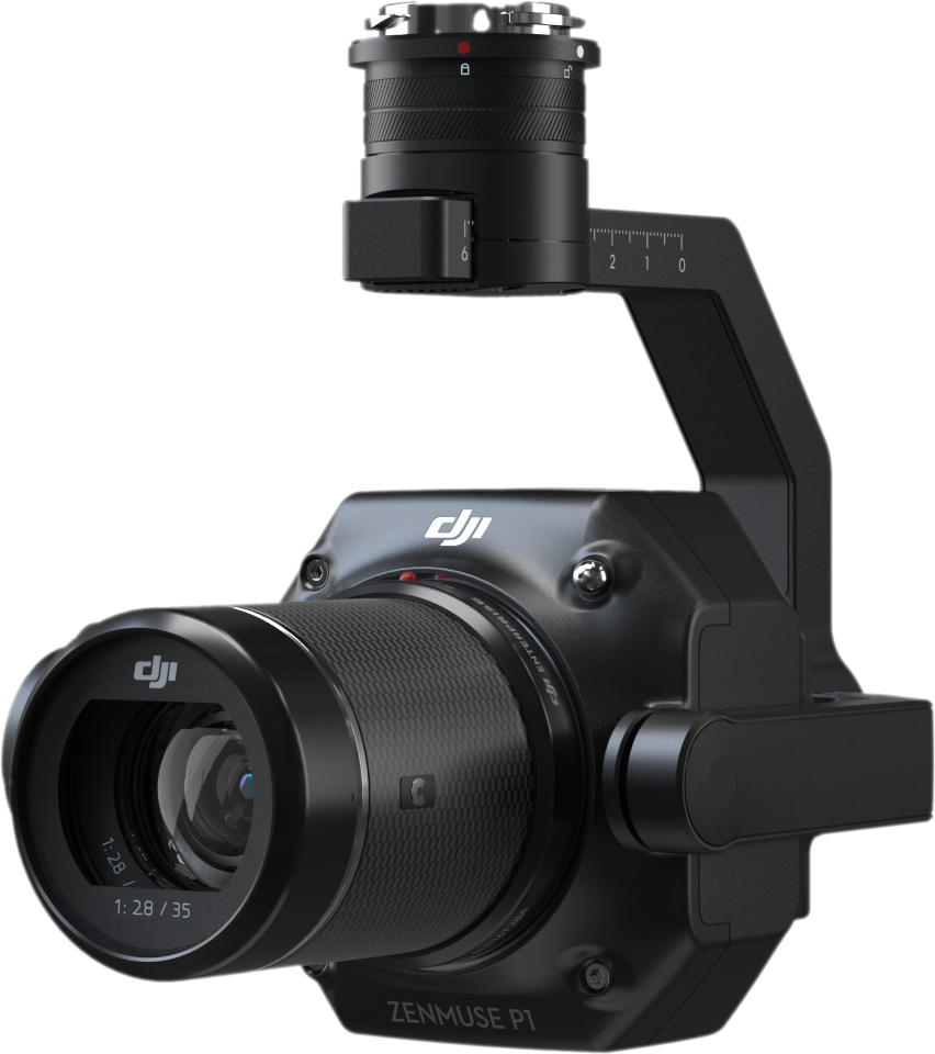
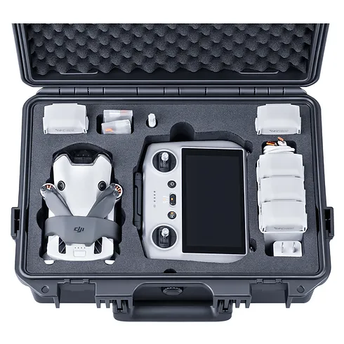
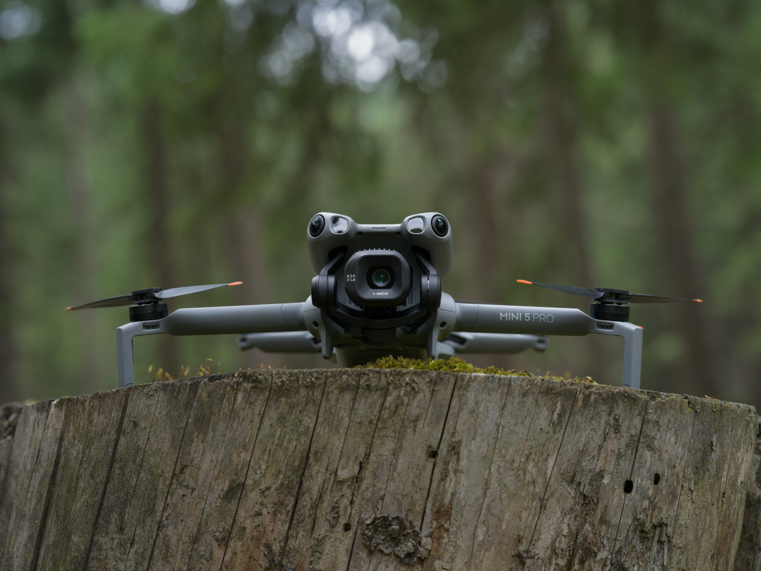
We explore what can be achieved using suitable consumer drones, including smaller DJI platforms, alongside the additional capabilities of enterprise aircraft and specialist sensors.
The Right Equipment for the Right Task
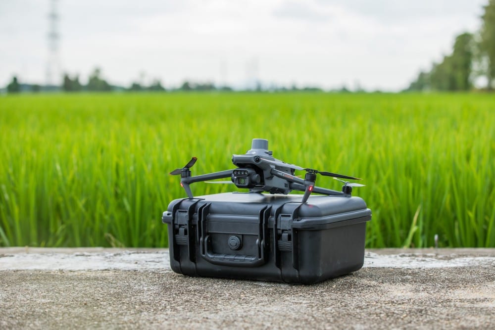
Not every drone is suited to every application. Understanding the capabilities and limitations of different aircraft is essential to producing reliable, fit-for-purpose mapping outputs.
HANDS-ON LEARNING AT IPROSURV
Real Aircraft. Real Flying. Real Experience.
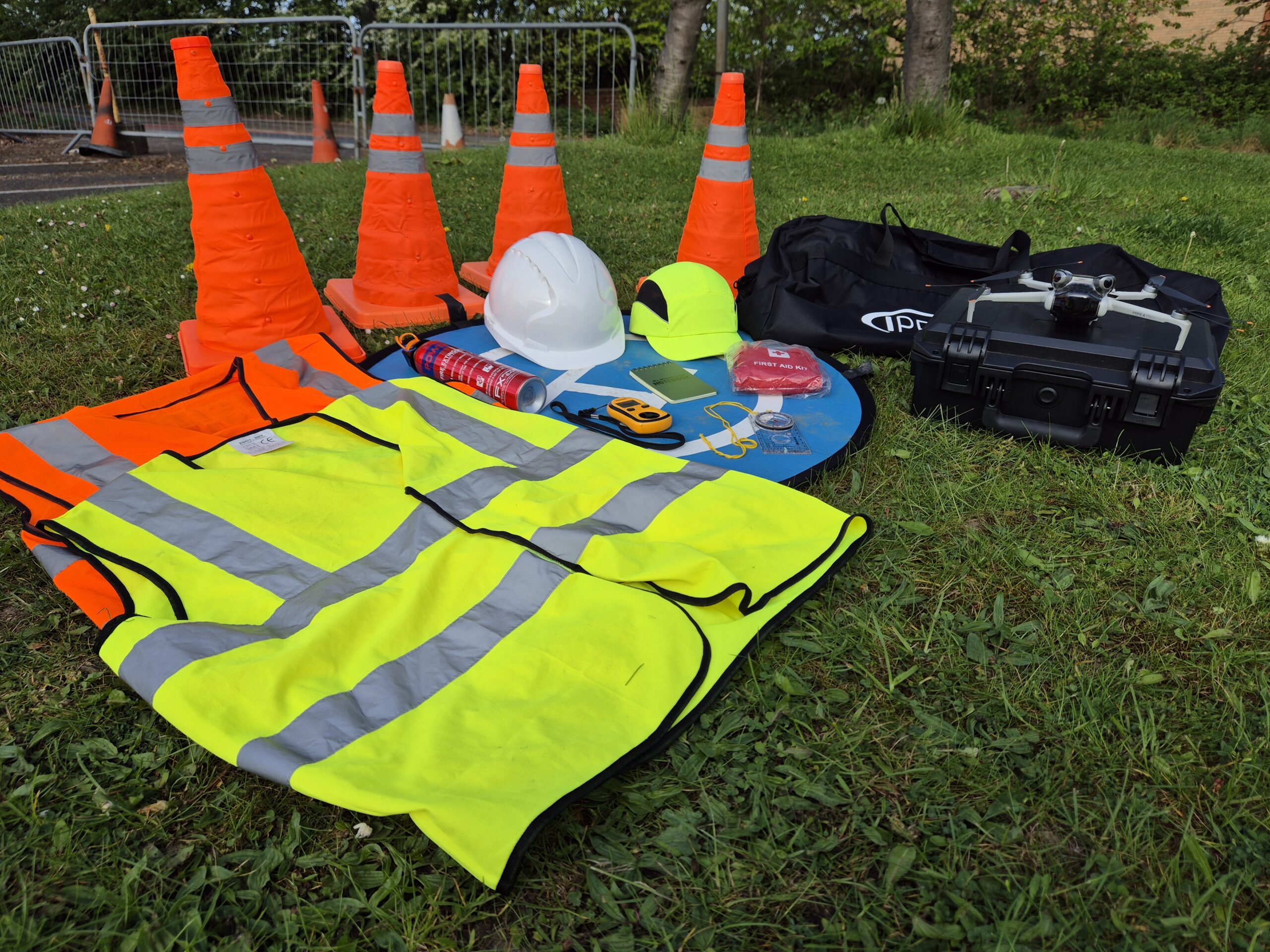
Our dedicated training facility at Dearne Valley College in South Yorkshire provides classroom facilities alongside a controlled outdoor flight training area, allowing you to put your learning into practice.
Dedicated Flight Area
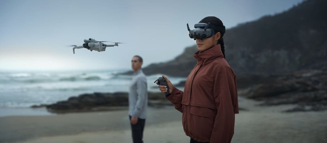
Develop practical flying and mission-planning skills in a managed training environment, with support from experienced instructors.
Try Before You Buy
Explore a selection of Iprosurv training and professional drones, subject to availability and suitability. Compare their capabilities and understand which platforms best support different tasks.
Bring Your Own Drone
Already own a drone? Bring it along and explore its mapping capabilities with guidance from our instructors, subject to prior approval and operational suitability.
Not Every Drone Is Right for Every Job.
One of the most valuable lessons in professional drone mapping is understanding how aircraft, camera systems and software affect the quality of your results. Our aim is to help you make informed decisions before investing in equipment.
Practical flying, aircraft demonstrations and use of personal drones are subject to weather, safety assessments, equipment availability and instructor approval.
Explore Mapping Software and Processing Workflows
Producing professional mapping data begins before the aircraft takes off. Learn how to plan a suitable capture mission, collect aerial imagery and process the results into useful 2D and 3D deliverables.
STAGE 01
Capture Data
Plan and conduct mapping flights, selecting suitable altitude, image overlap, camera settings and capture patterns to collect imagery for photogrammetry.
STAGE 02
Prepare & Process
Organise and inspect captured imagery, prepare datasets and use processing software to generate orthomosaics, point clouds and 3D models.
STAGE 03
Review & Deliver
Assess model quality, identify errors and limitations, and select appropriate digital formats for presenting information to clients.
Software covered: We introduce approaches using applications such as DJI Terra and gNext Labs, alongside discussion of free and commercial mapping tools.
Where Could These Skills Take You?
Drone mapping opens opportunities across a wide range of industries. Discover how the skills you develop can support real-world projects.
01
Construction Monitoring
02
Land & Topographical Surveys
04
Forestry & Environment
05
Infrastructure Inspections
06
Insurance & Damage Assessment
07
Agriculture & Land Management
Better Data. Better Decisions. Greater Opportunities.
Want to discover how drone technology is being used across different sectors? Explore our industry applications, real-world capabilities and professional drone solutions.
Explore Drone Solutions by Industry →
Learn at Our South Yorkshire Training Centre
Training is delivered at our dedicated facility at Dearne Valley College, Wath-upon-Dearne, Rotherham.
Our centre combines classroom teaching with a controlled outdoor flight training area, providing opportunities for practical mission planning, flight exercises and demonstrations of mapping techniques.
Students can gain experience of different aircraft and explore how their capabilities relate to commercial applications. You are also welcome to discuss bringing your own suitable drone to the course, subject to prior approval.
Practical flying remains subject to suitable weather, safety assessments and operational conditions.
Why Learn Drone Mapping with Iprosurv?
Iprosurv is not simply a training provider. We are an established drone operating company with practical experience across multiple commercial sectors.
Our instructors bring industry knowledge into the classroom, explaining how mapping data is used on real projects, the challenges operators encounter and the importance of delivering reliable, fit-for-purpose information to clients.
We understand that purchasing professional drone equipment can represent a significant investment. Our practical training and access to different aircraft can help you understand which systems are most appropriate for your intended work.
Learn how mapping works, experience different technologies and develop the confidence to apply your knowledge effectively.
Ready to See What Your Drone Can Really Do?
Develop your mapping skills, experience different aircraft and discover new opportunities with practical, industry-focused training.
Call 0114 4055 007
|
training@iprosurv.com