Construction
“Using Iprosurv in our first project management solution for scoping works and timetables is definitely…
Utility and infrastructure maintenance companies are under increasing pressure to detect and repair faults.
Iprosurv’s high-tech survey drones equipped with the latest thermal and RGB cameras can help with this. Thermal imaging cameras are heat sensitive and can detect differences and anomalies in temperature of less than 1°C.
Thermal inspections using drone technology are non-contact and can deliver immediate results that can be formulated into an easy to read report which can be used to quickly identify heat loss and defects in structures leading to better and quicker decision making and allocation of resources.
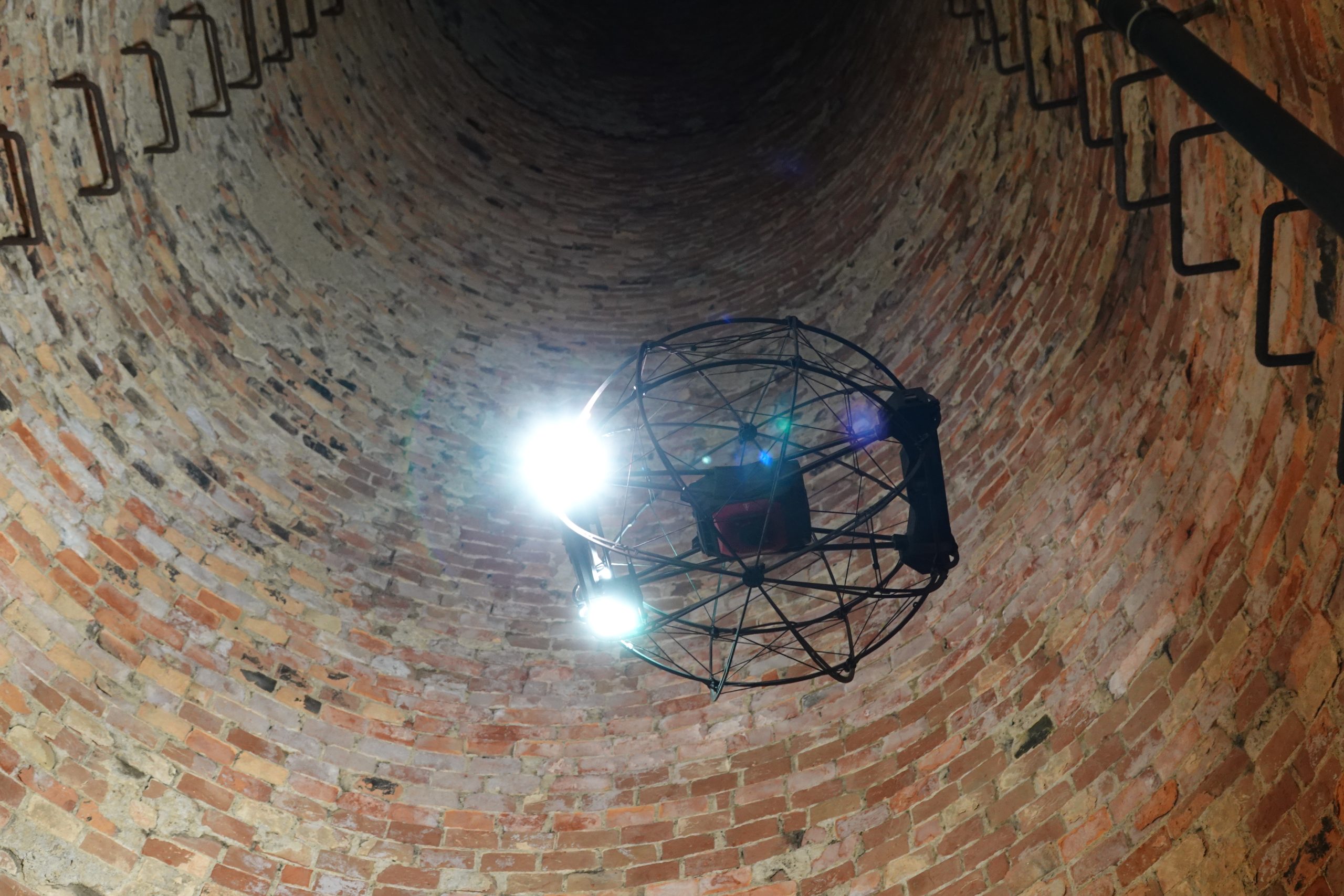
Using drones with the appropriate thermal camera Iprosurv are able to give our clients a unique in depth view of an asset from every angle and view parts of the structure that would normally be inaccessible.
Our survey drones can be equipped with multiple cameras, including state-of-the-art thermal-imaging cameras, for in-depth inspection of areas invisible to the human eye.
These can help with damp detection, post-flood assessment, structural problems, component failure, and energy and heat loss. Post-inspection analysis is also possible for desktop surveys and spot-temperature anomalies.
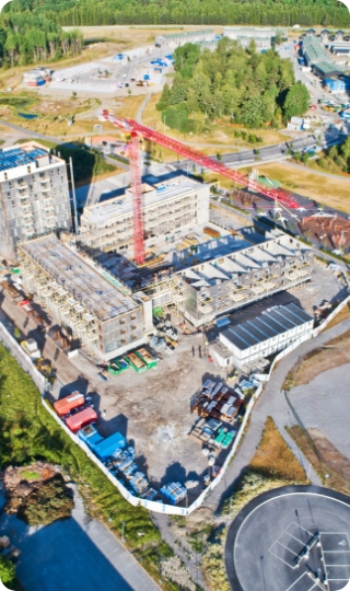
Drones allow us to collate data to produce accurate aerial surveys, 3D models and maps. These models can be shared with customers, collaborators and stakeholders, giving them a 360-degree perspective on a project and allowing them to explore a site remotely.

In conclusion, the integration of drone-based inspections and surveys with cutting-edge thermal camera technology heralds a transformative era in the realm of infrastructure and property assessment.
This innovative synergy empowers industries across the UK with unprecedented capabilities to enhance efficiency, accuracy, and safety.
As we anticipate the imminent rise of thermal surveys, there is a remarkable opportunity for organizations to capitalize on this trend and stay at the forefront of technological advancement.
By harnessing the aerial prowess of drones and the precision of thermal imaging, businesses can optimize maintenance strategies, detect hidden anomalies, and ensure regulatory compliance like never before.
Embracing this evolution is not just a prudent choice, but a strategic imperative for those poised to lead in an era defined by technological ingenuity.
As the demand for comprehensive and efficient inspections continues to soar, aligning with the thermal revolution will undoubtedly yield dividends for forward-thinking enterprises across the UK.
Welcome to the forefront of cutting-edge technology in inspections and surveys across multiple sectors.
Our innovative drone solutions, equipped with advanced thermal capabilities, revolutionize the way industries approach quality assessments and data collection.
With a keen focus on precision and efficiency, our drones empower sectors such as infrastructure, agriculture, energy, and more, to obtain invaluable insights through high-resolution thermal imaging.
Discover how our state-of-the-art aerial solutions redefine the standards of inspections, offering unprecedented levels of accuracy and cost-effectiveness. Join us in unlocking a new era of data-driven decision-making with the seamless integration of drones and thermal technology.
Elevate your inspection and survey endeavours with drone solutions boasting state-of-the-art thermal capabilities. Experience precision like never before as thermal-equipped drones meticulously identify anomalies and irregularities, delivering immaculate assessments for industries that demand uncompromising accuracy.
Immerse yourself in the future of data acquisition through thermal-enabled drones that seamlessly stream real-time insights. Harness the power of instant thermal image analysis, enabling agile responses and decisive actions across critical sectors where time is of the essence.
Empower search and rescue operations with an unmatched advantage—the ability to swiftly detect and locate targets via their distinct heat signatures. Elevate the efficiency of your missions by leveraging thermal drone technology to dramatically reduce search time and enhance overall success rates.
Champion a non-invasive approach to environmental monitoring by adopting thermal drone solutions. Effortlessly capture thermal data from a distance, safeguarding delicate ecosystems and habitats while fuelling pioneering conservation initiatives with unparalleled insights.
Pioneer a new era of asset integrity management with early-stage anomaly detection courtesy of thermal-enabled drones. Unveil structural deficiencies, leaks, and irregularities across critical assets like pipelines and infrastructure, mitigating risks, and fortifying operational resilience.
Propel your operational efficiency to soaring heights by embracing thermal drone technology. Replace labour-intensive manual inspections with a streamlined approach that slashes costs and accelerates project timelines, yielding exponential gains across sectors.
Unleash the potential of drone-assisted inspections in the most challenging and inaccessible terrains. Ascend to new dimensions of safety by deploying thermal-equipped drones to perform comprehensive assessments in high-risk environments, minimizing human exposure to danger.
Champion a sustainable ethos with thermal drones that prioritize environmental preservation. Minimize soil disturbance and reduce carbon footprint in environmentally sensitive regions, revolutionizing the landscape of asset monitoring through eco-friendly innovation.
Embark on a journey of data-driven insights by harnessing thermal technology’s multilayer capabilities. Uncover nuanced temperature differentials that empower industry experts to decode complex phenomena, be it optimizing energy consumption or understanding wildlife behaviour.
Enter an era of evidence-backed decision-making with thermal-equipped drone solutions. Leverage quantifiable data to inform strategic planning, bolster resource allocation, and catalyse efficiency gains across sectors hungry for precision-driven innovation.
Tell us about your project and we will come back to you with a quote.
We can train your team and supply the equipment.