Emergency Preparedness, Response & Recovery
Security & Public Safety | Emergency Planning & Incident Support Prepare for the unexpected. See…
|
A clearer view of the event.
|
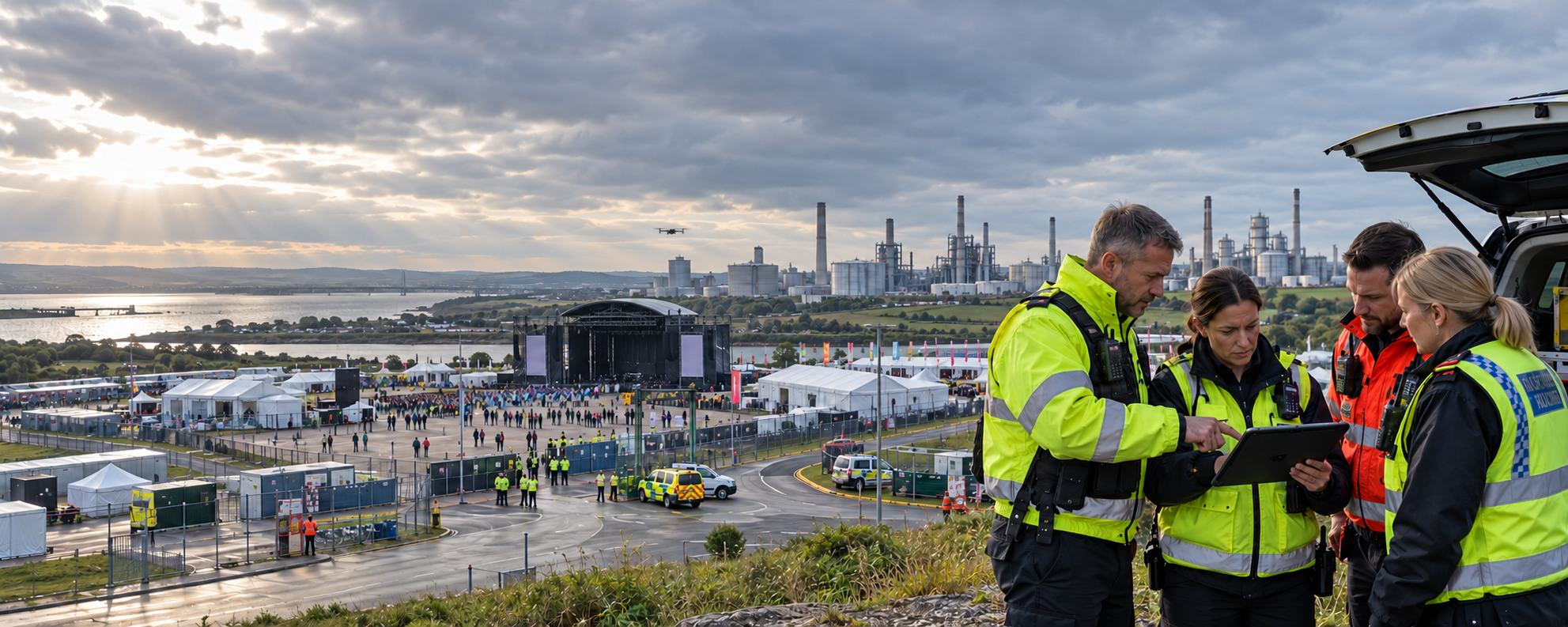
Aerial observation can help authorised event teams understand crowd movement, venue access and developing operational pressures. |
|
Large events are dynamic.
|
Where are crowds becoming concentrated?
Gain a wider view of crowd Are entrances and exits operating effectively?
Observe queue development, Can emergency services access the site?
Examine the condition of Are security teams seeing the full picture?
Provide additional information |
Drone Applications
Appropriately deployed drones can provide
event organisers with information that
complements existing security systems
and professional crowd management.
Observe movement patterns across
suitable areas of an event site,
helping trained event personnel
identify developing congestion,
queue pressures and potential
changes in crowd distribution.
Support assessment of vehicle
access, pedestrian approaches,
queue formations, parking areas
and emergency access routes,
helping organisers coordinate
movement around the venue.
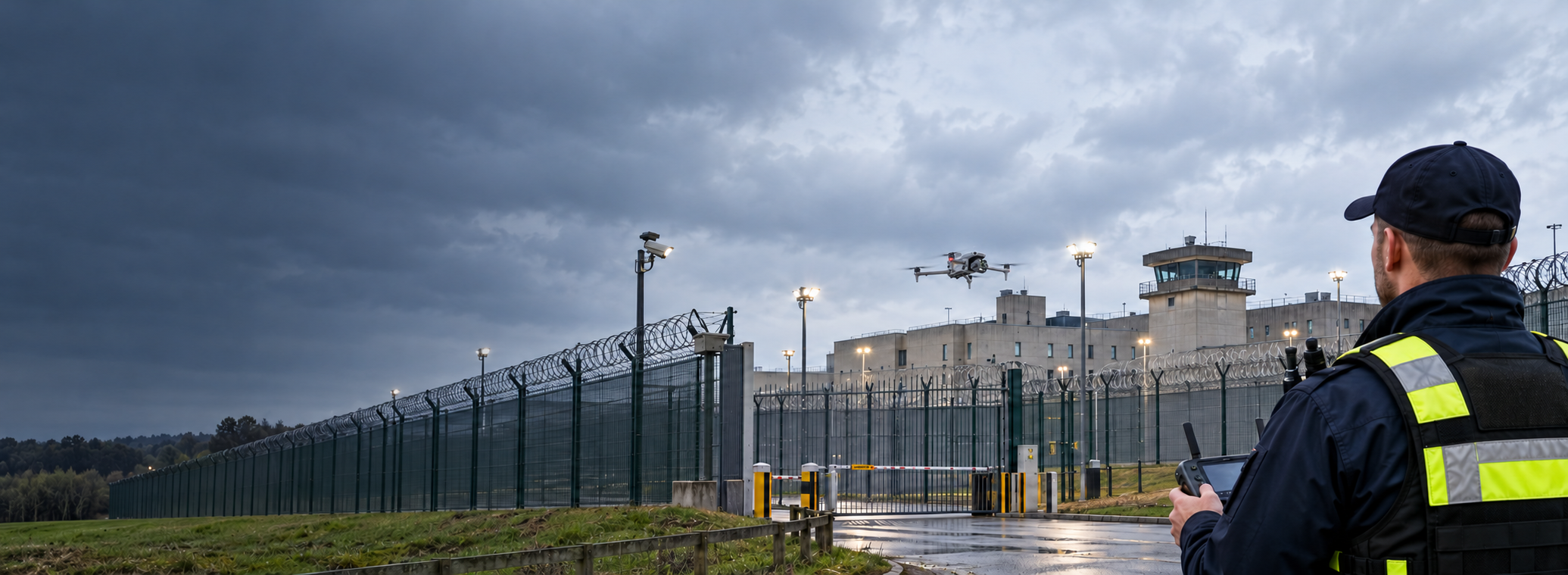
Examine event boundaries,
controlled access points and
sensitive operational areas
from appropriate flight positions,
supporting authorised security
observations and incident verification.
Provide a wider perspective
during selected incidents,
helping authorised responders
understand site conditions,
identify access difficulties
and coordinate ground resources.
From Planning to Event Control
Event drone operations should be integrated
into the wider safety and security plan,
with clear objectives, defined responsibilities
and suitable aviation permissions.
Review the venue, event layout,
airspace, safe operating areas,
crowd exposure, communications
and the specific information
event control requires.
From suitable authorised locations,
collect relevant visual information
about access routes, crowd movement,
perimeter conditions and
developing operational concerns.
Communicate relevant observations
to designated event personnel,
supporting decisions by trained
security teams, crowd managers
and emergency responders.
|
An aerial perspective
|
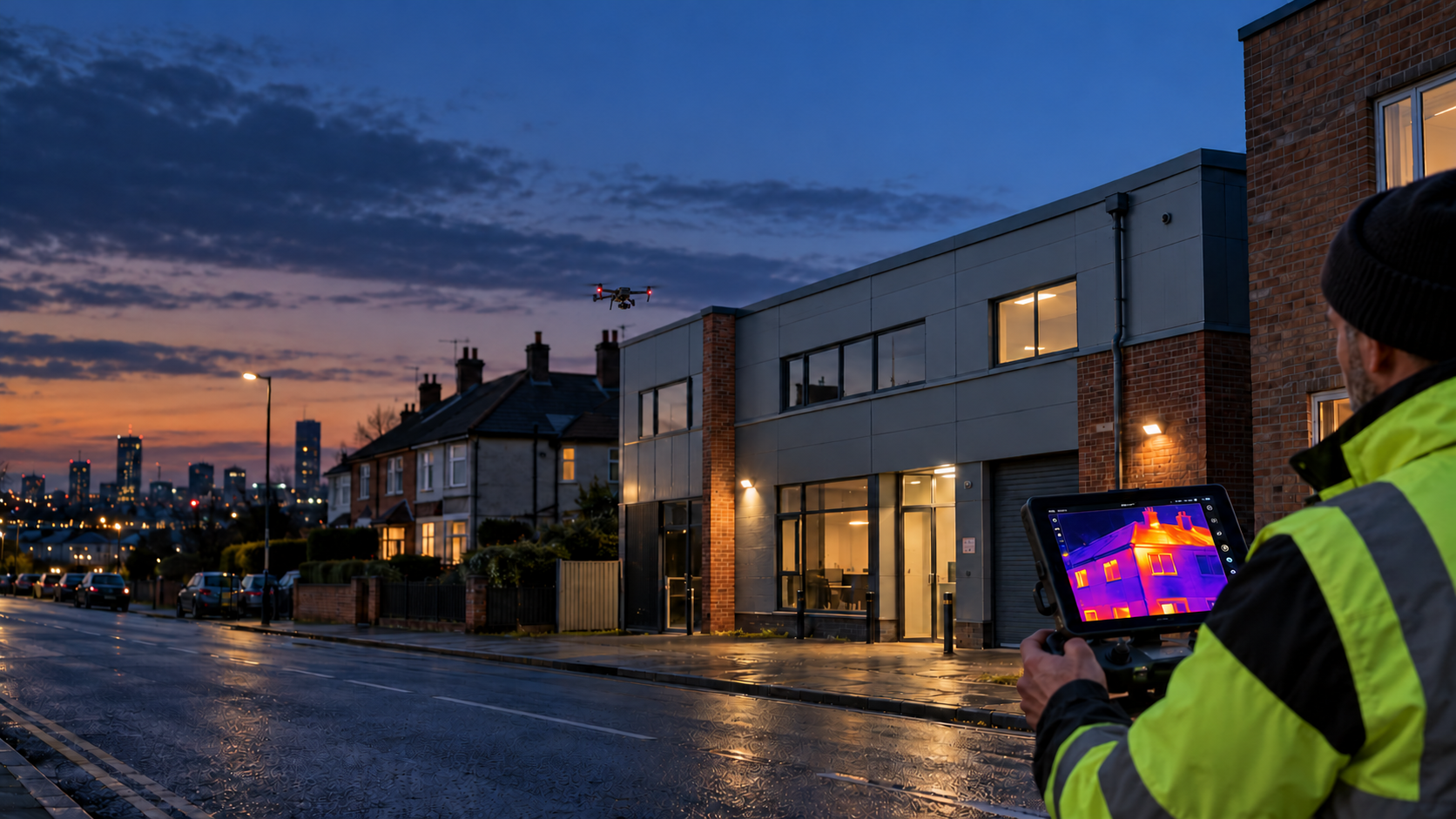
High-Resolution Visual Cameras Support wider-area observation of venue activity, infrastructure, access routes and relevant security conditions. Optical Zoom Technology Examine specific locations from appropriate stand-off positions while limiting unnecessary aircraft movement. Thermal Imaging Provides information about temperature contrast for suitable observation tasks, with careful interpretation of the imagery required. Live Operational Awareness Video-sharing arrangements can provide authorised event control teams with additional real-time context. |
Why It Matters
Drone imagery can complement existing
event management resources by providing
additional context to the people
responsible for keeping an event
organised and safe.
Gain a broader understanding
of selected areas of the
event site, including
access routes, boundaries
and developing congestion.
Relevant aerial observations
can support communication
between event control,
security personnel and
authorised response teams.
Appropriately collected
and managed imagery can
support post-event reviews,
site planning, incident
reporting and improvements
to future arrangements.
|
Effective aerial support
|
What should event organisers consider?
|
|
Give your event team
|
Iprosurv can help organisations |
Whatever you need drones to do, there are three ways to work with Iprosurv.
Our pilots carry out the survey or inspection and deliver the data and reports you need.
Accredited courses that give you and your team the skills to fly safely and legally.
The drones, sensors and software to run your own operations, with expert advice.
Tell us what you are trying to achieve and we will recommend the right service, training or equipment.