Emergency Preparedness, Response & Recovery
Security & Public Safety | Emergency Planning & Incident Support Prepare for the unexpected. See…
|
A clearer picture of public spaces.
|
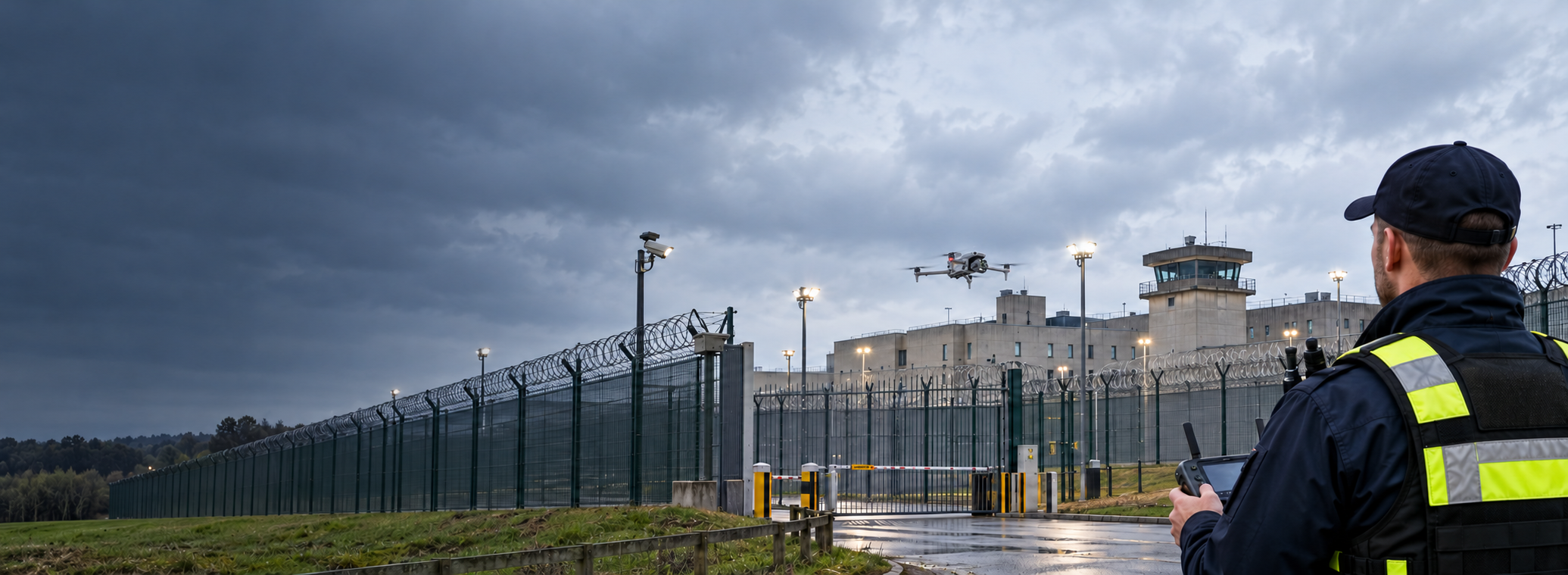
Planned drone operations can support community safety teams with aerial observations, thermal imagery and live operational awareness. |
|
The Challenge
Public safety teams need to
|
Questions That Matter
Where are concerns being reported?
Can authorised teams obtain additional
What changes after dark?
Could suitable low-light or thermal
Can the control room see the situation?
Could a secure aerial video feed
How should teams respond?
Can aerial observations help |
Drone Applications
From planned observations to incident-led
deployments, suitable drone systems can
help public-sector teams obtain relevant
information across complex environments.
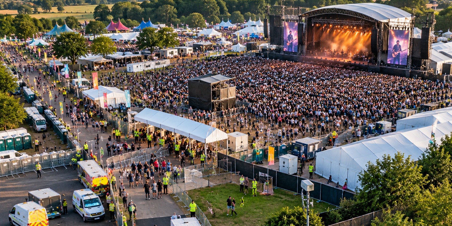
Planned aerial observations can support
authorised teams monitoring selected
town centre locations, parks, car parks
and other public areas. Drone imagery
can complement ground patrols and
existing surveillance infrastructure
where a defined operational need exists.
Following relevant reports of antisocial
behaviour or disorder, appropriately
authorised drone operations may provide
additional situational awareness,
supporting lawful incident assessment
and coordinated responses by
responsible agencies.
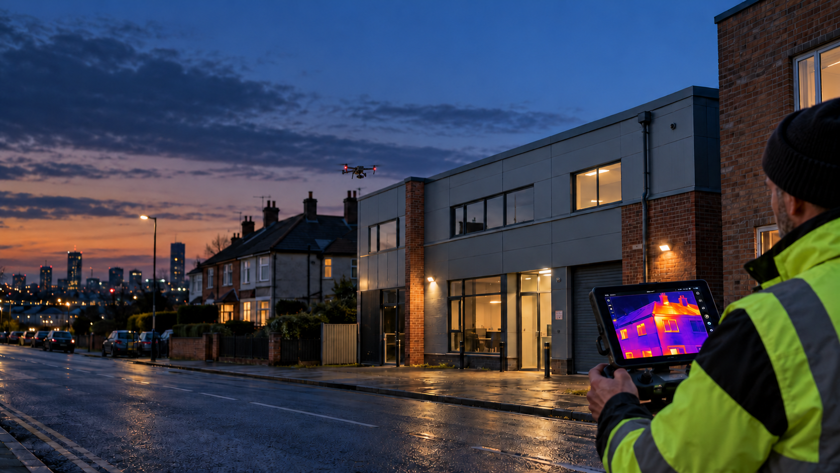
Thermal and low-light camera systems
can provide supplementary information
during suitable evening or night-time
operations. Temperature contrast may
assist in locating areas of interest,
but does not by itself identify
individuals or establish behaviour.
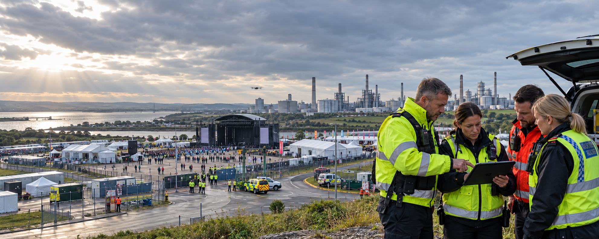
Where appropriate systems are available,
live aerial video can be shared securely
with designated control rooms, authorised
council personnel and operational partners,
helping teams understand conditions
during planned or incident-led activity.
From Observation to Action
Effective public safety drone operations
need defined purposes, clear operational
control and appropriate governance
from planning through to reporting.
Agree the deployment purpose,
flight area, appropriate sensors,
aviation permissions, privacy
safeguards and communication
arrangements.
Conduct authorised aerial
observations using suitable
visual or thermal sensors,
sharing relevant information
through agreed secure channels.
Share findings with designated
decision-makers and support
established response,
reporting and escalation
procedures.
|
Aerial imagery, thermal
|
Visual Observation High-resolution imagery supports observations of selected public spaces and incident conditions.
Thermal Imaging Temperature-contrast imagery assists suitable low-light observations within understood sensor limitations.
Live Control Room Feeds Secure video transmission can provide additional situational awareness to authorised personnel.
Operational Coordination Aerial observations complement existing ground teams, CCTV systems and response procedures. |
Responsible Public Safety Operations
Drone capability does not automatically
justify surveillance. Every deployment
needs a clear operational purpose.
Operational Benefits
Aerial observation can help
Live imagery supports situational |
Privacy & Legal Responsibilities
Public authorities must establish
A DPIA should consider imagery, |
Why It Matters
Where there is a legitimate operational
requirement, aerial observation can
complement community safety arrangements
and support informed decisions.
Obtain additional context
about selected public spaces,
developing incidents and
conditions that may be
difficult to assess
from ground level.
Secure live video can support
authorised control room
personnel and operational
teams when coordinating
appropriate responses.
Combining visual, zoom
and thermal technologies
provides options for
differing conditions,
environments and
operational requirements.
|
The operation should
|
What should local authorities consider?
|
|
A clearer view when
|
Iprosurv can help local authorities, |
Whatever you need drones to do, there are three ways to work with Iprosurv.
Our pilots carry out the survey or inspection and deliver the data and reports you need.
Accredited courses that give you and your team the skills to fly safely and legally.
The drones, sensors and software to run your own operations, with expert advice.
Tell us what you are trying to achieve and we will recommend the right service, training or equipment.