Illegal Cultivation & Property Misuse Detecti…
Security & Public Safety | Illegal Cultivation & Property Misuse Detection Uncovering hidden risks. Supporting…
|
Prepare for the unexpected.
|
Drone mapping and aerial observations support emergency preparedness, incident management and recovery. |
|
The Challenge
The time to understand
|
Questions That Matter
Are emergency plans based on current site information?
Compare plans against the actual
Are evacuation routes and assembly areas clearly documented?
Map designated routes, access
Where will emergency responders arrive?
Document proposed rendezvous points,
What happens when conditions change?
Use aerial observations and |
Drone Applications
From mapping potential evacuation routes
to documenting major incidents, aerial
data can support emergency planners,
site operators and authorised response
teams throughout the emergency lifecycle.
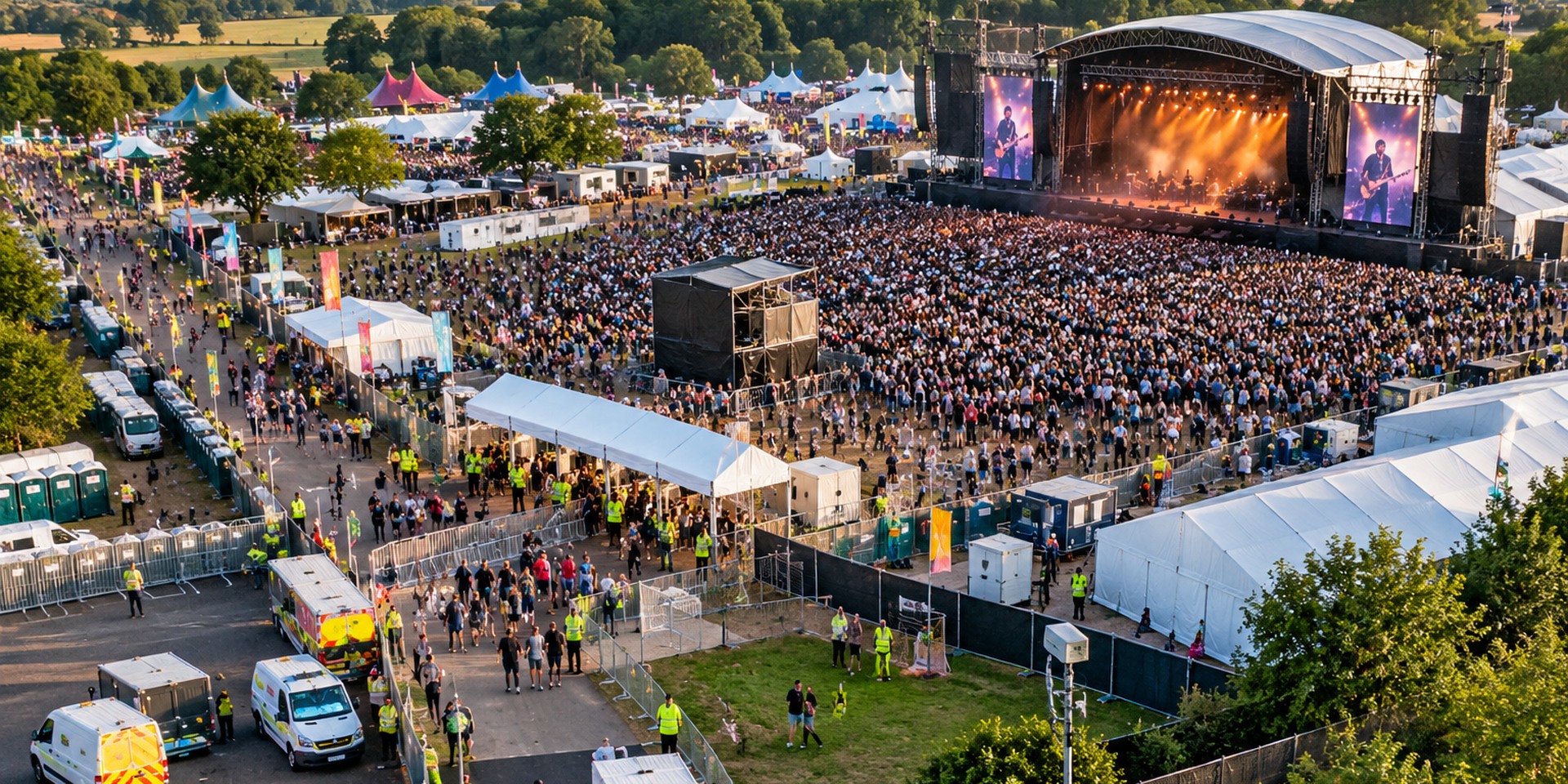
Create current aerial maps of event
venues showing entrances, exits,
pedestrian routes, emergency vehicle
access, temporary structures and
designated assembly areas. Outputs
can support event safety planning,
briefings and emergency exercises.
Support operators of major accident
hazard establishments with orthomosaics,
site imagery and 3D models showing
relevant infrastructure, access roads,
emergency facilities and designated
response locations. Spatial data can
inform specialist emergency planning
and coordination.
Map designated evacuation routes,
exits, pedestrian connections,
assembly points and potential
obstructions. Drone data provides
a useful reference for qualified
personnel assessing access,
capacity and emergency arrangements.
Document proposed emergency
rendezvous points, responder
access routes, vehicle staging
areas and operational approaches.
Aerial mapping can help planners
evaluate site layouts and
communicate arrangements
with emergency partners.
Where safe and appropriately
authorised, drones can provide
aerial observations of floods,
fires, storm damage and developing
incidents. RGB, zoom and thermal
imagery may support situational
awareness and information sharing.
Produce detailed orthomosaics,
photogrammetric 3D models and
documented imagery following
major incidents. Outputs can
support damage assessment,
insurance investigations,
repair planning and restoration.
From Preparedness to Recovery
Effective emergency drone services begin
with clearly defined objectives and
end with useful information delivered
to the people responsible for decisions.
Capture relevant site imagery,
infrastructure layouts, access
routes and designated emergency
locations using suitable
aerial survey techniques.
Provide maps and models for
emergency planners to assess
arrangements, identify gaps
and support exercises,
briefings and plan reviews.
Where authorised, provide
relevant live observations
during incidents and detailed
aerial data for subsequent
damage assessment and recovery.
|
Technology in Action
Accurate site information
|
Emergency Site Mapping Detailed aerial maps can show site layouts, designated routes and infrastructure relevant to emergency plans.
3D Site Models Digital models help communicate the spatial relationship between terrain, structures, routes and response areas.
Thermal Observation Temperature-contrast imagery can assist selected tasks, provided sensor and environmental limitations are understood.
Live Operational Video Suitable systems can share aerial imagery securely with authorised incident command and control teams. |
Understanding Emergency Planning
Drone imagery provides a useful
spatial record, but the suitability
of emergency arrangements must
be determined by competent
personnel using all relevant
hazard and operational information.
Events & Public Venues
Aerial mapping can help
Event safety specialists |
COMAH & Major Hazard Sites
Site maps can support
Decisions about evacuation, |
Why It Matters
Accurate aerial data can support
emergency planning and improve
the information available to
organisations before, during
and after a major incident.
Document existing layouts,
access routes, buildings
and designated emergency
locations with up-to-date
imagery and mapping.
Share understandable maps
and 3D site views to
support planning discussions,
responder familiarisation
and emergency exercises.
Aerial observations and
detailed survey outputs
can help authorised
teams assess incidents
and plan recovery work.
|
The right survey
|
What should organisations consider?
Are our emergency maps current?
Check that plans reflect
Are evacuation arrangements clearly documented?
Identify the designated
Where will emergency responders arrive?
Review proposed rendezvous
What outputs will planners use?
Determine whether annotated
How will the plans be validated?
Agree specialist review, |
|
Turning incident damage
|
Iprosurv aerial imagery following
the Wennington village fire. |
|
Better prepared before
|
Iprosurv can support event |
Whatever you need drones to do, there are three ways to work with Iprosurv.
Our pilots carry out the survey or inspection and deliver the data and reports you need.
Accredited courses that give you and your team the skills to fly safely and legally.
The drones, sensors and software to run your own operations, with expert advice.
Tell us what you are trying to achieve and we will recommend the right service, training or equipment.