Case Study Drone Mapping Reveals Seed Drill Faults
2.14 acres Area identified for closer assessment DJI Mavic 3M Multispectral Aircraft used to capture…
The challenge
After a devastating fire in Wennington, multiple properties had been destroyed and others badly damaged. Unstable structures and restricted access made traditional on-site surveys difficult, while insurers, loss adjusters and recovery teams needed information to begin assessing the damage.
The response involved many organisations, each with different questions to resolve. Insurers and loss adjusters needed to review damage, while demolition companies and engineers needed information to plan their work. The challenge was to deploy quickly, survey a large affected area and provide a shared visual record that could serve multiple purposes.
Case at a glance
Location: Wennington, East London
Event: Major village fire
Platform: DJI Mavic 3E
Flight planning: DJI Pilot 2
Processing: gNext Labs
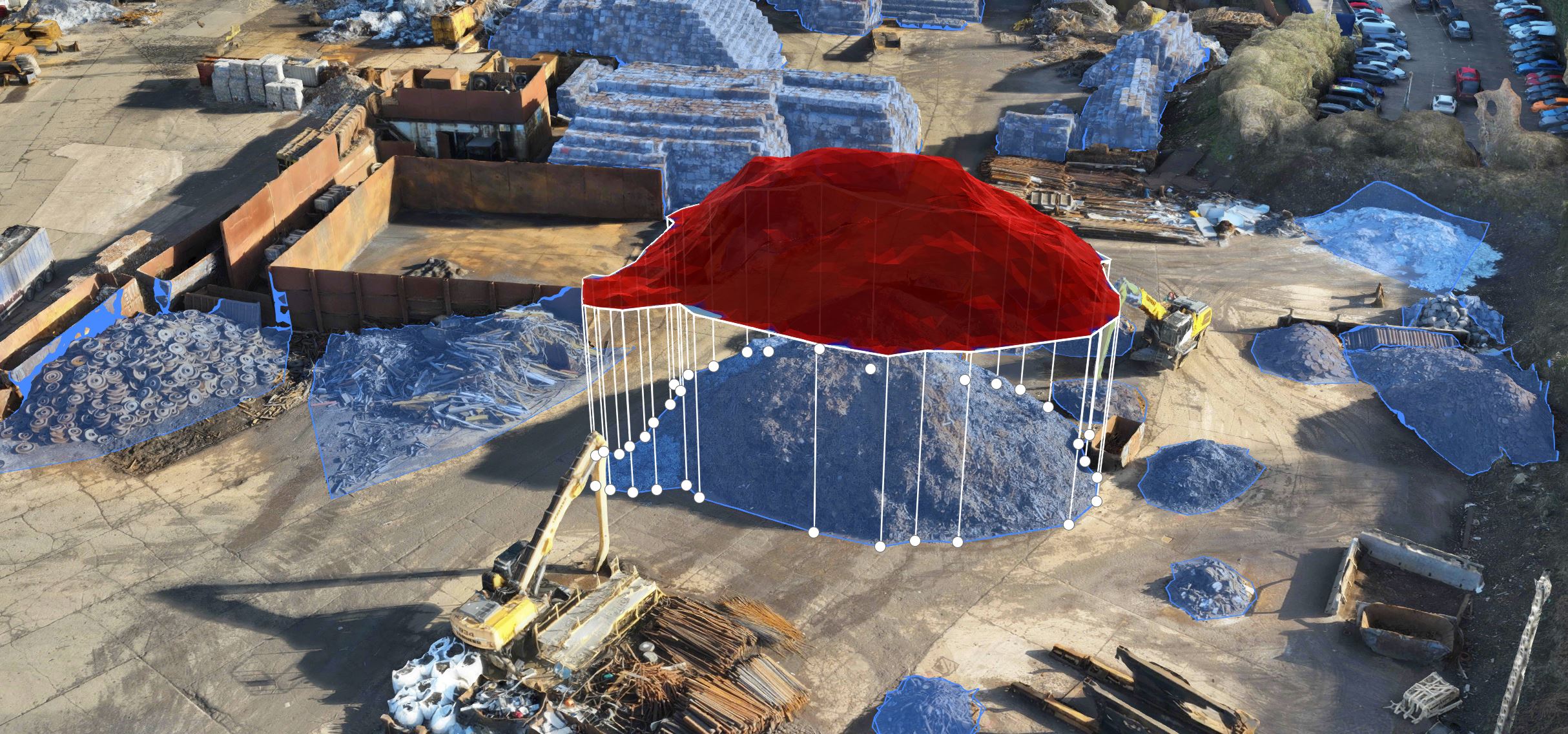
Output: 3D mesh model and mapped data
The approach
Iprosurv used a DJI Mavic 3E to capture imagery across the fire-affected area. DJI Pilot 2 was used to plan the flights, and the collected data was processed in gNext Labs to create a 3D mesh model for remote review.
Use DJI Pilot 2 to plan data capture across the affected area and respond to the need for information after the fire.
Fly the DJI Mavic 3E to gather detailed imagery across the affected properties and surrounding area, reducing the need for teams to access hazardous locations just to gain an overview.
Use gNext Labs to process the imagery into a 3D mesh model that multiple stakeholders can review for their own assessment and planning needs.
The result
The drone survey provided a mapped view of the fire-affected area and a 3D mesh model for remote review. The data was shared with more than 20 insurance companies and loss adjusters, alongside demolition companies and engineers involved in the recovery.
A shared dataset gave different teams a common visual reference. It could support damage assessment, help inform planning and allow stakeholders to revisit the scene without each needing to arrange separate access to the affected properties.
Who used the data
Why it matters
After a major incident, multiple organisations may need to assess the same location for different reasons. A drone survey can capture a broad visual record quickly, while a 3D mesh model gives stakeholders a way to review the scene remotely and identify areas that need further attention.
When the same dataset can support insurance assessment, engineering review and demolition planning, teams have a common reference point for discussions and next steps.
Start with the event
Tell us about the site, access conditions and the teams that need to review the data. We’ll help you assess how drone mapping and 3D modelling could support the response.