Case Study Drone Mapping Reveals Seed Drill Faults
2.14 acres Area identified for closer assessment DJI Mavic 3M Multispectral Aircraft used to capture…
The challenge
The recycling centre’s existing stockpile audits relied on staff taking manual measurements and estimating material density. This took time and brought people close to stockpiles and moving heavy plant machinery.
The company wanted to assess whether drone surveys could measure loose and baled metal more accurately. The proof of concept needed to compare drone-derived figures with independently checked quantities, including test material with known volumes and densities.
Case at a glance
Sector: Recycling
Material: Loose and baled metal
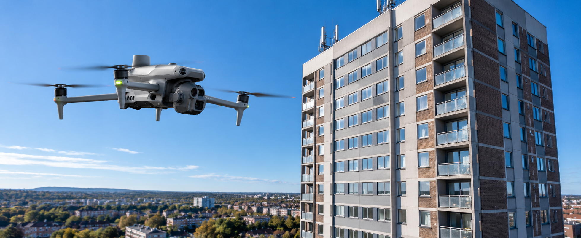
Platform: DJI Matrice 4E
Processing: gNext Labs
Purpose: Assess volume data against independent measurements
The approach
Iprosurv completed risk assessments and established safe take-off and landing areas before collecting data. The team used a DJI Matrice 4E to survey stockpiles at three sites, then processed the data in gNext Labs to calculate volumes and produce stockpile reports.
Assess site risks and establish suitable take-off and landing areas before surveying.
Capture three surveys at each of the three sites, creating nine datasets for comparison.
Calculate stockpile volumes in gNext Labs, then compare the results with independent measurements and weighing.
The result
The proof of concept produced nine datasets from three sites. After the surveys, stockpiles and bales were independently measured and weighed to check the drone-derived data.
For the test stockpiles and bales with known volumes and densities, the reported drone-derived figures were within 1% of the independent validation. The case study compared this with previous accuracy margins of 15–20% using the earlier audit method.
What the data supported
Why it matters
When volume estimates inform processing and valuation, teams need a clear method for collecting and checking the data. A drone survey can help build a consistent record of stockpiles while reducing reliance on manual measurements around moving plant.
The consultation also considered drone docks and remote operations. Those ideas remained separate from this proof of concept, which used staff-deployed surveys to test the data and workflow.
Start with the operation
Tell us about your site, materials and current audit process. We’ll help you assess whether drone surveying could support your operation.