
Build practical drone surveying capability inside your business
Practical drone surveying, mapping, photogrammetry, LiDAR and CAA training for businesses and individuals across South Yorkshire and the East Midlands.
Iprosurv’s Drone Surveying & Digital Construction Skills Bootcamp takes learners beyond simply flying a drone.
Learn how to plan professional drone operations, capture accurate site data and turn that information into practical outputs for surveying, construction, engineering, inspection, mapping and asset management.
No previous drone experience required. Training aircraft provided.
£4,100 programme value
Eligible SMEs with fewer than 250 employees contribute just 10%: £410 per learner.
Funding is subject to eligibility and availability.
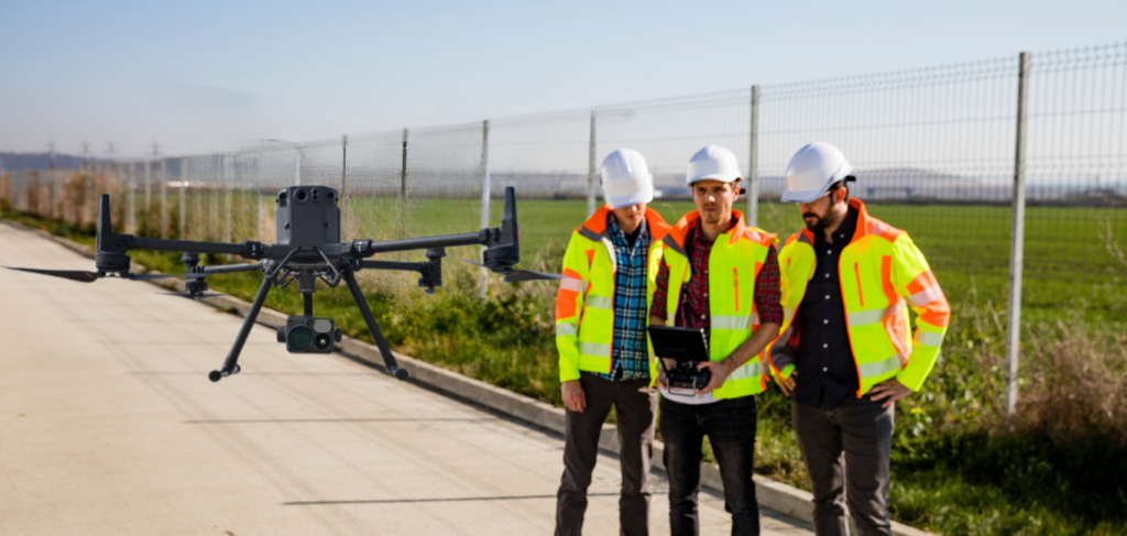
Practical Drone Surveying Training for the Workplace
Flying is only one part of a professional drone operation.
The real value comes from understanding what information you need, how to capture it correctly and what you can do with that data afterwards.
Iprosurv’s Drone Surveying & Digital Construction Skills Bootcamp takes learners through the complete workflow, from understanding a site and planning a safe operation through to capturing, processing, measuring and applying drone-derived data.
The programme combines CAA drone training with practical surveying, mapping, photogrammetry and digital construction skills, helping learners understand how drone technology can be integrated into real workplace applications.
The objective is simple:
PLAN → FLY → CAPTURE → PROCESS → MEASURE → APPLY
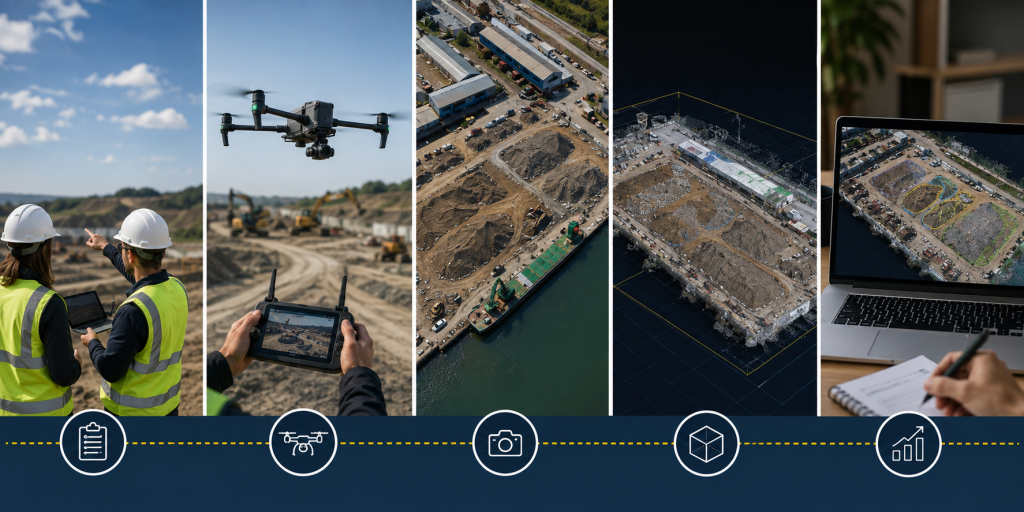
What You Will Learn on the Drone Surveying Skills Bootcamp
PLAN IT.
Drone Flight Planning & Safe Operations
Understand the site, airspace, weather, risks, people, property, operational roles and mission objectives before the aircraft leaves the ground.
Learners develop an understanding of professional flight planning, site assessment, risk assessment, pre-flight procedures, emergency procedures and how the intended survey output influences mission planning.
FLY IT.
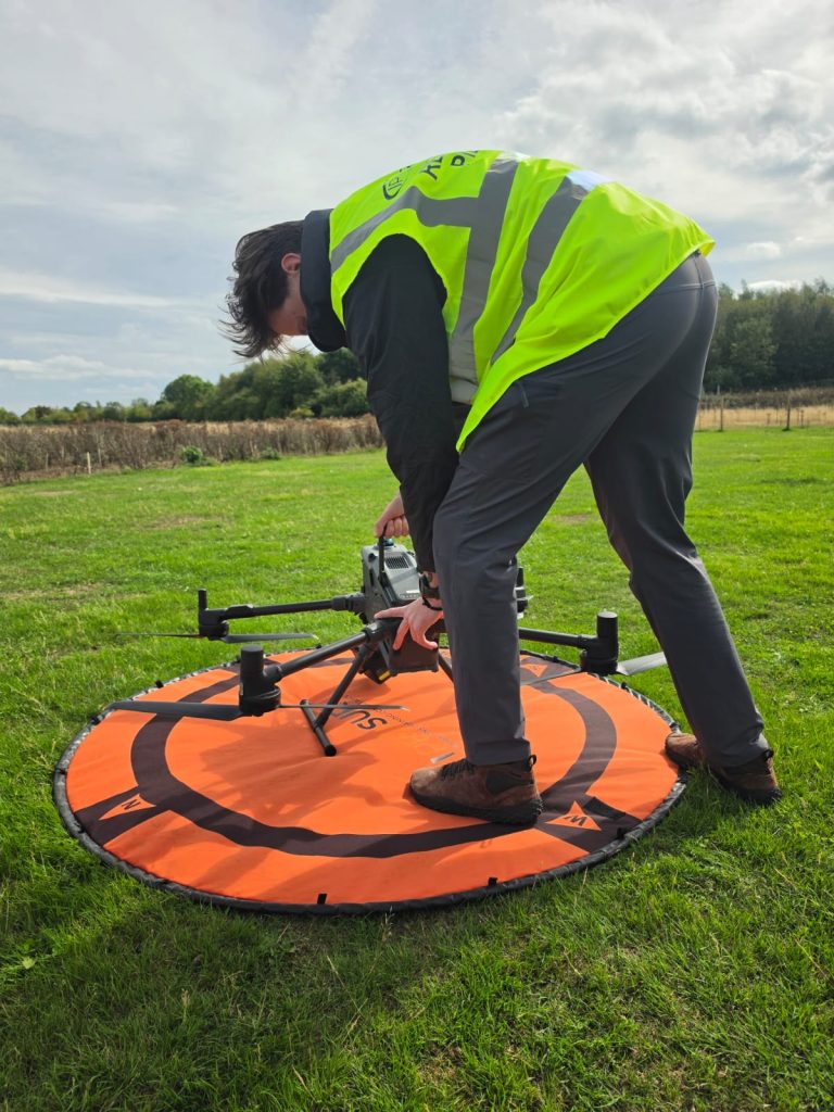
Practical Drone Flying
Develop confidence operating drone platforms safely, accurately and with a clear operational purpose.
Structured practical exercises cover aircraft handling, orientation, positioning, manoeuvring and mission execution.
This is not flying for the sake of flying. Learners develop the practical skills required to operate an aircraft as part of a professional workflow.
CAPTURE IT.
Drone Mapping & Survey Data Capture
Learn how to collect the right data for the job.
Learners explore how flight height, image overlap, camera settings, positioning and mission design affect the quality of captured information.
Applications include:
- Site mapping
- Topographic data capture
- Construction progress monitoring
- Asset and building inspection
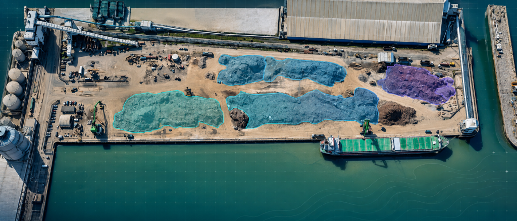
- Stockpile surveys
- Terrain mapping
- Photogrammetry
- Orthomosaic mapping
PROCESS IT.
Photogrammetry & Drone Data Processing
The job does not finish when the drone lands.
Learners explore how captured imagery can be organised, processed and quality checked to create useful digital outputs.
These can include:
Orthomosaic maps | Point clouds | 3D models | Digital surface information | Terrain data | Measurements | Visual site records
Learners also develop an understanding of data quality, accuracy and the limitations of different capture methods.
MEASURE IT.
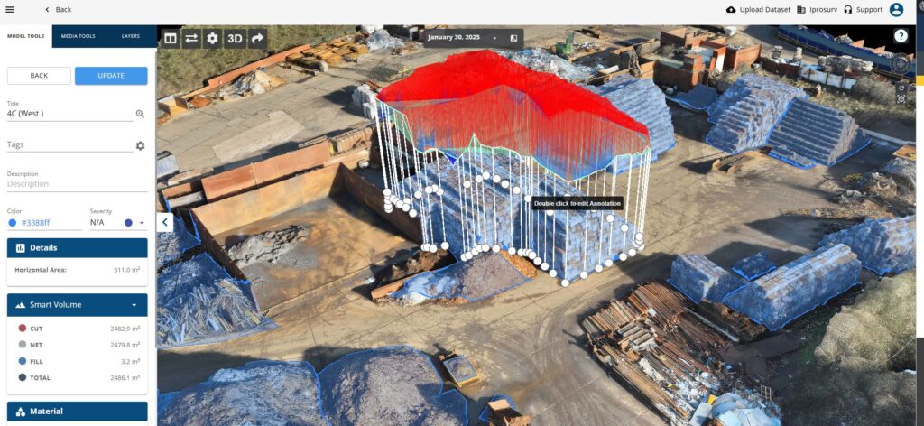
Survey Measurement, Volumetrics & Cut and Fill
Move beyond looking at imagery and start extracting useful information.
Learners explore how drone-derived datasets can support:
- Distance and area measurement
- Stockpile volumes
- Earthworks
- Cut-and-fill calculations
- Terrain assessment
- Site change analysis
- Construction progress monitoring
This bridges the gap between operating a drone and using drone technology as a practical surveying and measurement tool.
APPLY IT.
LiDAR, 3D Data & Digital Construction
Explore more advanced forms of spatial data capture, including LiDAR and point cloud data.
Learners develop an understanding of where LiDAR, photogrammetry and other capture methods can be applied and how drone-derived information can support wider digital construction workflows.
Applications can include:
BIM | Digital twins | Site progress | Surveying | Inspection | Asset management | Earthworks | Construction monitoring | Client reporting

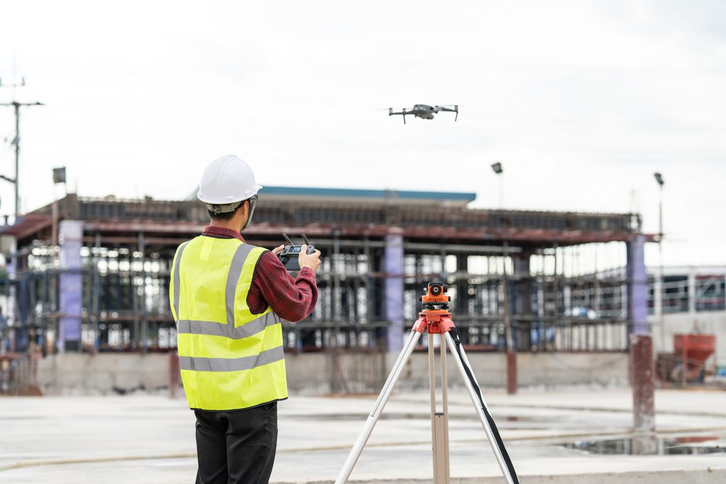
From Drone Flight to Business Intelligence
How Can Drone Surveying Be Used in Your Business?
For many organisations, the opportunity is not to employ a dedicated full-time drone pilot.
It is to give an existing employee another capability they can use within the role they already perform.
A site engineer could use repeat drone mapping to monitor construction progress.
A surveyor could use aerial data capture alongside existing survey techniques.
A contractor could calculate stockpile volumes or monitor earthworks.
An asset management team could create repeatable visual records of buildings, roofs and infrastructure.
A project manager could use aerial imagery and digital models to improve reporting and provide stakeholders with a clearer view of site progress.
An organisation could also assess work currently outsourced to external providers and identify where developing an internal drone capability could make commercial sense.
The Bootcamp helps learners understand both where drone technology can add value and where alternative surveying methods may remain more appropriate.
What you will learn:
Bring a Real Business Challenge With You
We encourage employers and learners to identify a real application for drone technology within their organisation.
Perhaps you’re asking:
Could we monitor this site more efficiently?
Could we measure our stockpiles ourselves?
Could drone data complement our existing surveys?
Could we improve construction progress reporting?
Could we inspect assets without immediately requiring traditional access?
Could we create repeatable digital records of our sites?
The Bootcamp gives learners the knowledge and practical experience to begin answering those questions from an informed position.
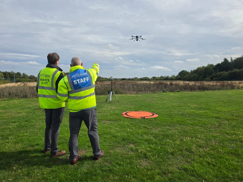
Who Is the Drone Surveying Skills Bootcamp For?
The programme is designed for businesses and individuals working across the built environment and related technical sectors.
It is particularly relevant to:
Construction | Civil Engineering | Surveying | Utilities | Infrastructure | Housing | Architecture | Facilities Management | Asset Management | Environmental & Land Management
Typical learners may include site engineers, project managers, surveyors, quantity surveyors, construction managers, architects, asset managers, inspectors, engineers, technicians and digital construction professionals.
No previous drone experience is required.
Training aircraft are provided throughout the practical elements of the programme.
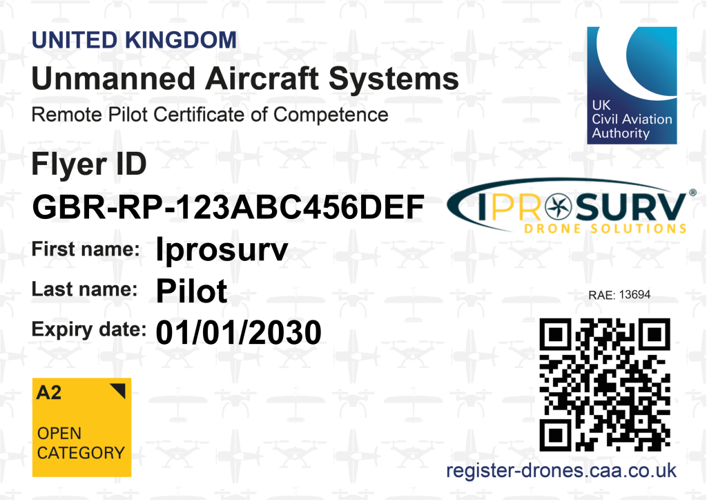
Civil Aviation Authority (CAA) Drone Certifications Included
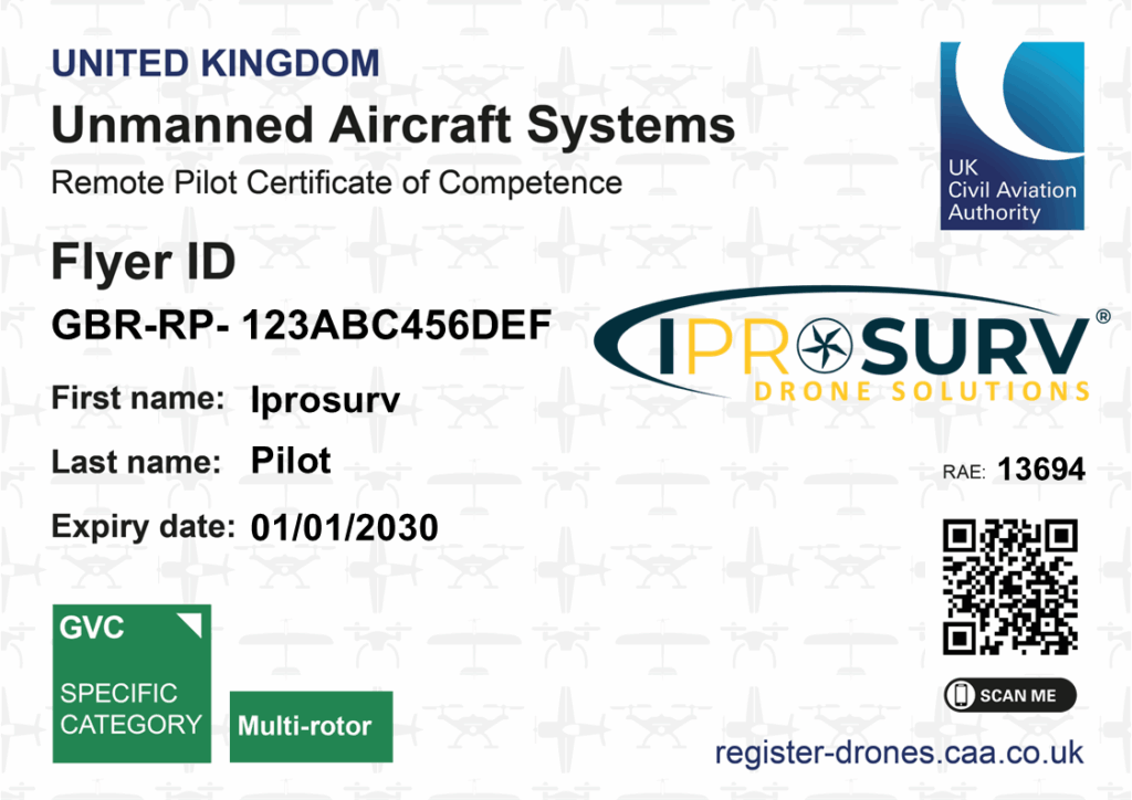
Learners work towards recognised CAA remote pilot qualifications alongside the wider surveying and digital construction skills developed throughout the programme.
- A2 Certificate of Competency (A2 CofC)
- General Visual Line of Sight Certificate (GVC)
Iprosurv is a CAA Recognised Assessment Entity (RAE).
This means learners develop their practical surveying and digital skills alongside the knowledge required to understand safe and compliant commercial drone operations.
How the Skills Bootcamp works:
Flexible, Blended Drone Training
The programme combines online learning, face-to-face practical training, software-based activity and applied project work.
Online Learning
Develop knowledge of drone operations, regulation, airspace, planning and the principles behind the digital surveying workflow.
Practical Drone Training
Put the theory into practice through aircraft handling, mission planning, survey data capture and structured operational exercises.
Mapping & Data Processing
Work with captured information to understand photogrammetry, mapping, measurement, modelling and digital outputs.
Applied Workplace Learning
Explore how the skills developed during the programme could be applied within the learner’s existing role, organisation or future employment.
Delivery: Blended online and face-to-face
Practical training: South Yorkshire
Equipment: Training aircraft provided
Experience required: None

Funding and employer contribution
Programme Value
£4,100 per learner
SME Employer
£410 (10% employer contribution)
For eligible businesses with fewer than 250 employees.
Larger Employer
£1,230 (30% employer contribution)
For eligible businesses with 250 employees or more.
Funding and employer contributions are subject to Skills Bootcamp eligibility requirements and availability.
If you are self-employed, seeking employment or unsure which funding route applies, speak to our team and we can check your circumstances.
Industry-Led Training Delivered in Partnership
The Drone Surveying & Digital Construction Skills Bootcamp is delivered by Iprosurv in partnership with RNN Group.
The programme brings together education, CAA-recognised drone training, industry experience and practical digital skills.
Current programmes are supported through regional Skills Bootcamp funding for eligible learners and employers across South Yorkshire and the East Midlands.
Register your interest or enquire about places
If you are an individual interested in joining the Bootcamp, or an organisation looking to sponsor one or more learners, please complete the short form below and a member of the training team will contact you.