Featured Training

Courses

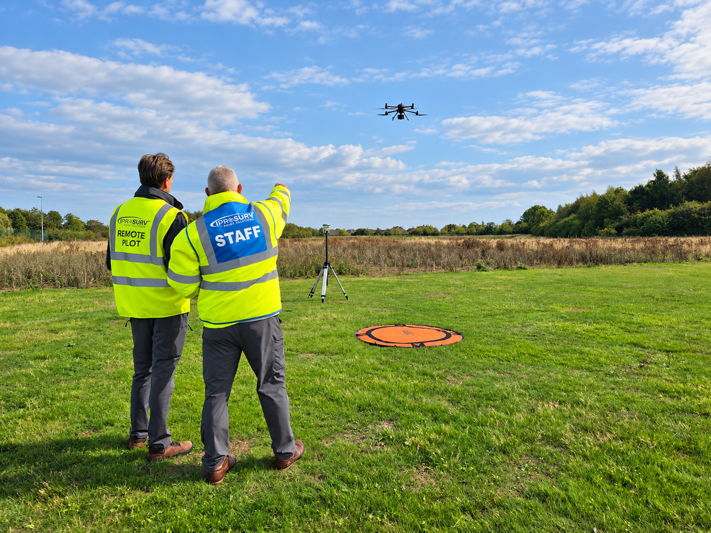
Iprosurv funded drone training

Skills Bootcamp

Develop practical drone surveying and digital mapping skills through our Skills Bootcamp programme. Combine flexible learning with instructor-led flight training, hands-on experience and real-world applications.
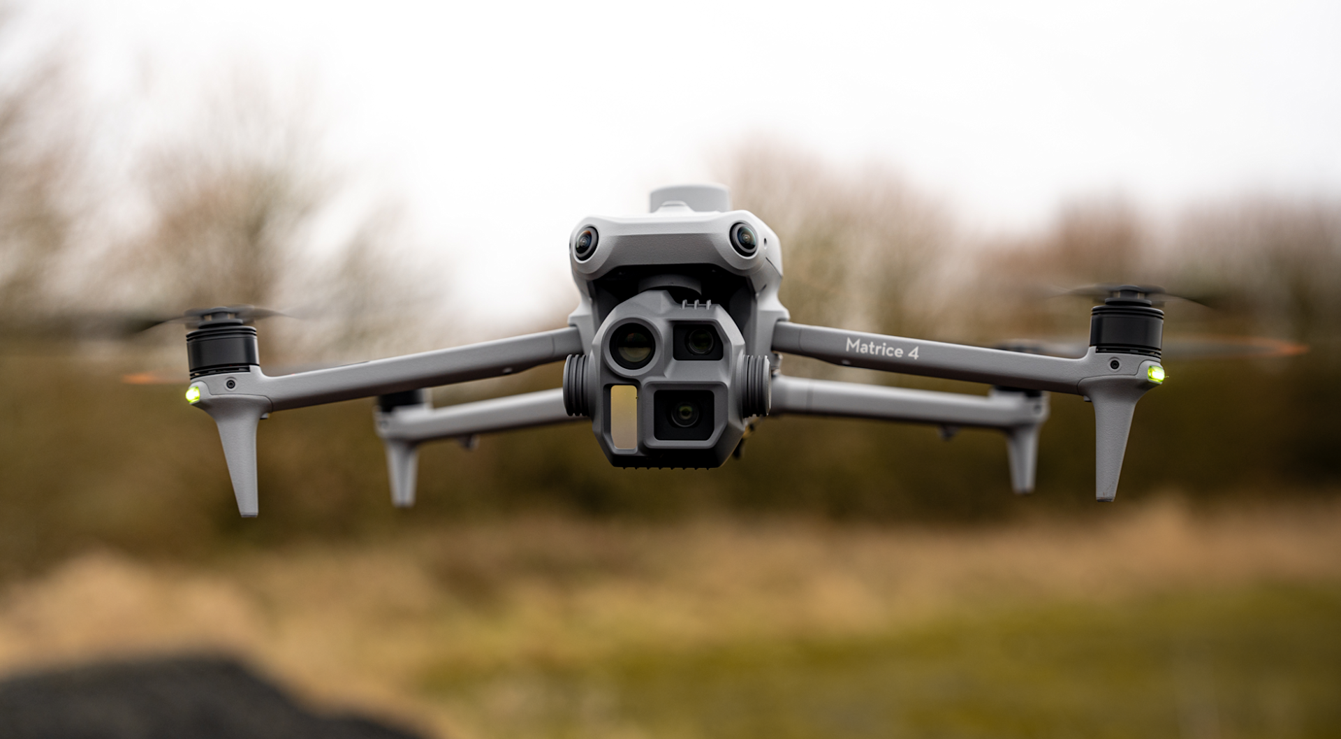
Iprosurv drone training M400 LiDAR training

Advanced Flying and Mapping Techniques

Develop advanced drone flying and aerial surveying skills with practical, instructor-led training. Learn professional data capture, mapping techniques and workflows that turn drone imagery into valuable survey outputs.

Not sure what you need?

Tell us what you are trying to achieve and we will recommend the right service, training or equipment.