Drone training & digital surveying
Anglian Water is embracing technology-led solutions.
From A2 CofC and GVC qualifications to water sampling, photogrammetry and LiDAR mapping: how one training journey connects flying skills with usable infrastructure information.
Beyond the drone
Flying is only the beginning. What comes next?
Anglian Water's progression shows why a working drone capability depends on people, methods and information, not aircraft alone.
Water companies manage treatment works, watercourses and extensive networks of infrastructure. Collecting reliable information about those assets supports inspection, maintenance and environmental responsibilities. Drones can help, but a photograph or point cloud is useful only when it answers a specific question.
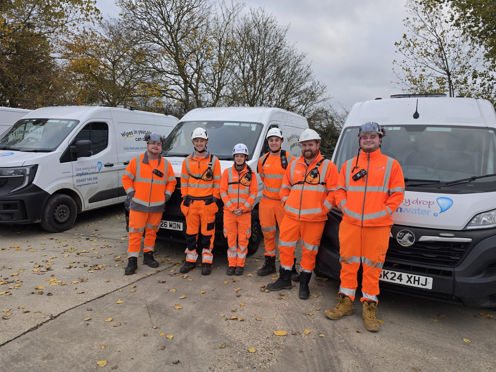
Anglian Water began its journey with Iprosurv's Combined A2 Certificate of Competency (A2 CofC) and General Visual Line of Sight Certificate (GVC) programme. Its team then explored drone-based water sampling, before progressing to specialist survey training at its own location in Cambridge in November 2026.
The latest stage introduced automated flight planning, photogrammetry, LiDAR mapping and survey data processing. The group worked with the DJI Matrice 4E, DJI Matrice 400 with Zenmuse L3 LiDAR, DJI D-RTK 3 GNSS station, DJI Terra and gNext Labs, using material relevant to their own assets.
The transferable lesson is simple: train the people, choose a method for the task, and make sure the resulting information can be understood and used.
01
Start with safe operations
Qualifications, planning and supervised flying form a foundation. More demanding applications need additional skills.
02
Choose technology with purpose
Camera mapping, laser scanning and GNSS positioning solve different parts of a survey requirement.
03
Make the output useful
A good data workflow leads to information that colleagues can review, check and use for decisions.
Qualifications are the foundation
From learning to fly to understanding the application.
An organisation introducing drones needs safe operating practices before it can expect consistent results from specialist equipment. Anglian Water's development followed that principle, building from pilot training towards application-specific skills.
A qualification is a start. Not the final capability.
The A2 CofC and GVC address remote pilot knowledge and competency in their respective regulatory contexts. They are not, by themselves, an operational authorisation for every mission or evidence of competence in specialist surveying.
In the initial Iprosurv programme, Anglian Water learners completed theory and practical assessments. Subsequent water-sampling familiarisation explored how a drone and specialist payload might complement conventional environmental monitoring.
Build the basics
Plan, assess risk and fly deliberately.
Flight planning, site checks, airspace awareness and emergency procedures underpin repeatable work. A qualified pilot must still follow the rules and authorisation applicable to the actual operation.
Apply the skill
Connect the flight to a task.
Water sampling changes the conversation. Where is a suitable collection point? How can access risks be managed? What sampling method and specialist procedures are required? The flying is a means to an environmental objective.
Develop the next capability
Move into mapping and data workflows.
Cambridge training added automated survey missions, sensor selection and processing. Learners began connecting the way a dataset is captured with the information an asset team could eventually use.
One question to ask first
Before buying another aircraft, identify the task your team needs to perform and which skills, procedures and permissions are missing. That produces a more useful training plan than choosing equipment on specifications alone.
Match the sensor to the question
Three tools, three different roles.
The Cambridge sessions used two enterprise aircraft and a positioning station. Each serves a different purpose within a survey workflow. Understanding those differences matters more than the size of the equipment.
DJI Matrice 4E
Photogrammetry reconstructs a scene from overlapping photographs. Automated routes help pilots capture consistent coverage for orthomosaics and 3D models. Flight height, overlap and camera geometry all influence what can be reconstructed.
Ground sampling distance (GSD) describes the approximate ground area represented by one image pixel. It indicates image detail, not verified survey accuracy.
Do you need a visual record, a measurable model or both?
Matrice 400 with Zenmuse L3
LiDAR uses laser returns to measure the surrounding scene. The results form a point cloud: millions of three-dimensional positions describing terrain and features. Different returns can help with understanding ground beneath some vegetation.
The Anglian Water team explored how LiDAR and photographic capture differ, and why terrain, vegetation, access and the intended output affect the method chosen.
Is the shape of the land more important than its appearance?
DJI D-RTK 3 station
A GNSS reference station supports positioning workflows, including real-time kinematic (RTK) corrections. Better positioning information can help locate captured data, but it does not automatically establish the accuracy of a completed map or model.
For measured work, define a coordinate system and arrange appropriate ground control or independent checkpoints. Resolution, aircraft positioning and verified output accuracy are different things.
How will the delivered result be independently checked?
Choose backwards
from the output.
Agree the information needed, then select the sensor, flight method, positioning, processing and quality checks. A higher-priced drone does not remove the need to specify and validate the result.
When the aircraft lands
Data collection is the start.
Interpretation creates value.
Using DJI Terra, gNext Labs and other specialist software, the Anglian Water learners explored how imagery and LiDAR measurements can become navigable maps, models and survey datasets.
DJI Terra supports reconstruction and point-cloud processing. Platforms such as gNext Labs help users visualise and review digital representations of assets. Processing software and inspection platforms can work at different stages of the information chain.
The team worked with data relating to their own assets. That matters: colleagues can question what a feature represents, whether it is complete and which output would help them in their real role.
Can the person receiving the model answer a useful question with it?
Understand the deliverables
Different outputs answer different questions.
Orthomosaic and textured 3D model
An orthomosaic combines corrected aerial photographs into a plan-style image. A textured model presents the site in three dimensions. Both can support visual review, provided capture coverage and limitations are understood.
LiDAR point cloud
A point cloud describes three-dimensional surfaces with measured positions. Classification and further processing can separate likely ground points from vegetation or structures. It is data to interpret, not a finished engineering conclusion.
DSM and DTM
A digital surface model (DSM) includes the top of visible features, such as trees and buildings. A digital terrain model (DTM) represents an estimated bare-earth surface. The distinction is important for drainage and terrain questions.
Hypothetical worked example
A treatment-works manager wants to understand how surface water might move around a site. An orthomosaic gives visual context; a suitable DTM can inform terrain assessment; checkpoints help test positional accuracy. A drainage specialist would still need to assess the findings. This illustrates a possible workflow, not a claimed Anglian Water project result.
Put it into practice
Six questions before introducing drone surveying.
Use these prompts with your operations, environment and asset teams before deciding which aircraft, training or software to invest in.
-
What decision needs support?
Define the operational question: inspection planning, understanding terrain, recording a condition or comparing change.
-
Who will use the output?
Ask which team needs the information and whether it can review the proposed maps or models using its existing systems.
-
What detail and accuracy are required?
Separate pixel size from position and measurement accuracy. Write down the needed specification and method of checking it.
-
Which capture method fits?
Compare imagery, LiDAR and any existing ground survey. Consider site access, vegetation, lighting and the task itself.
-
What skills and permissions are needed?
Review pilot competence, specialist training, operating procedures, airspace and the authorisation for the proposed mission.
-
How will results be used?
Agree formats, review responsibility, validation, limitations and whether the dataset will become part of an ongoing asset record.
Try this 15-minute exercise.
Choose one real asset and finish this sentence: "Our team needs to understand [question], so [user] can make [decision]. The most useful output is [format], verified by [check]."
If you cannot complete the sentence, clarify the requirement before committing to a drone or software package.
Continue your development
Build the skills around your organisation's needs.
Anglian Water's journey illustrates a progressive approach: understand safe operations, explore a real application and develop the ability to use the data. Iprosurv supports individuals and organisations across the UK and Europe with training and advice tailored to their intended work.
Start with qualifications
Explore A2 CofC and GVC training relevant to the aircraft and operating context. Qualifications are important, but the planned operation must also meet applicable aviation requirements.
Explore drone trainingDevelop mapping skills
Learn about survey mission planning, photogrammetric capture and data processing. Discuss specialist LiDAR familiarisation where the application calls for it.
Explore mapping developmentPlan bespoke team training
Bring us your operational challenges, assets and existing equipment. We can discuss training at your location and a practical development pathway for your people.
Discuss organisational trainingWhere could drone technology help your organisation?
Start with the outcome you want, not a product catalogue. We can discuss an appropriate training route, specialist support and the skills needed to evaluate your options.
Read more on Iprosurv Insights
For a related lesson in defining client requirements, explore our article on turning a drone request into a clear brief.
You have the drone. Are you ready to advise the client?Explore the technology
Official information on mapping tools, aircraft and the UK qualification framework.