Progress Monitoring
Construction | Site Progress Monitoring What if you could revisit every stage of a construction…
|
Construction & Built Environment | Topographical Surveys & Earthworks Mapping
Understand the ground before you build.
|
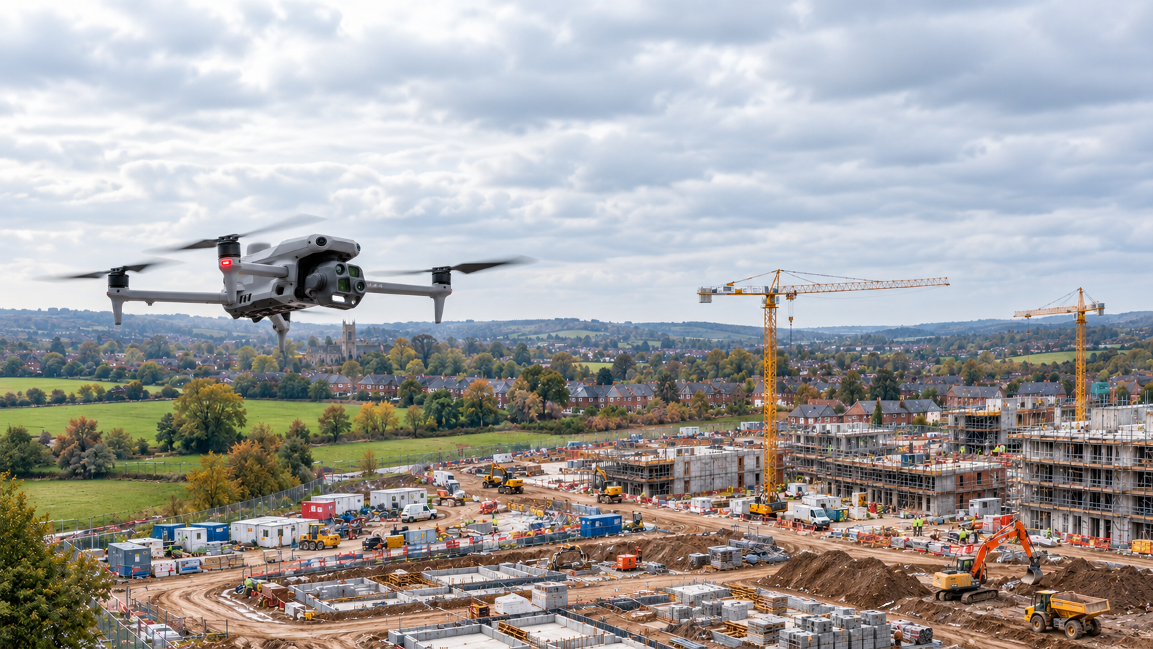
Aerial surveying provides an overview of terrain, excavation levels and earthworks before structural construction begins. |
The Challenge
What lies on the ground determines what can happen above it.
Construction sites are rarely uniform.
Survey teams need dependable measurements
Traditional surveying methods remain essential,
Drone-based data capture complements these |
Questions That Matter
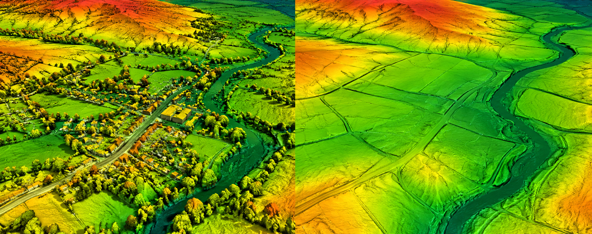
What are the existing ground levels?
Establish terrain elevations, slopes and contours for project planning and engineering assessment.
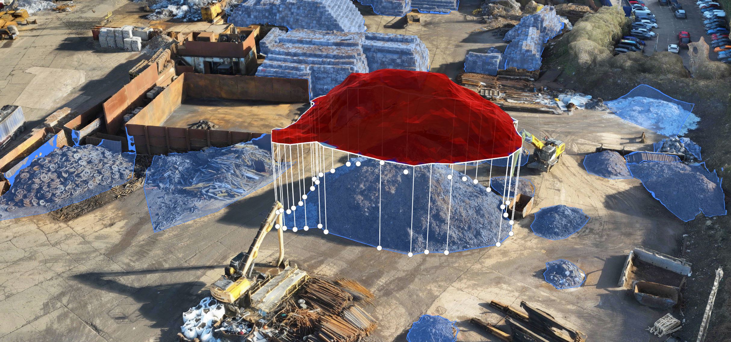
How much material needs moving?
Compare existing and proposed surfaces to estimate cut-and-fill requirements and earthwork quantities.
How is the site changing?
Compare successive surveys to understand excavation, filling and changes to site topography.
Can the information be shared?
Produce spatial datasets suitable for review by surveyors, engineers and construction teams. |
Drone technology supports both initial site
investigation and repeat surveying as
excavation, filling and construction progress.
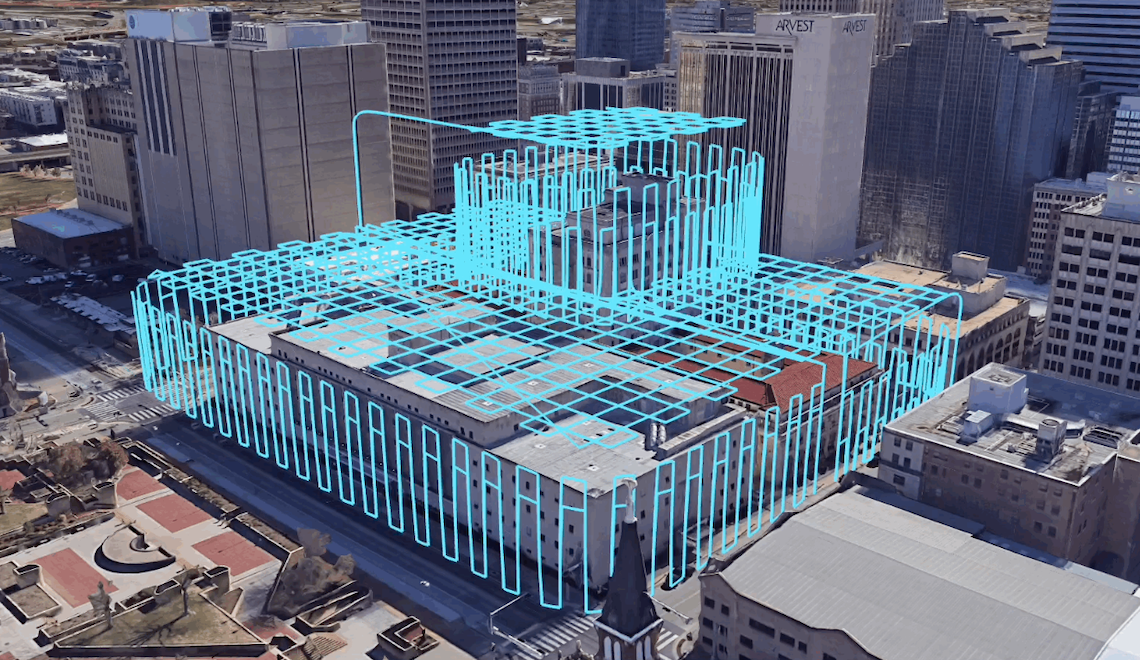
Capture detailed aerial data to support
orthomosaics, elevation models and contour
mapping. Surveyors can use these outputs,
alongside verified survey control, to
understand site levels, slopes and
existing surface features.
Compare surveyed surfaces with design
levels or previous surveys to estimate
material excavation and fill volumes.
These measurements support earthworks
planning, progress checks and
quantity reconciliation.
Conduct repeat surveys to measure
changes in excavated areas, embankments,
platforms and prepared ground.
Dated surface models provide a basis
for comparing quantities and recording
how work develops over time.
Generate point clouds, orthomosaics,
terrain models and georeferenced
datasets for use in compatible CAD,
GIS and design workflows, subject
to project specifications and
appropriate data validation.
Effective drone surveying combines a planned
data capture method, suitable control and checks,
and appropriate processing.
Define the required outputs and accuracy.
Establish suitable survey control and
independent checkpoints, then plan
the photogrammetry or LiDAR mission.
Collect imagery or LiDAR measurements
using appropriate aircraft and sensors.
Process the data into mapped imagery,
point clouds and elevation models.
Check results against independent
survey observations and deliver
the agreed mapping, surfaces and
quantities to the project team.
|
Technology in Action
Different technologies measure
|
Survey Technology Explained
Photogrammetry Overlapping images produce orthomosaics, dense point clouds and textured models of visible site surfaces.
LiDAR Scanning Laser measurements support detailed 3D mapping, terrain representation and point-cloud classification.
RTK and PPK Positioning Corrected positioning supports georeferencing, used alongside appropriate survey verification.
CAD and GIS Outputs Surfaces, contours, point clouds and mapped imagery support compatible engineering and planning workflows. |
Why It Matters
Topographical and earthworks data supports
project planning, quantity estimation and
the measurement of physical changes
throughout construction.
Detailed terrain information supports
design discussions, site preparation
and the identification of ground
constraints before work begins.
Repeatable surface measurements can
support cut-and-fill estimates,
progress checks and reconciliation
of earthworks quantities.
Dated orthomosaics and terrain models
provide a measurable record of
site changes that can be reviewed
by project stakeholders.
|
High-resolution imagery is not
|
What should construction teams consider?
|
|
Measure your site with
|
Whether you need professional drone |
Whatever you need drones to do, there are three ways to work with Iprosurv.
Our pilots carry out the survey or inspection and deliver the data and reports you need.
Accredited courses that give you and your team the skills to fly safely and legally.
The drones, sensors and software to run your own operations, with expert advice.
Tell us what you are trying to achieve and we will recommend the right service, training or equipment.