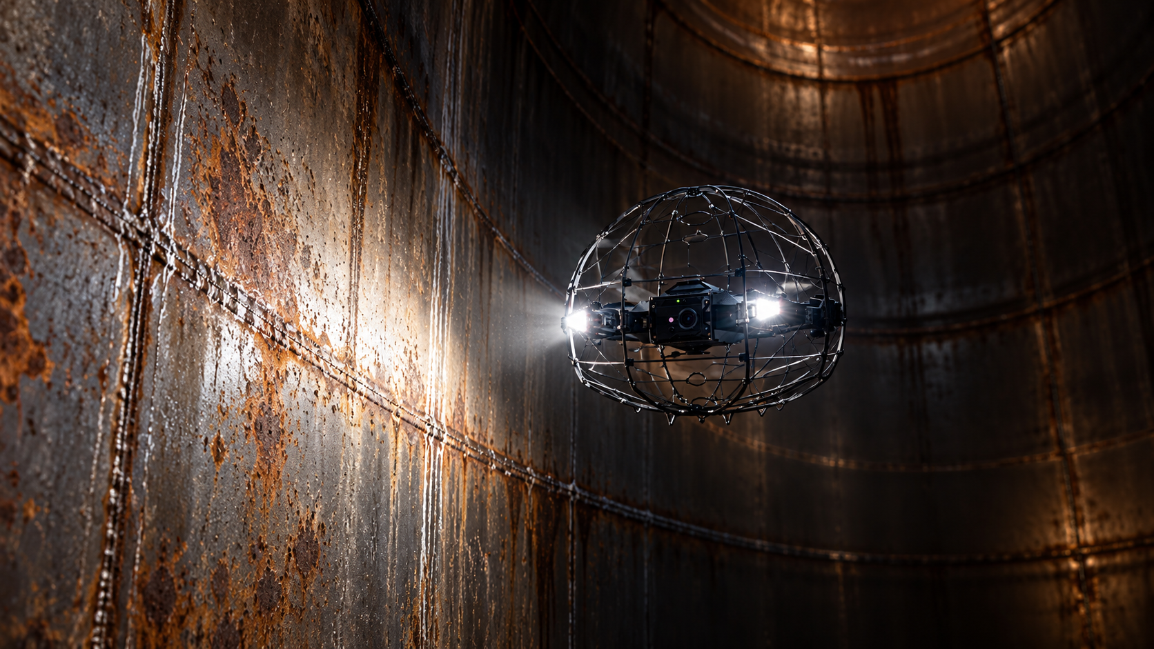
Tanks, Vessels & Confined Space Inspections
Mining, Quarrying & Confined Spaces | Internal Inspections Inspect the inside without unnecessarily sending people…
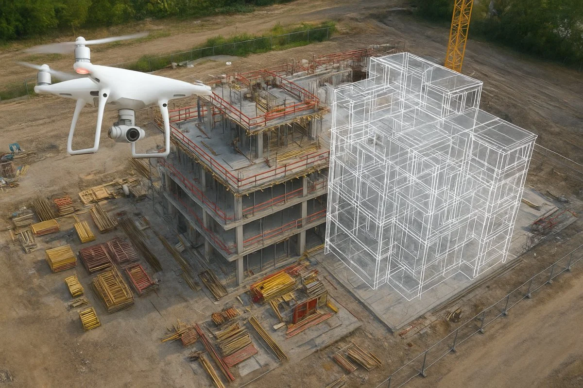
Imagine being able to inspect a building,
examine a construction project or measure
a landscape from your computer, using
a detailed digital representation
of the real environment.
Drone photogrammetry and LiDAR are making
3D modelling more accessible, providing
organisations with valuable spatial
information for planning, inspection,
collaboration and asset management.
Buildings, infrastructure and
construction sites rarely remain
unchanged. Assets are extended,
landscapes altered and projects
developed over time.
Traditional plans and isolated
photographs may not provide the
complete picture. Measurements
can be scattered across separate
documents, and stakeholders may
be working from different versions
of the same information.
A carefully produced 3D model
provides a spatially connected
representation of the site,
allowing teams to examine
the environment and understand
the relationships between features.
Create a digital record of
visible existing conditions.
Extract suitable distances,
areas, elevations and volumes
from appropriately controlled data.
Compare survey datasets
collected at different stages
of a project.
Share visual models with
engineers, clients and
project stakeholders.
From major construction sites to
historic buildings, drone-generated
spatial data is helping organisations
document real environments and
develop increasingly sophisticated
digital workflows.
Repeated drone surveys can document
construction progress and produce
updated 3D site models. These can
be compared with previous surveys
or design information to support
planning, communication and
identification of differences
requiring investigation.
Photogrammetry and LiDAR can create
digital representations of bridges,
industrial structures, transport
corridors and utilities. Models
help teams visualise asset geometry,
plan inspections and maintain
spatial records.
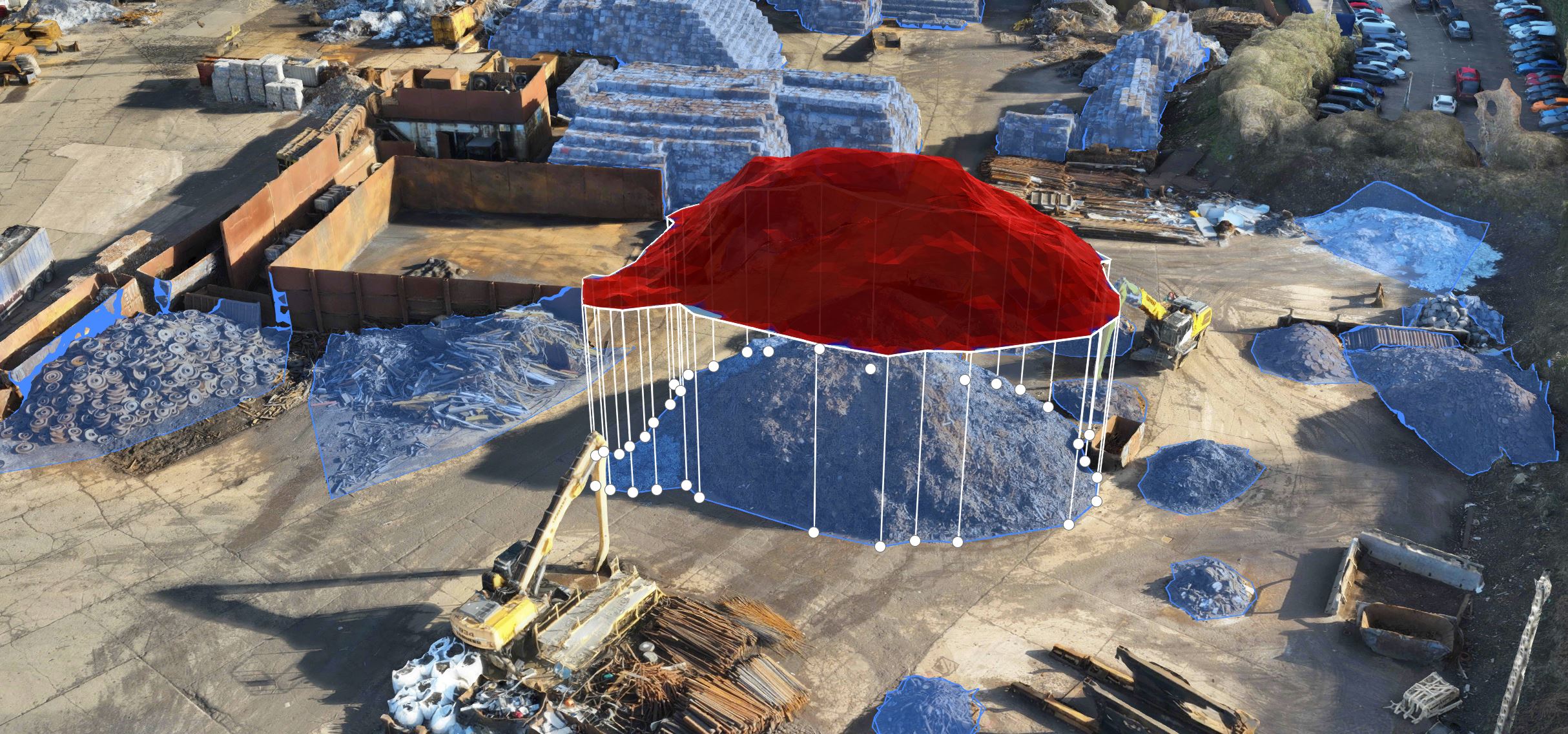
Drone mapping provides terrain
information for engineering,
land management and development.
Suitable datasets can support
elevation analysis, stockpile
measurements, earthworks volumes
and planning activities.
Detailed digital models can
document building exteriors,
complex roof structures and
heritage features. These records
support conservation planning,
condition review and communication
between specialists.
A drone-generated 3D model begins
with carefully planned data capture.
The information is processed and
checked before it becomes a useful
digital resource.
Collect overlapping imagery
or LiDAR measurements using
an appropriate flight plan
and survey methodology.
Process the captured information
into point clouds, textured
meshes, terrain models or
other suitable deliverables.
Review, measure, compare and
integrate the outputs with
relevant CAD, GIS or asset
information systems.
Although the terms are often
used interchangeably, they
describe different levels
of digital capability.
3D models represent
the physical shape and visible
features of a location or asset.
They can be used to inspect
surfaces, take suitable measurements
and visualise complex environments.
Digital twins take
this further by connecting a
digital representation to
relevant information about
the physical asset, potentially
including inspection records,
maintenance data and
operational information.
Consider a bridge. A drone-generated
model can show its structure
and visible condition. An integrated
digital twin could also connect
that representation to inspection
histories, structural information
and ongoing asset records.
The distinction matters because
the intended outcome determines
how information should be captured,
processed and managed.
Explore detailed spatial
representations of buildings,
infrastructure and landscapes,
helping teams understand
conditions and geometry.
Repeat surveys and comparable
datasets can reveal differences
between project stages and
support progress monitoring.
Share suitable digital models
with stakeholders, reducing
reliance on disconnected
photographs and drawings.
Capturing hundreds of photographs
does not automatically produce
an accurate or complete model.
Successful projects begin by
understanding what information
the organisation actually needs.
A model intended for visual
presentation will not necessarily
require the same data quality
as one supporting engineering
measurements.
Photogrammetry uses overlapping
photographs to reconstruct
visible surfaces, while LiDAR
measures distances using
laser pulses to generate
three-dimensional point data.
Specialist software such as
DJI Terra, Pix4D and other
processing platforms can
transform captured data into
useful outputs.
For digital twin development,
integration with other asset
information and ongoing data
management is equally important.
Is the project for
visualisation, measurement,
engineering or asset management?
Select suitable photogrammetry,
LiDAR or combined workflows
for the site and objectives.
Consider survey control,
independent checks,
coverage and required
confidence in measurements.
Ensure the outputs can
be used within the required
CAD, GIS, BIM or asset
management environment.
Whatever you need drones to do, there are three ways to work with Iprosurv.
Our pilots carry out the survey or inspection and deliver the data and reports you need.
Accredited courses that give you and your team the skills to fly safely and legally.
The drones, sensors and software to run your own operations, with expert advice.
Tell us what you are trying to achieve and we will recommend the right service, training or equipment.