
The Iprosurv 2 Day Mapping and Photogrammetry Course is designed for enthusiasts and professionals embarking on a photogrammetry journey, equipped with all the essential tools and knowledge to effectively collect and analyze drone data.
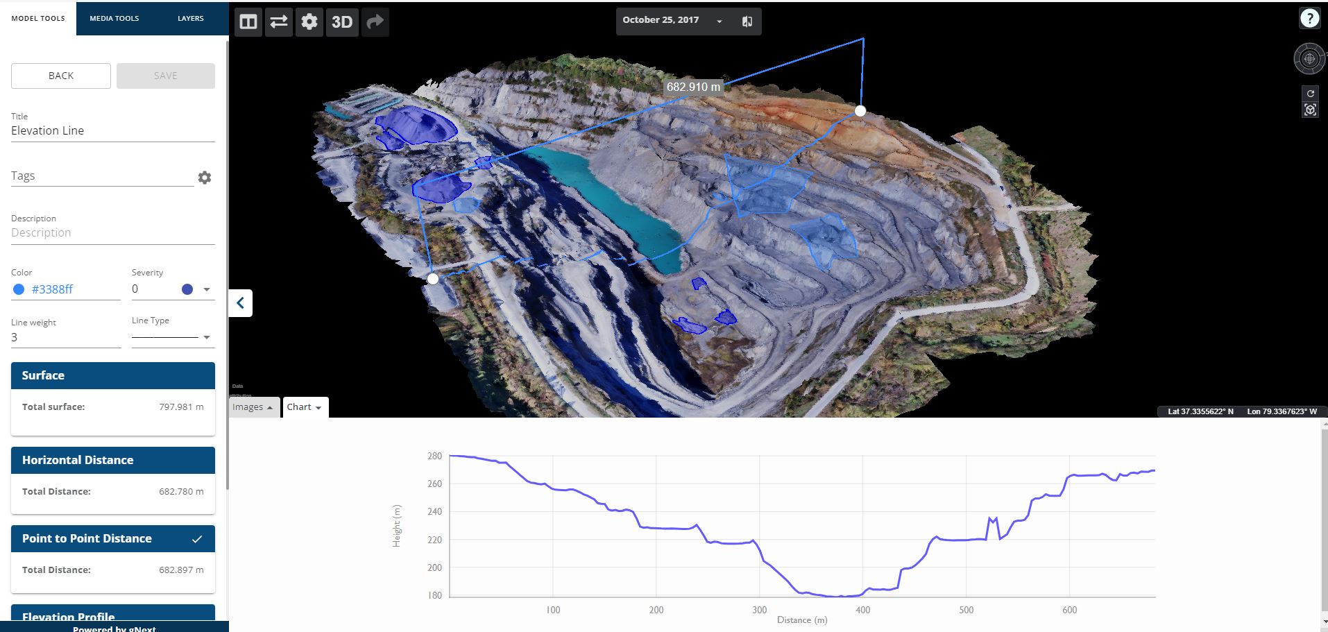
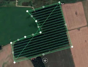
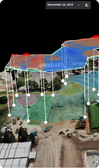
This comprehensive package includes advanced training that covers 2D topograhical photogrammetry and basic mapping projects. Participants will learn to create detailed 2d topographical surveys and perform advanced analytics.
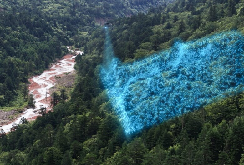
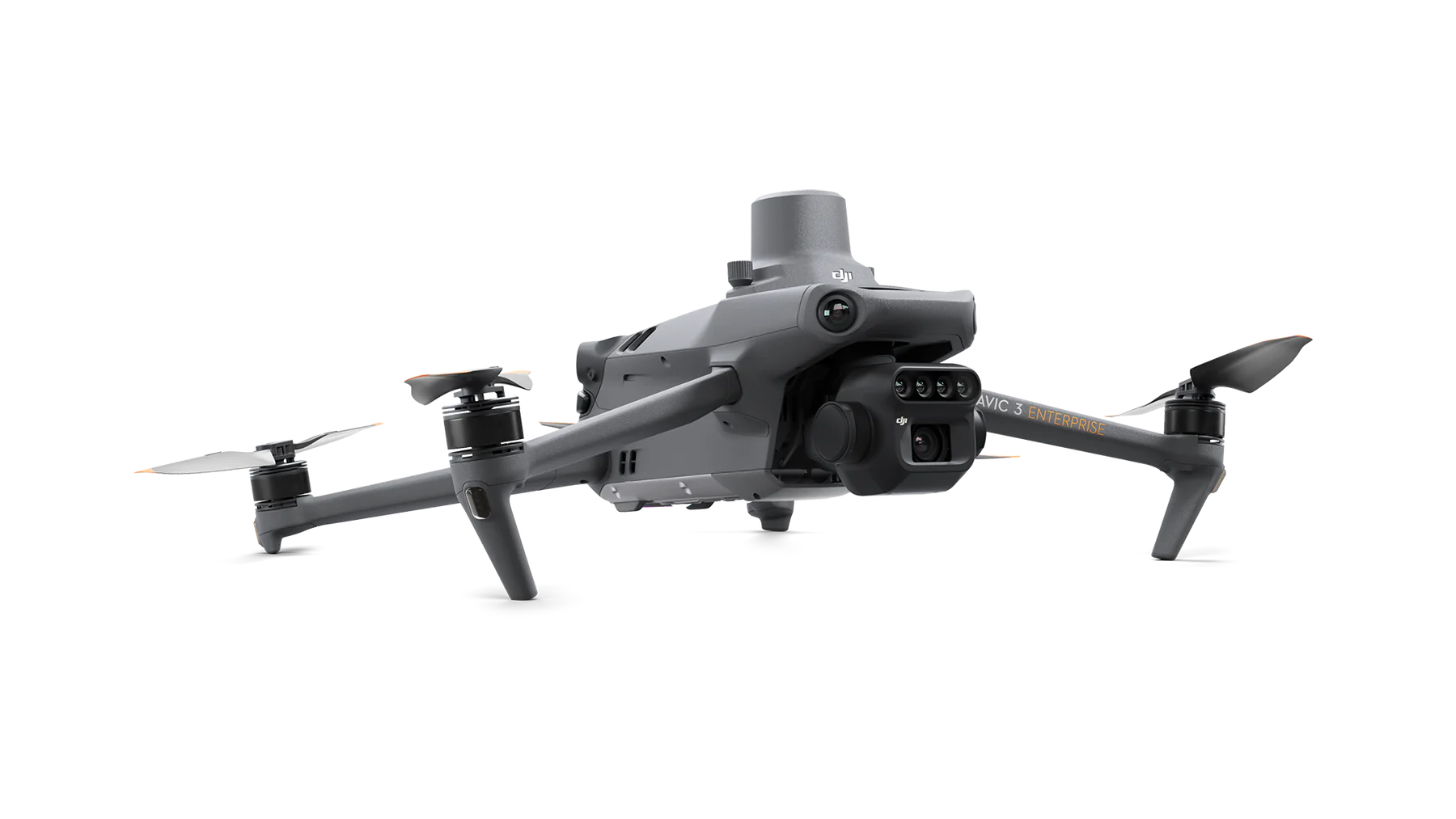
Additionally, the course provides an introduction to advanced automated flight planning and data processing using state-of-the-art software, ensuring that learners gain hands-on experience with the latest technology in the field.
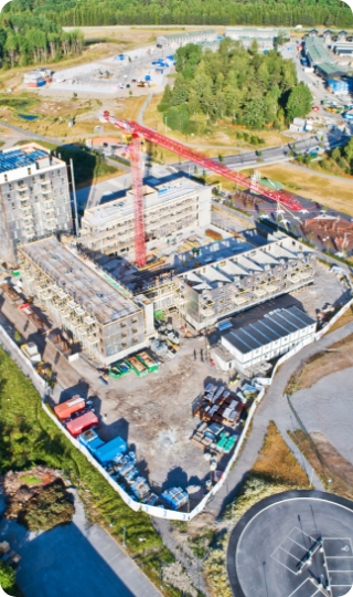
This course is a blended combination of theoretical knowledge and practical flight training.
Ideal for those looking to deepen their understanding and skills in drone-based surveying and modeling, this package is a gateway to mastering photogrammetry and its applications.