
Introduction
Drones have emerged as indispensable tools in the field of forestry, revolutionizing various aspects of forest management and conservation.
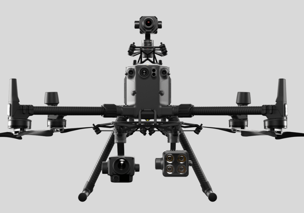
In forestry management, drones equipped with advanced sensors and imaging technology enable efficient monitoring of forested areas. They provide real-time data on tree health, density, and potential threats such as pests or diseases, allowing forest managers to make informed decisions for optimal resource allocation and intervention strategies.
In reforestation projects, drones play a crucial role in seed dispersal, forestation planning, and monitoring seedling growth, enhancing the success rate of tree planting initiatives. Moreover, drones prove invaluable in assessing windblown forestry damage by swiftly surveying large, inaccessible areas affected by storms or natural disasters.
This capability enables rapid response and aids in devising effective restoration plans. Overall, the use of drones in forestry exemplifies their versatility and efficiency in promoting sustainable forest management practices and combating environmental challenges.

Re-Forestation Projects
Drones play a vital role in reforestation projects, transforming the monitoring and management of seedling growth. These unmanned aerial vehicles utilize advanced technologies to enhance the entire reforestation process.
They efficiently disperse seeds over large areas with precision, ensuring optimal distribution. Drones monitor seedling development through high-resolution images and sensors that assess soil moisture and nutrient levels.
Additionally, they assist in fire break monitoring, swiftly identifying threats to prevent wildfires. The versatility of drones extends to autonomous missions, covering expansive areas effortlessly with advanced GPS and navigation systems.
They contribute to stand delineation by creating detailed three-dimensional maps using LiDAR technology.
Drones also significantly aid carbon inventory efforts by collecting data on biomass and carbon sequestration potential, enhancing the efficiency and accuracy of reforestation initiatives. In essence, drones elevate the effectiveness of reforestation projects by autonomously monitoring, mapping, and mitigating environmental challenges.
Forestry management
Drones are spearheading a transformative era in forestry management, showcasing their prowess in optimizing efficiency, safety, and cost-effectiveness.
These aerial devices are proving instrumental in various aspects, including health and safety, where they dramatically reduce manual labor in challenging terrains, mitigating risks associated with hazardous conditions.
Furthermore, drones excel in mapping expansive forested areas, providing high-resolution data crucial for forestry applications. Their real-time and accurate data delivery seamlessly integrates with Geographic Information Systems (GIS) and other software platforms, facilitating comprehensive analyses.
This integration proves invaluable in predicting forestry yields and streamlining the management of thinning operations. Beyond these applications, drones are extending their utility to essential tasks such as maintaining fire breaks and ensuring public access.
Equipped with advanced sensors and thermal imaging capabilities, drones monitor vast forested areas for potential fire risks, allowing for timely intervention. Simultaneously, they survey and assess public access routes within forests, capturing high-resolution images and generating detailed maps to identify optimal pathways while ensuring compliance with safety regulations.
This dual functionality underscores the versatility of drones, promoting sustainable forestry practices and enhancing overall ecosystem resilience.
Windblown Forestry
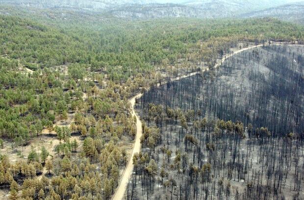
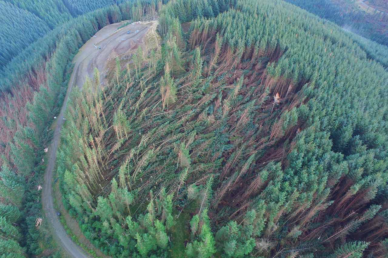
Drones play a pivotal role in windblown forestry management, offering numerous advantages in terms of efficiency and safety. In the aftermath of storms or strong winds, unstable blown-down trees pose significant dangers to ground crews.
Drones equipped with high-resolution cameras and sensors can swiftly survey vast areas, identifying potential hazards such as unstable trees, falling branches, and trip hazards. This not only minimizes the risk to human crews but also expedites the assessment process.
Drones can rapidly gather crucial data on the extent of damage, facilitating prompt decision-making for disposal and re-planting strategies. Their speed and agility enable a timely response, aiding in the restoration of affected areas.
By providing a bird’s-eye view, drones enhance the overall safety and efficiency of windblown forestry management, ensuring a more effective and informed approach to mitigating risks and promoting sustainable reforestation practices.
Forest Fire Detection and Post-Fire Mapping
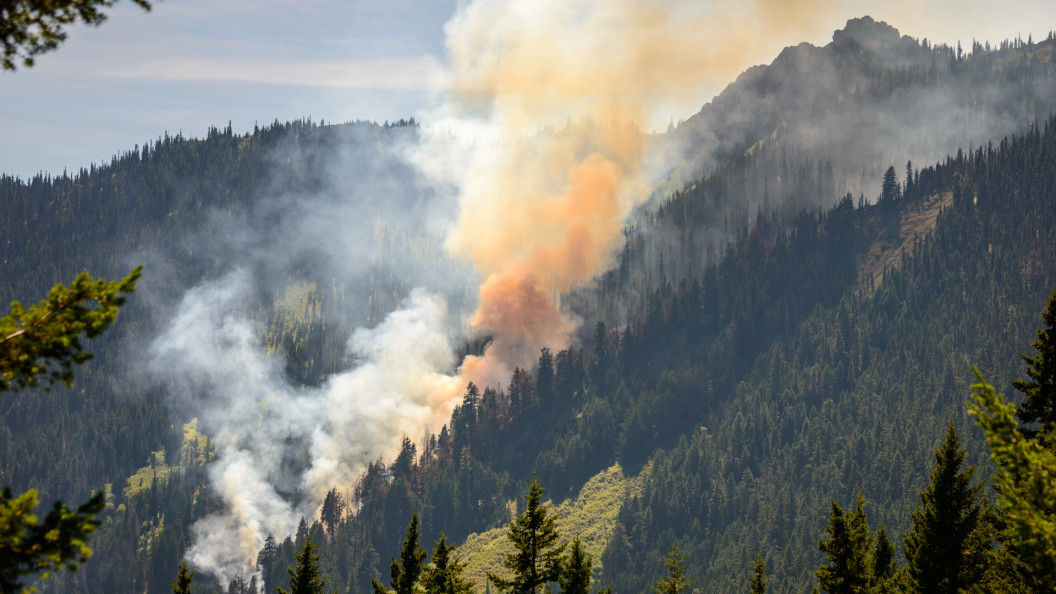
Drones have emerged as invaluable tools in the realm of forest fire management, offering innovative solutions for both detection and post-fire mapping. Equipped with advanced sensors and thermal imaging technology, drones can efficiently survey vast forested areas, providing real-time data for early fire detection.
This capability allows authorities to respond swiftly, potentially preventing the escalation of wildfires. Additionally, drones play a crucial role in post-fire mapping by capturing high-resolution aerial imagery. This data aids in assessing the extent of the damage, understanding fire behavior patterns, and planning effective rehabilitation strategies.
The ability of drones to access hard-to-reach or hazardous areas ensures a comprehensive and accurate assessment, enabling a more informed and targeted response to forest fires. As technology continues to advance, the integration of drones in wildfire management promises to enhance overall efficiency and effectiveness in safeguarding ecosystems and communities.