Get a quote

3 Day Masterclass Drone Mapping, Surveying and Photogrammetry Course

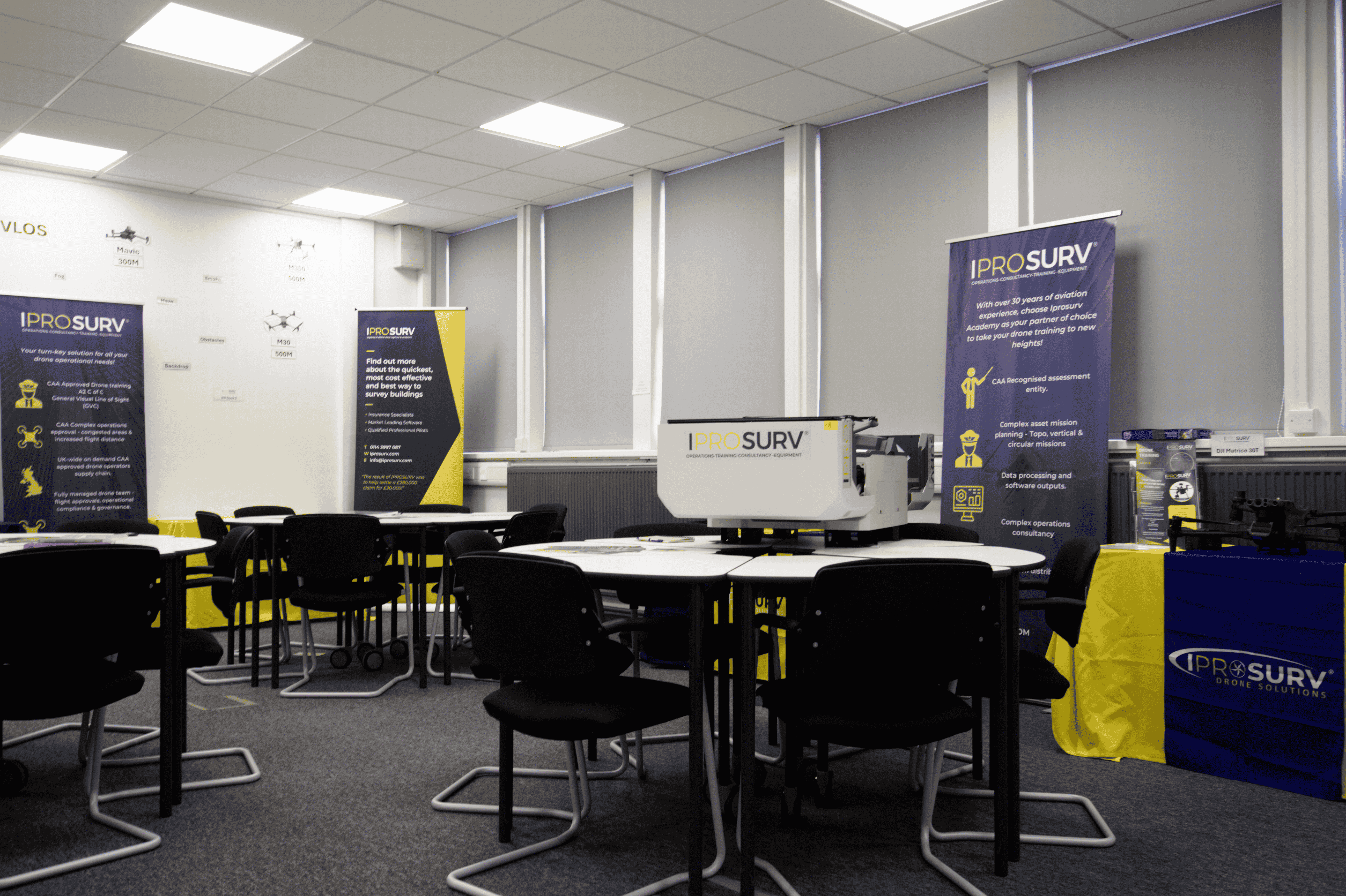
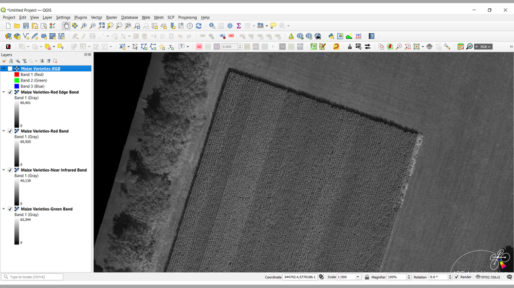
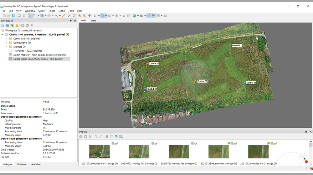
A masterclass is an advanced, intensive training experience led by an expert in the field, designed to impart specialised knowledge and practical skills. Our 3-Day Masterclass in Drone Mapping, Surveying, and Photogrammetry at Dearne Valley College, South Yorkshire, does precisely that, immersing participants in the technical and practical essentials required for professional drone mapping.

Course Highlights:

Fundamentals and Principles of Drone Aerial Imaging
  • Part 1: Core concepts of aerial imaging.
  • Part 2: Advanced imaging techniques for professional applications
  • Drone Flight and Sensor Planning: Develop flight and sensor strategies for optimal data quality.
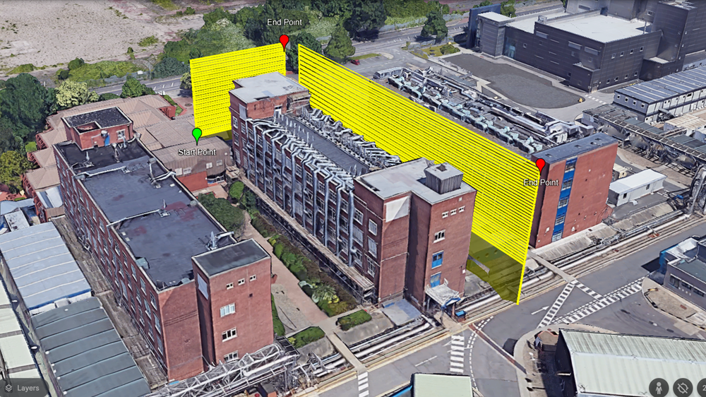
  • Drone Mapping Mission Planning: Master planning essentials for effective, high-yield mapping missions.
  • Practical Exercises: Hands-on sessions in our dedicated flight area to apply theory in real-world conditions.
  • Imagery Collection Checks and Data Management: Ensure high data integrity and effective organisation.
  • Achieving ‘Survey-Compliant’ Geospatial Accuracy: Deliver geospatial data that meets professional standards.

Led by an industry expert with 30 years of experience, this masterclass offers premium instruction, facilities, and real-world practice, empowering drone pilots to provide the high-quality geospatial deliverables that clients demand. Join us to gain specialised skills and a competitive edge in the expanding drone mapping and surveying market.

£495.00 Exc VAT

Let’s Answer Your Questions

What drones are covered?

Most of the popular drones are covered in the course if you dont see your drone or have any questions please feel free to email or call us to discuss.

  • DJI Phantom 3 Standard

  • DJI Phantom 3 Advanced

  • DJI Phantom 3 Pro

  • DJI Phantom 4 Standard

  • DJI Phantom 4 Advanced

  • DJI Phantom 4 Pro

  • DJI Phantom 4 Pro V2

  • DJI Phantom 4 Multispectral

  • DJI Phantom RTK

  • DJI Mavic Pro

  • DJI Mavic 2 Pro

  • DJI Mavic 2 Zoom

  • DJI Mavic 2 Enterprise

  • DJI Mavic 3 Enterprise

  • DJI Mavic 3 Multispectral

  • DJI Mavic Air 2 (Android Tablet/Phone Only)

  • DJI Air 2S (Android Tablet/Phone Only)

  • DJI Mini 2 (Android Tablet/Phone Only)

  • DJI Mini 3 (Android Tablet/Phone Only)

  • DJI Mini 3 Pro (Android Tablet/Phone Only)

  • DJI Inspire 1 (X3 or X5 cameras)

  • DJI Inspire 2 (X4S or X5S cameras)

  • DJI Matrice 100 (X3 camera)

  • DJI Matrice 200/210 (X4S or X5S cameras)

  • DJI Matrice M300/M350 (P1 camera)

  • DJI Matrice M30

  • Autel Evo II Series

  • Autel Evo Pro Series

  • Autel Evo Max 4T

  • Parrot Anafi

  • Parrot Anafi AI

  • Yuneec H520E (E90X camera)

  • Yuneec H850/H850-RTK (E90X camera)

  • AgEagle eBee/eBee X/eBee Geo

  • Wingtra One (Gen I/Gen II)

Will there be practical learning?

Yes, the course includes practical flying elements; however, these are naturally weather-dependent. Our facility features on-site flying locations, eliminating time wasted on travel between the classroom and flight area. This allows us to take full advantage of any breaks in adverse weather, ensuring you get the maximum practical experience.

Is there accomodation nearby?

Accommodation is available nearby, and we can provide details once your place on the course is confirmed. You’ll need to arrange your own accommodation and manage your travel to the Iprosurv training venue.

Is wifi available?

Yes wifi is available on in the course location and you will have free access to the wifi network.

Is there parking on-site?

There is plenty of secure parking on-site.

Is there wheelchair access?

The Iprosurv training location has full disability access including parking, WC, Classroom, and flight training areas.

SIGN UP FOR NEWS AND OFFERS