2 Day Mapping,Surveying and Photogrammetry
Elevate Your Drone Skills with Iprosurv’s Comprehensive 2-Day Course Mapping Course
Are you a commercial drone operator seeking to enhance your mapping and surveying capabilities? Look no further than Iprosurv’s immersive 2-day course, designed to equip you with the essential knowledge and skills needed to excel in the realm of aerial drone imaging for mapping and surveying applications.
Unlocking the Potential of Drone-Based Mapping
Our comprehensive course delves deep into the core principles of drone-based mapping, offering intermediate learning for UAS pilots aiming to expand their service offerings. From understanding drone mapping theory to mastering flight planning software, participants will gain invaluable insights and practical training to elevate their expertise.
Mastering Mapping Theory and Photogrammetry
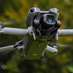
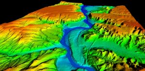
Drone mapping theory serves as the foundation for creating accurate and detailed maps essential for various applications, including land surveying and environmental monitoring. Participants will also receive an introduction to photogrammetry, learning how to effectively capture and process aerial images to create valuable three-dimensional models.
Practical Insights and Hands-On Training
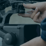
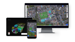
Familiarity with imaging formats, camera settings, and flight planning software is crucial for optimal data acquisition and mission execution. Our course offers hands-on training, ensuring participants are equipped with the skills needed to provide clients with comprehensive and reliable data for diverse applications such as construction site monitoring and infrastructure inspection.
Mastery of Flight Planning Software
In today’s automated mission planning landscape, mastery of flight planning software is indispensable. Participants will be introduced to cutting-edge tools such as Drone Harmony, Drone Deploy, and Pix4D, enabling them to craft and execute automated flight plans with precision and efficiency.
Immersive Learning Experience
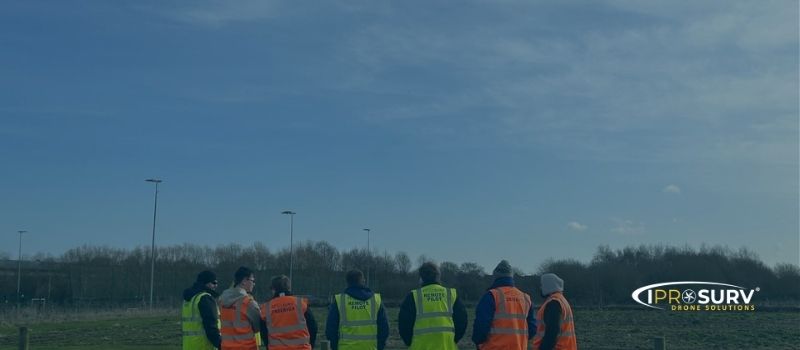
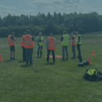
Embark on an enriching journey into the realms of Mapping, Surveying, and Photogrammetry with Iprosurv’s exceptional course. Our meticulously crafted curriculum blends theoretical knowledge with practical training, ensuring participants gain a thorough understanding of essential concepts while honing their skills in hands on teaching.
Weekend Courses
For your conveniance our courses are held on weekends at our South Yorkshire location.
Courses held at our offices in South Yorkshire
Enroll Today
Spaces are limited, so don’t delay! Enroll in Iprosurv’s 2-day mapping course today and unlock the full potential of drone-based mapping for your business or career.
Visit our website for more information and secure your spot now.