
Overview
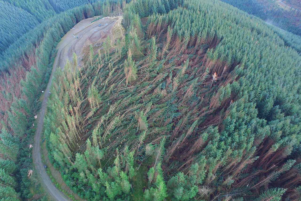
In November 2021, Storm Arwen caused catastrophic wind damage across parts of the UK, with gusts surpassing 100 mph and devastating thousands of hectares of forestland, primarily in Northumberland, the Scottish Borders, and Cumbria. Over 1 million metric tonnes of trees were uprooted, impacting approximately 4,000 hectares of land and felling over 8 million trees—about one-third of the UK’s annual national felling quota. Forestry managers were faced with the monumental task of assessing, clearing, and replanting damaged areas.
Iprosurv, a leading drone service provider, was enlisted to help a client in the aftermath of this disaster, particularly focusing on the assessment and removal of windblown pine trees. This case study explores how drone technology provided by Iprosurv enabled swift, accurate, and safe data collection that informed rapid decision-making and facilitated the efficient clean-up and restoration process.
Challanges
Windblown areas present unique dangers, with fallen trees blocking access routes and partially uprooted trees weighing over 3.5 tonnes posing extreme hazards to on-site workers. These unstable trees could fall at any time, making ground assessments perilous.
Traditional assessment methods, such as helicopters, were costly and time-consuming, taking days to arrange and process. The urgent need to safely assess and manage large swathes of damaged forestland demanded a faster, safer, and more efficient solution.
Implementation of Drone Technology
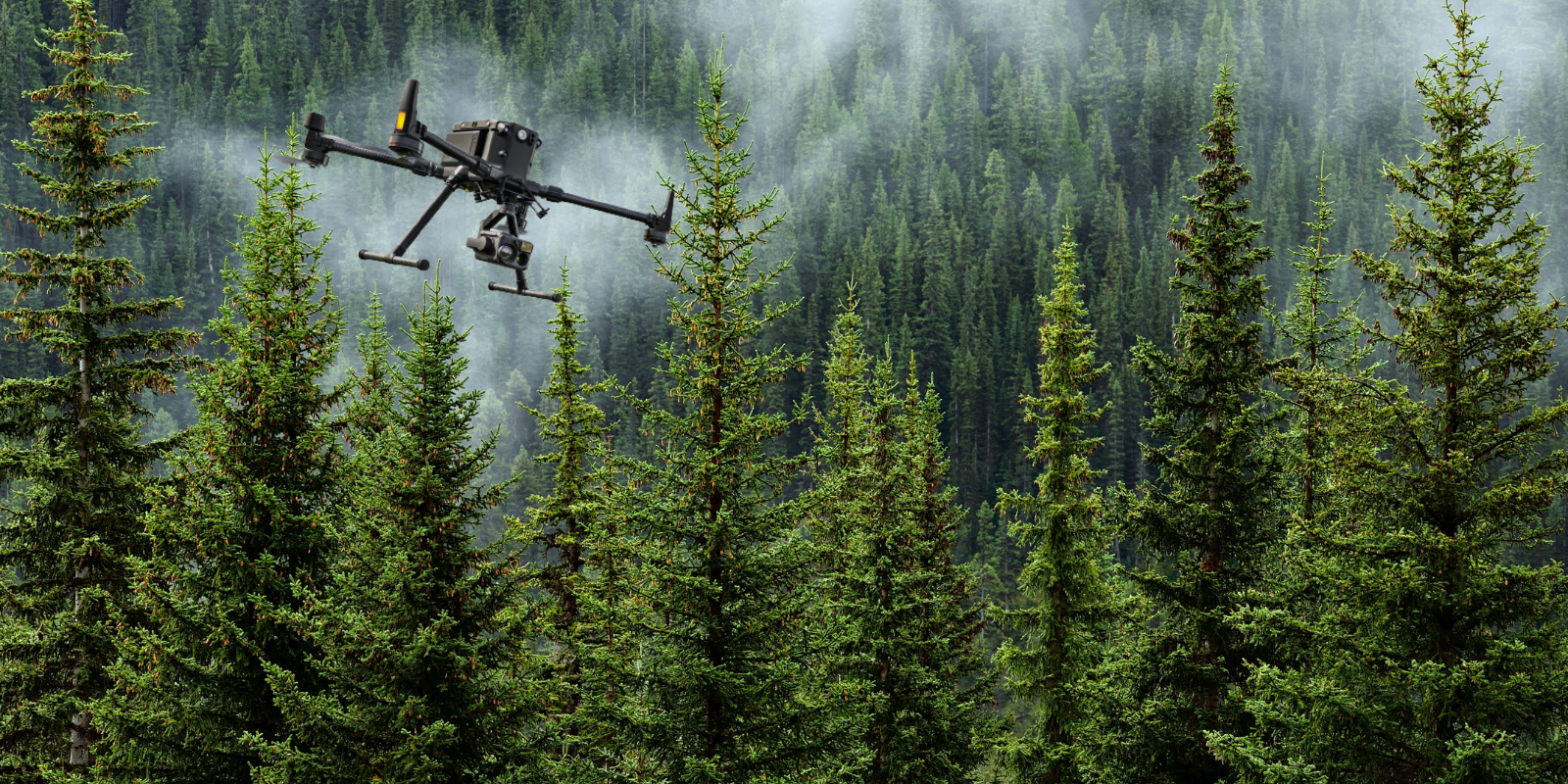
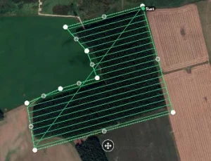
Iprosurv deployed a three-person drone team to survey a 250-hectare area impacted by the storm. The operation took approximately 8 hours to complete, covering large portions of the forest that would have been difficult and dangerous to assess manually.
The drones collected high-resolution images and data, which were processed into orthomosaic maps and Digital Terrain Models (DTMs) to provide the client with a comprehensive overview of the damage.
Using drones, Iprosurv was able to survey 20 hectares in roughly 25 minutes, a rate significantly faster than traditional methods, while ensuring the safety of personnel.
The data collected was processed in real-time, allowing immediate assessment of the damage and enabling the client to begin planning restoration activities within 72 hours of the drone operation.
Advantages of Drones in This Case Study
- Safety: The drones allowed for the complete avoidance of high-risk areas, where entering manually would expose workers to falling trees and other hazards.
- Speed: Iprosurv’s drones covered large areas quickly, gathering essential data that traditionally would take weeks to collect.
- Cost-Effectiveness: The drones reduced the need for expensive helicopter surveys and minimised the number of workers needed on-site, providing immediate cost savings.
- Precision: With a Ground Sampling Distance (GSD) of 1.91 cm per pixel, the drones provided highly detailed imagery. This allowed the client to identify specific areas for felling, clearance, and replanting with remarkable accuracy.
Software Utilisation
Iprosurv utilised a proprietary platform to collect and share the data instantly with the client and various stakeholders, including forestry managers, loss adjusters, insurers, and contractors. The data was processed into various formats compatible with Geographic Information Systems (GIS), particularly the client’s preferred QGIS software.
Orthomosaic files in TIF format, along with DTMs, were produced, allowing for detailed terrain analysis and precise measurement of the affected areas.

Data Processing and Delivery
Upon completion of the drone flights, the data was instantly uploaded on-site and processed within a few hours. The client required high-resolution orthomosaic maps and terrain models to assist in planning the removal of damaged trees and replanting efforts. The final deliverables included:
- Orthomosaic imagery in TIF format, compatible with QGIS.
- A Digital Terrain Model (DTM) to assess the topography and confirm areas of damage.
- A low-resolution 3D model to provide a different perspective for understanding the extent of the damage.
The data was delivered within 72 hours, enabling the client to quickly plan for felling applications, resource allocation, and safe access routes for removal.