AM
Fundamentals and Principles of Drone Aerial Imaging.
-
Types of drones for mapping, surveying and photogrammetry uses.
-
Types of UAV aerial sensors – Passive and Active (RGB, Infrared, Multispectral, LiDAR…).
-
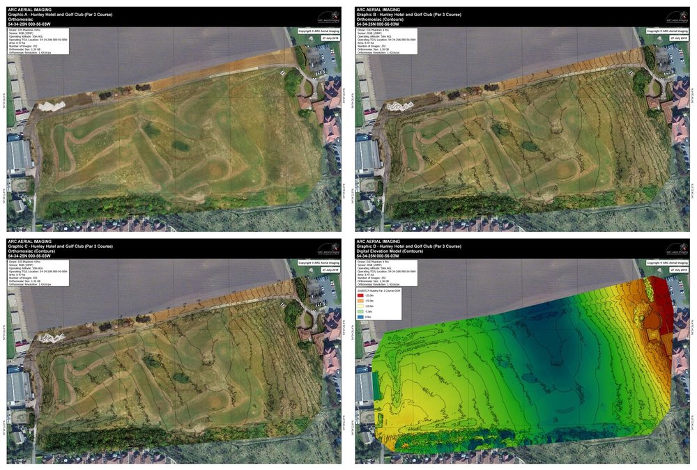
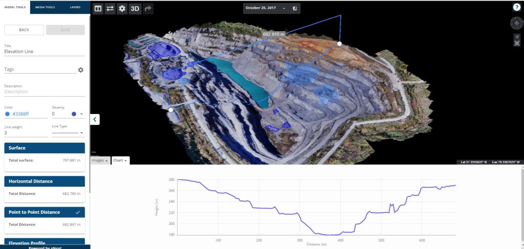
Typical geospatial product outputs produced from aerial imaging.
-
Digital sensing and Imaging Bit Depth.
-
Components of an aerial sensor.
-
Aerial imaging formats.
-
Lenses and focal lengths.
-
Types of sensor shutters.
-
Understanding aerial imagery fields of view (FoV).
-
Understanding spatial resolution – Ground Sampling Distance (GSD).
-
How to calculate imagery FoV and GSD with mathematical
formulae. -
What can affect FoV and GSD on nadir aerial imagery.
-
Improving aerial imaging GSD and using imagery FoV to commercial advantages.
-
Understanding imagery resolution and their interpretabilities.
-
Understanding other aerial imagery format resolutions.
PM
Drone Flight and Sensor Planning.
-
The ‘gist’ of Photogrammetry and what it needs from collators of digital aerial imaging.
-
Aerial stereoscopy and parallax.
-
Photogrammetric principles – what it needs from digital aerial imaging.
-
How SfM photogrammetry works – the ‘data pipeline’.
-
Limitations of photogrammetry.
-
Managing mapping and surveying tasks.
-
Planning UAV aerial imaging mapping flights – the ‘imagery intelligence’ workflow cycle.
-
The UAV – correctly planning semi-autonomous UAV aerial imaging mapping flights.
-
The Sensor – applying the correct sensor settings for accurate and high radiometric quality of aerial imaging acquisitions.
-
Other UAV Sensors – Infrared, Multispectral and LiDAR sensing planning.
-
Site specific planning – understanding the operating environment and weather.
-
Hardware – using the correct onboard imaging storage media.


