Get a quote

Drone Mapping-Surveying and Photogrammetry Courses

Courses We Run

At Iprosurv, our Drone Mapping-Surveying and Photogrammetry Courses offer a comprehensive curriculum designed to cater to a broad spectrum of learners, from beginners to experienced professionals seeking advanced training.

Each course is meticulously structured to ensure participants fully grasp the material appropriate to their skill level.

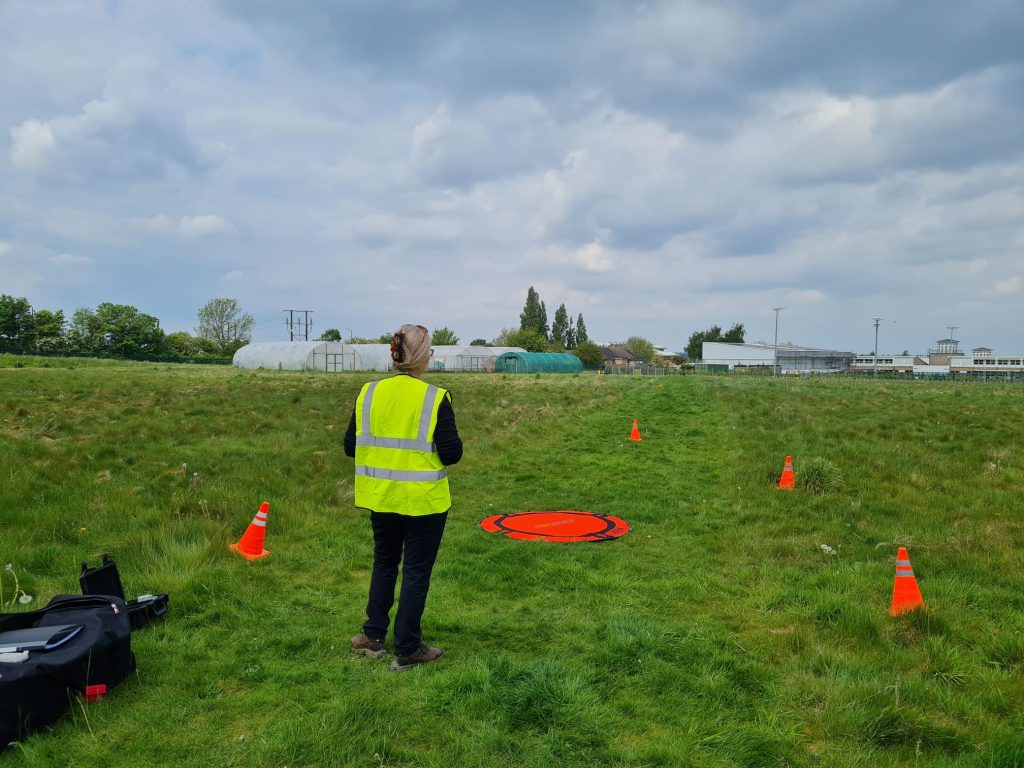
We blend theoretical knowledge with practical hands-on exercises, weather permitting, to enrich learning outcomes. Conveniently, our on-site flying locations are adjacent to the classrooms, eliminating any travel time and maximising practical training time.

Our instructors are seasoned experts, each with years of practical experience in the field.

The masterclass courses, in particular, are led by renowned industry professionals, guaranteeing that our students receive top-tier education and insights directly from leaders in the drone technology sector.

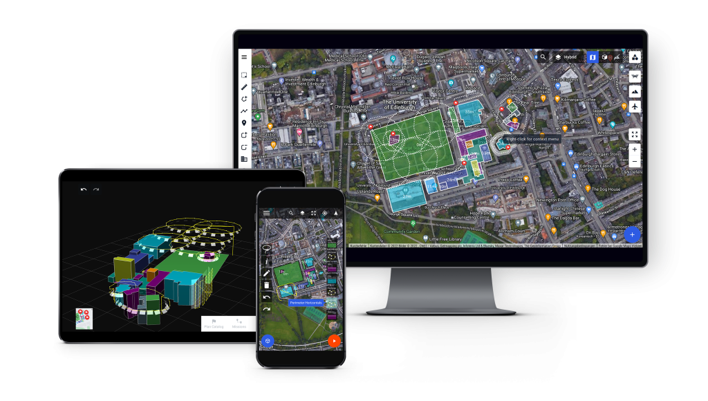
drone-harmony_all-devices-1024x580
Iprosurv Basic Mapping and Photogrammetry Course

Begginer and Intermediate Courses

Iprosurv’s beginner and intermediate courses in drone mapping and photogrammetry are crafted for operators keen to broaden their service capabilities and add value to their clients by mastering essential data collection techniques.

These comprehensive courses start from the basics, guiding participants through the fundamental principles of accurate data acquisition and the vital aspects of mission planning, site considerations, safety protocols, and understanding client needs to ensure project success.

Each course emphasises the importance of capturing data precisely while developing an appreciation for the various factors involved in aerial mapping, including pre-flight planning and setting client expectations.

Trainees gain hands-on experience in mission planning and data collection (weather permitting), with opportunities to use beginner-friendly cloud processing software, equipping them with the skills to deliver reliable, professional-quality results.

Masterclass Courses

Our masterclass courses, crafted and delivered by industry-recognised professionals, are tailored for intermediate to advanced drone operators, particularly those in the commercial sector.

These in-depth courses go beyond the basics, diving into the minutiae of mapping, surveying, and photogrammetry to equip operators with essential skills for complex operations.

During the masterclass, participants explore the finer points of sensor intricacies, planning considerations, image manipulation, and quality checking—all essential to achieving precision and clarity in their work.

We prioritise hands-on processing methods, teaching image processing from a desktop rather than relying solely on the cloud, and guiding learners through various software options.

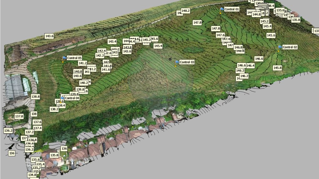
Key aspects of on-site operations and planning are covered, including the application of ground control points, RTK (Real-Time Kinematic), and ground stations for optimal accuracy.

To enhance the experience, the course includes practical flying sessions (weather permitting), allowing participants to implement their knowledge in real-time conditions.

Iprosurv 2 day mastercalsss mapping, surveying and photogrammetry course