Overview
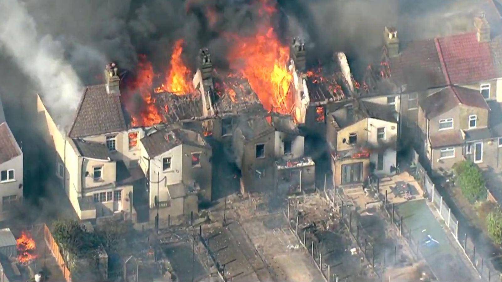
On 19 July 2022, Wennington Village in East London was struck by a devastating fire during a period of record-breaking temperatures across Europe.
The fire, which reportedly started from a compost heap, quickly escalated into a major blaze that involved multiple properties and adjacent grasslands.
Over 100 firefighters were deployed to manage the inferno that ultimately led to the destruction of 19 homes and significant damage to several others.
The severity of the situation prompted authorities to declare a major incident.
Challenges
The aftermath of the fire posed significant challenges for recovery and assessment efforts. Many buildings were left in a precarious state, with risks of collapse making it nearly impossible to conduct traditional on-site surveys for insurance loss purposes.
Additionally, access to the village was heavily restricted due to ongoing post-incident operations, complicating efforts for loss adjusters, insurers, and residents attempting to assess damages and coordinate rebuilding efforts.
Implementation of Drone Technology
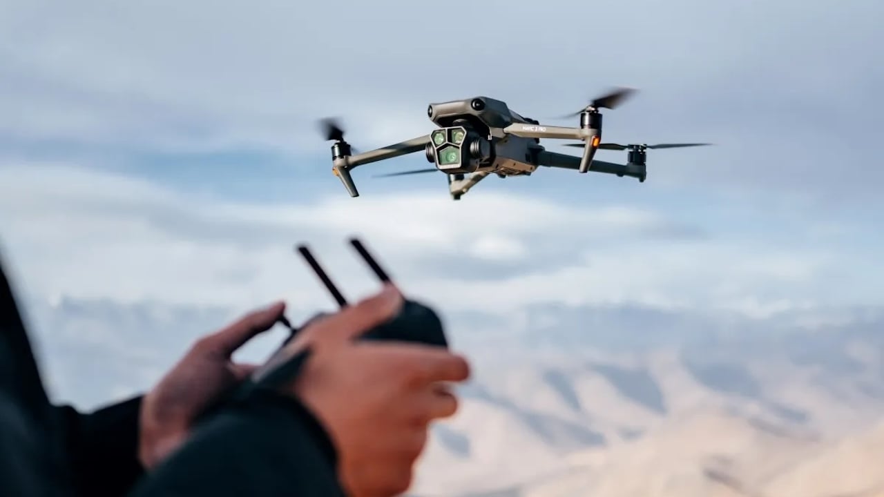
In response to these challenges, drone technology was utilised to facilitate rapid and safe assessment of the damages.
Drones equipped with advanced imaging and sensing technology were deployed to perform semi-autonomous flights over the affected area.
This allowed for comprehensive data collection from various angles without the need for physical entry into hazardous zones.

Advantages of Drones
- Safety: The use of drones significantly minimised health and safety risks by eliminating the need for physical access to unstable structures.
- Efficiency: Drones provided a quick means of assessing damage, crucial for accelerating the insurance claims process and allowing residents to initiate their recovery efforts.
- Comprehensive Data Collection: The drones captured high-resolution images and videos, which were then processed using specialist software to create interactive 3D models of the affected properties.
- Data Sharing: The data collected was not only useful for immediate assessments but also served as a permanent record that could be accessed by multiple stakeholders including structural engineers, forensic experts, and fire investigators. This facilitated coordinated planning for access, scope of works, and further investigations.
- Long-term Monitoring: The archived drone data could be referenced for ongoing monitoring of the reconstruction efforts and revisited for any claims clarification or additional assessments.
Software Outputs and Enhanced Data Utilization
Following the deployment of drone technology in the assessment of the Wennington fire damage, the capabilities of the pilot, enhanced through additional training from Iprosurv, played a pivotal role in maximizing the utility of the collected data.
This training equipped the pilot with the skills necessary to optimize flight plans and data capture techniques, which were crucial for generating multiple useful outputs from a single data collection session.
Data Processing and Outputs
The data gathered by the drone was processed to produce a variety of detailed outputs, crucial for different aspects of the post-fire analysis and recovery efforts:
- 3D Interactive Models: These models provided a dynamic and comprehensive view of the damage, allowing stakeholders to “walk through” the site virtually to inspect damage from multiple perspectives.
- 2D Ortho Mosaics: High-resolution aerial views stitched together from numerous drone images offered a precise, bird’s-eye view of the entire affected area, useful for mapping and broad-scale assessments.
- Land Elevations: Elevation data helped in understanding the topography changes caused by the fire, which was important for planning reconstruction and mitigating future fire risks.
Enhanced Decision Making
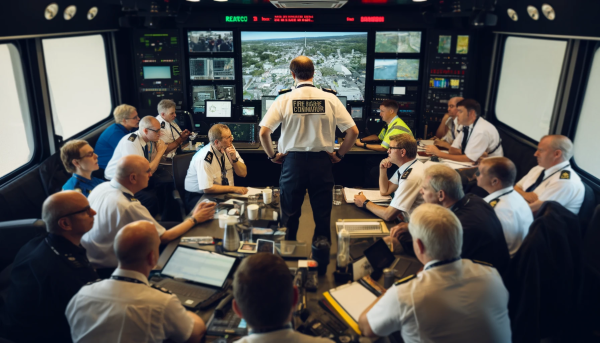
The variety of outputs from the drone data was instrumental in facilitating better decision-making.
By having access to detailed, accurate visualisations and measurements, stakeholders could make more informed choices about resource allocation, planning reconstruction, and prioritising areas in need of urgent intervention.
The ability to generate multiple data types from a single flight not only saved time and resources but also provided a holistic view of the impact, enhancing the efficiency and effectiveness of the recovery process.

Impact
The deployment of drones proved instrumental in managing the Wennington fire incident’s aftermath. The technology provided a critical tool for quickly gathering detailed information under conditions that would have otherwise delayed recovery processes.
The ability to share the collected data among various stakeholders ensured that all parties involved had access to accurate and detailed information, aiding in efficient decision-making and planning.
Ultimately, drone technology not only enhanced safety and operational efficiency but also played a vital role in helping the community of Wennington navigate the challenges of disaster recovery.
