2 Day Mapping, Surveying and Photogrammetry Course

Event Date:
May 4, 2024
Event Time:
9:30 am
Event Location:
Sheffield
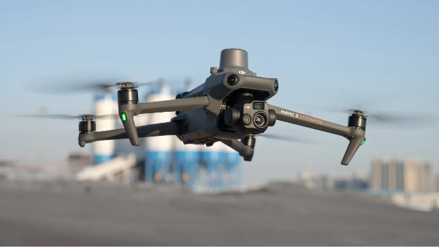
Topographic surveying with UAVs requires more than just flying a drone and processing images. It’s crucial to use the right UAV and sensors, and to understand how to leverage them effectively. Otherwise, you risk producing inaccurate data, regardless of the software used. This course is designed for both individual drone operators and corporate entities looking to enhance their services with mapping, surveying, and photogrammetry. Gain the expertise needed to specialize in this rapidly growing sector and meet the high standards demanded by clients.
Sorry, this event is expired and no longer available.


