Get a quote

2 Day Mapping and Photogrammetry Course

Comprehensive 2-day course

Our comprehensive 2-day course delves into the core principles of aerial drone imaging for mapping and surveying applications, designed to elevate the expertise of commercial drone operators and businesses in the realm of drone-based mapping.

We equip students with the knowledge and skills needed to proficiently plan and compile imaging data from various UAVs and cameras, leading to the creation of valuable geospatial products. We also guide them in presenting this processed data using widely-used software such as Pix4D Capture, Drone Deploy, Drone Harmony, and other industry-standard tools.

2 Day Mapping and Photogrammetry Course
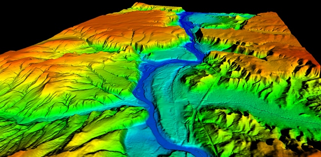
Drones in Digital-Terrain-map

Intermediate learning for UAS pilots wanting to offer more!

Understanding drone mapping theory, introduction to photogrammetry, imaging formats, and camera settings is paramount for drone pilots aiming to enhance their capabilities and offer more to their clients.

Drone mapping theory provides the foundation for creating accurate and detailed maps, essential for applications ranging from land surveying to environmental monitoring. An introduction to photogrammetry equips pilots with the knowledge to capture and process aerial images effectively, transforming them into valuable three-dimensional models.

Practical insights and hands on training

Familiarity with imaging formats and camera settings ensures optimal data acquisition, resulting in high-quality and precise outputs. The Mapping, Surveying, and Photogrammetry course serves as a comprehensive guide, offering practical insights and hands-on training for drone pilots looking to elevate their skills.

By mastering these elements, drone pilots can provide clients with more comprehensive and reliable data, opening up opportunities for diverse applications such as construction site monitoring, agricultural planning, and infrastructure inspection.

Drone Aerial Imaging Mastercalss Course for Mapping, surveying, and Photogrammetry
Automated Flight Planning Software

Flight Planning Software

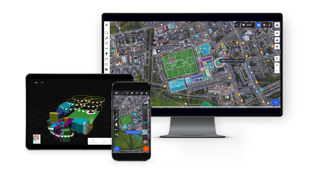
In the realm of automated planning missions, a profound understanding of flight planning software is indispensable. Mastery of these tools is critical as it empowers individuals to harness the full potential of automated systems in the domain of aerial missions. This course plays a pivotal role in imparting essential skills by introducing participants to cutting-edge flight planning tools such as Drone Harmony, DJI Pilot 2.

These software platforms are instrumental in providing users with a comprehensive suite of capabilities, enabling them to craft and execute automated flight plans with precision and efficiency. The acquired knowledge equips participants with the proficiency to generate sophisticated automated flight plans, ensuring optimal utilization of unmanned aerial vehicles (UAVs) and enhancing the effectiveness of missions across various sectors, including agriculture, surveying, and environmental monitoring.

Immersive practical learning

Embark on an enriching journey into the realms of Mapping, Surveying, and Photogrammetry with the exceptional Iprosurv course. Our meticulously crafted curriculum ensures a comprehensive learning experience, seamlessly blending theoretical knowledge with hands-on training. The practical sessions stand as the cornerstone of our program, where you not only receive expert guidance on utilizing an RTK connection but also gain proficiency in basic layout and site setup.

Uncover the significance of Ground Control Points (GCPs) and their on-site applications, acquiring essential skills and insights into must-do practices and pitfalls to avoid. Elevate your expertise in Mapping, Surveying, and Photogrammetry through the immersive and practical approach offered by Iprosurv, setting you on the path to success in this dynamic field.

Conduct practical flight missions around structures and essential site assessments.

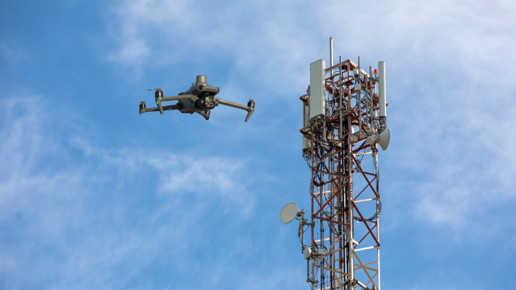
Drones in Telecommunications
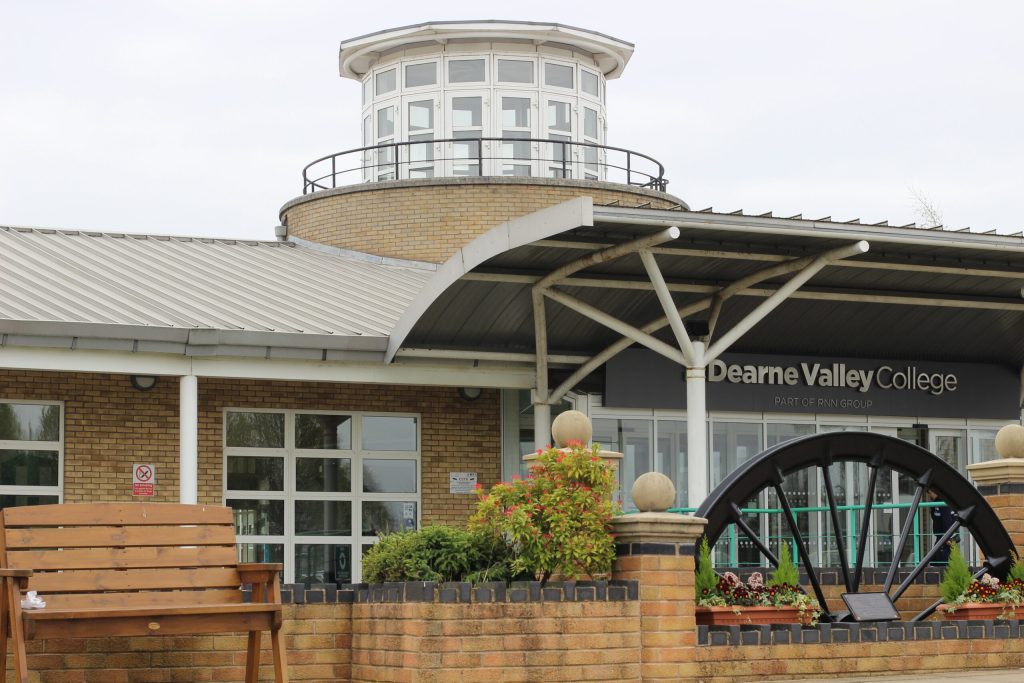
Iprosurv Offices advanced manufactguring park technology centre

Course Locations

This course is run at the Iprosurv office locations near Sheffield our location has state-of-the-art teaching facilities and large practical flight training spaces to enable you to practice and confirm what you have learned. The location has full accecibility, free WIFI and secure parking.

Couirse Summary

AM

  • Drone mapping theory

  • Introduction to Photogrammetry

  • Imaging Formats

  • Camera Settings

  • Geospatial Coordinate Systems and GSD

PM

  • Mapping, Surveying, and Photogrammetry Outputs

  • RTK and PPK (Precision GNSS)

  • Planning Tools (Drone Harmony, Drone Pilot 2)

  • Site-Specific Planning

AM

  • Practical guidance on using a GPS Rover with an RTK connection

  • Site layout and setup

  • Efficient onsite image collection technique

PM

  • Quality Assurance (QA) procedures onsite

  • Organizing and Processing Imaging Data

  • Q&A
  • Course Close

​