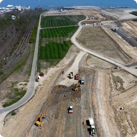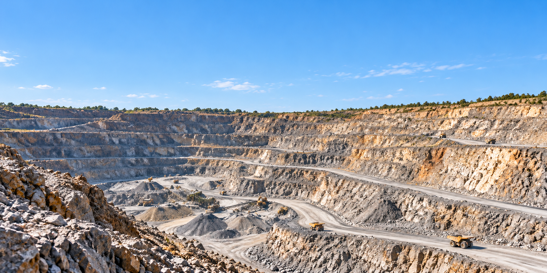
Quarry & Mine Site Mapping
Mining, Quarrying & Confined Spaces | Site Mapping A clearer picture of your quarry, from…
|
Inspecting the structures
|
Aerial surveys can support the assessment and management of bridges and other civil engineering structures. |
|
The Challenge
Critical structures.
|
What condition is the structure in?
Record visible cracking,
Which areas are difficult to inspect?
Capture suitable views
Where should engineers investigate further?
Use visual findings
How can asset records be improved?
Create consistent imagery, |
Drone Applications
From highway bridges and
railway viaducts to retaining
structures and drainage assets,
drones provide valuable
visual information to support
engineering investigations
and infrastructure management.
Capture high-resolution imagery
of accessible bridge decks,
parapets, piers, abutments
and structural components.
Visual records can help
engineers identify areas
requiring closer inspection
or maintenance.
Document elevated rail
structures, masonry arches,
piers and accessible
external components.
Surveys require appropriate
permissions, operational
coordination and railway
safety arrangements.
Collect detailed visual
records of exposed structural
elements, including potential
cracking, concrete spalling,
corrosion, missing components
and deteriorating masonry.
Findings are interpreted
by competent engineers.
Survey retaining walls,
earthworks, embankments
and associated structures
for visible deterioration,
drainage issues, vegetation
and surface changes.
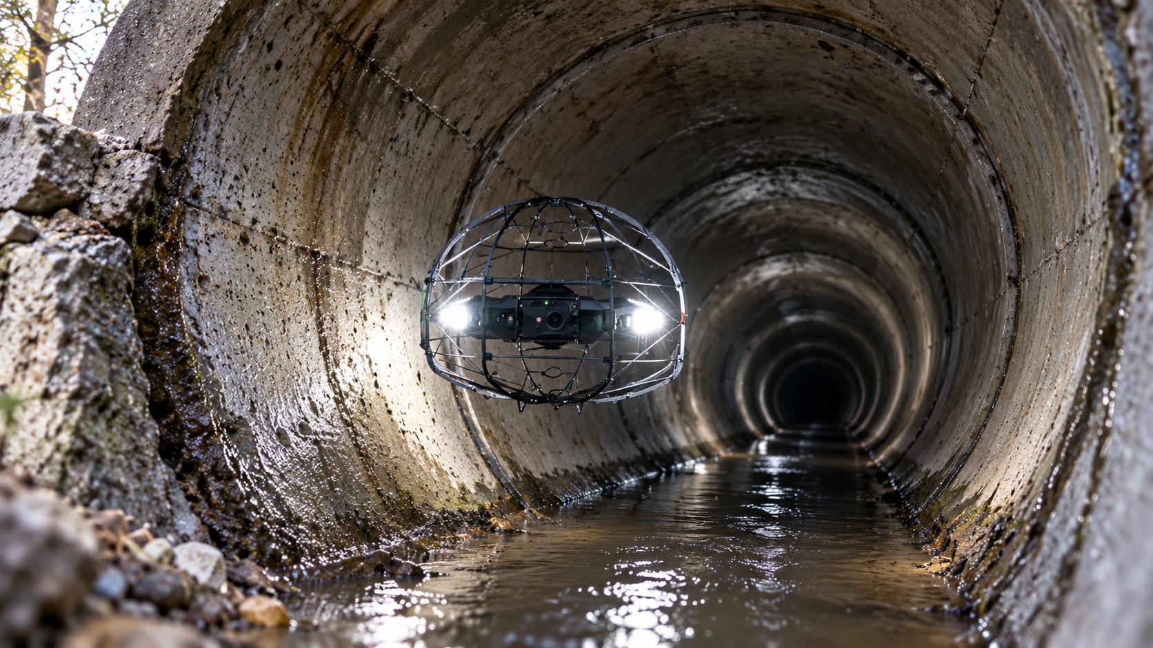
Document accessible
culvert entrances,
outlets, channels,
headwalls and water
crossings. Aerial observations
may highlight visible
obstructions, erosion
and deterioration.
Use suitable photogrammetry
and LiDAR workflows
to develop digital
representations of structures
and surrounding sites,
supporting planning,
measurements and
asset documentation.
From Flight to Engineering Assessment
Drone surveys can form
part of a structured
inspection workflow,
providing visual and
spatial evidence
for engineering teams.
Establish the structural
components to be inspected,
site access restrictions,
operational safety controls
and required outputs.
Collect appropriate
high-resolution images,
video or mapping data
from safe viewpoints,
including difficult-access
areas where practicable.
Organise and deliver
findings for review
by qualified engineers,
helping inform further
inspections, repairs
and maintenance plans.
|
Technology in Action
The right data
|
High-Resolution Imaging Detailed photographs document visible structural conditions and can be reviewed after the inspection.
Optical Zoom Cameras Enable observation of elevated or difficult-access features without necessarily approaching closely.
Photogrammetric Modelling Produces digital 3D representations of visible structures using overlapping imagery and suitable processing.
LiDAR Surveying Captures spatial information about structure geometry and surrounding environments.
Digital Asset Information Mapping and survey outputs can support engineering records and compatible asset management systems. |
Why It Matters
Drones can support
infrastructure management
by providing useful
inspection information
while helping organisations
plan where specialist
resources are needed.
Remote visual surveys
can help assess suitable
areas before deciding
whether physical access,
lifting equipment
or rope access is required.
Detailed imagery
can help identify
visible deterioration
and support planning
for further inspection,
specialist testing
and repair works.
Consistent photographs,
mapping and suitable
3D models provide
valuable records
for future comparisons
and asset management.
|
Every structure
|
What should asset owners consider?
|
|
A clearer picture
|
Iprosurv can help |
Whatever you need drones to do, there are three ways to work with Iprosurv.
Our pilots carry out the survey or inspection and deliver the data and reports you need.
Accredited courses that give you and your team the skills to fly safely and legally.
The drones, sensors and software to run your own operations, with expert advice.
Tell us what you are trying to achieve and we will recommend the right service, training or equipment.