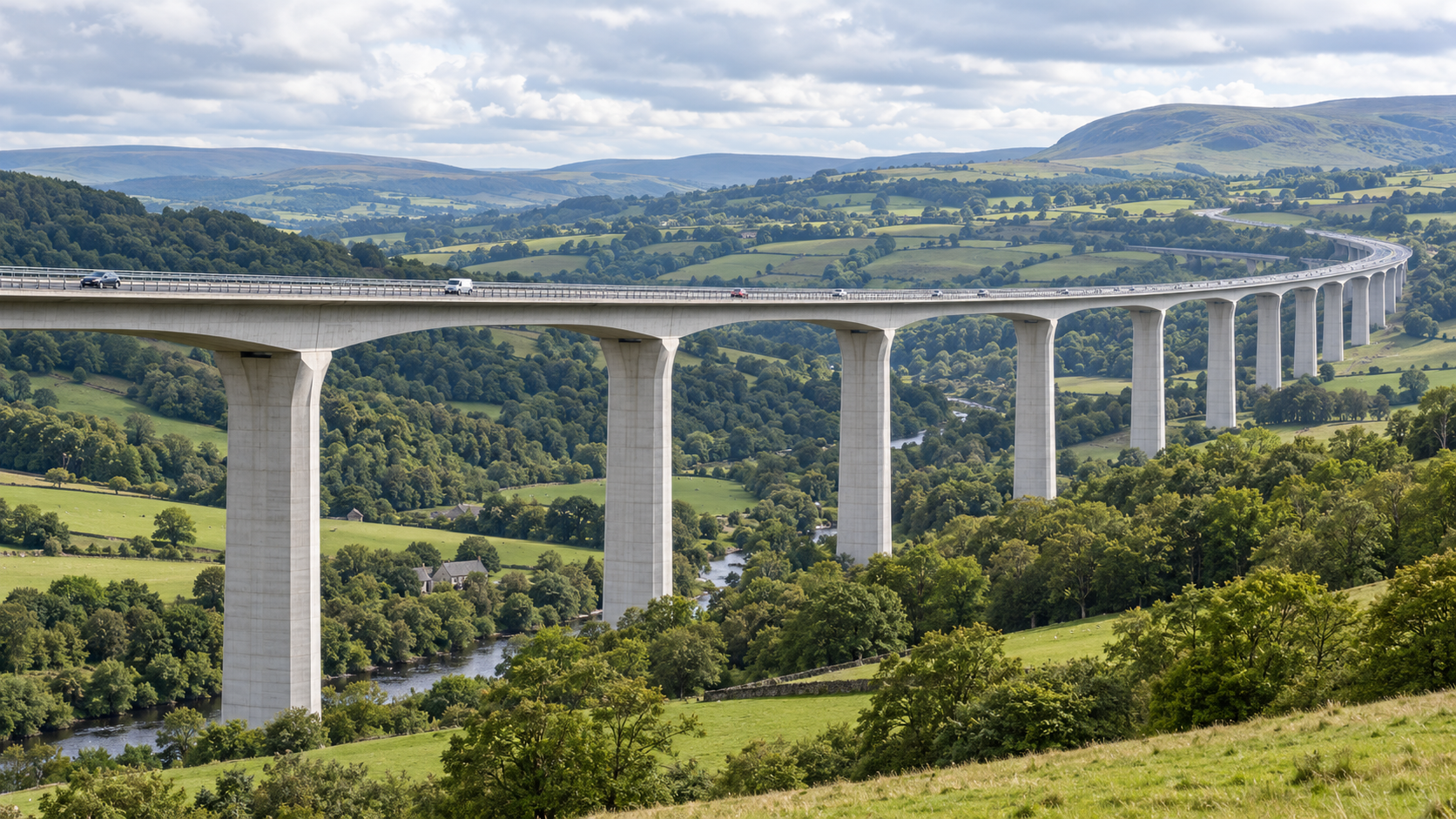
Bridges & Civil Infrastructure Inspections
Infrastructure & Utilities | Bridges & Civil Infrastructure Inspecting the structures that keep Britain connected.…
|
The Challenge
Critical structures. Extensive networks. Difficult access.
|
Questions That Matter
What condition is the pylon structure in?
Document corrosion, visible deformation, damaged members and areas of potential deterioration.
Are critical components visibly damaged?
Inspect crossarms, insulators, conductor fittings, attachment points and accessible structural connections.
Is vegetation affecting the corridor?
Use suitable survey data to investigate vegetation growth and potential clearance concerns.
Can maintenance visits be better targeted?
Provide referenced imagery to help engineering teams determine where closer inspection or repairs may be required. |
Drone Applications
From the structural condition of individual towers to corridor-scale surveying, drones provide complementary methods for documenting electrical infrastructure.
|
01 / Structural Condition
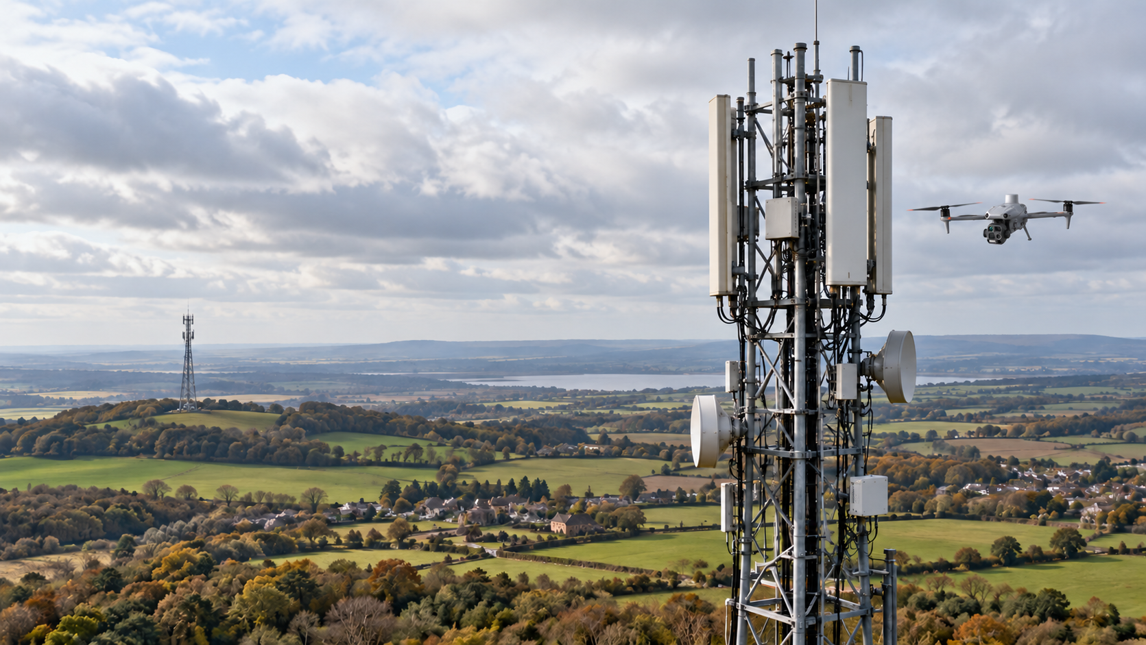
Pylon & Transmission Tower InspectionsExamine the accessible external condition of lattice steelwork, tower legs, bracing, crossarms and structural members. High-resolution imagery helps document visible corrosion, deformation, damaged coatings and other concerns for engineering assessment. |
02 / Connections & Fittings
Bolts, Connections & CrossarmsOptical zoom imagery can document accessible bolted connections, fixing assemblies, crossarm attachments and visible signs of missing components or damage. Image-based observations do not replace hands-on checks of fastening integrity. |
|
03 / Electrical Components
Insulators & Conductor FittingsCapture detailed photographs of insulator strings, suspension and tension assemblies, clamps and visible conductor attachments, helping specialists identify contamination, physical damage and other observable conditions. |
04 / Overhead Lines
Conductor & Overhead Line InspectionsDocument accessible conductor sections, joints, spacers, dampers and associated hardware. Detailed visual records can support identification of suspected mechanical damage and components requiring specialist assessment. |
|
05 / Geospatial Surveys
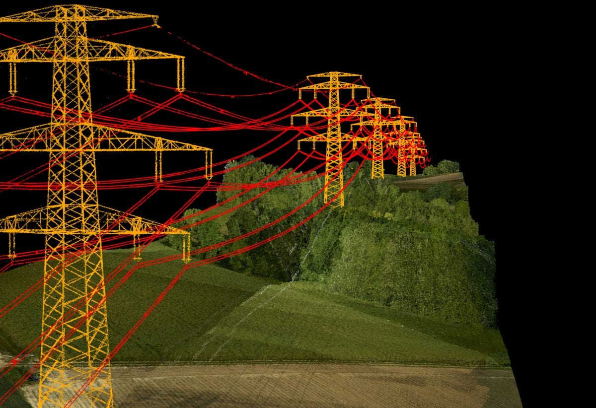
LiDAR Corridor & Vegetation SurveysLiDAR can provide point-cloud data of terrain, vegetation, supporting structures and suitably captured conductors. This supports corridor modelling and the investigation of potential clearance issues using appropriate engineering criteria. |
06 / Thermal Observation
Targeted Thermal & Visual AssessmentsSuitable thermal cameras can record apparent temperature anomalies on accessible electrical components under appropriate conditions. Findings require competent interpretation and cannot establish electrical condition from temperature alone. |
|
07 / Asset Records
Repeat Pylon & Network InspectionsEstablish dated visual and spatial records of individual structures and overhead line sections. Consistent repeat inspections can help asset managers compare visible changes and maintain reliable documentation. |
08 / Incident Support
Storm Damage & Post-Incident SurveysFollowing severe weather or other incidents, authorised aerial surveys can help document visible damage to towers, conductors, fittings and access routes, subject to network operator coordination and safe flight conditions. |
From Flight to Asset Insight
Effective inspection combines careful planning, suitable imaging or surveying technology and systematic reporting to help engineering teams understand the condition of their assets.
|
01. Define the Scope
Identify relevant pylons, structures, conductors and corridors. Agree the inspection detail, permissions, operating restrictions and required outputs. |
02. Capture the Data
Collect high-resolution photographs, optical zoom imagery, suitable thermal observations or LiDAR measurements within the approved operating arrangements. |
03. Review & Report
Organise imagery and survey data by asset, location or corridor section, providing useful records for competent engineers and maintenance teams. |
|
Technology in Action
The right data for the structure and the corridor.
|
Inspection Technology Explained
High-Resolution Imaging
Detailed visual records of towers, steelwork, fittings and conductor components.
Optical Zoom Inspection
Examine visible elevated features and structural connections at suitable separation distances.
LiDAR Point Clouds
Support corridor mapping, vegetation analysis and spatial modelling of captured infrastructure.
Photogrammetry & Modelling
Create suitable visual models of pylons and surrounding infrastructure.
Thermal Observation
Record apparent temperature patterns on appropriate accessible components for specialist review. |
Aircraft & Payloads
The appropriate platform depends on whether the inspection requires detailed visual observations, corridor-scale spatial surveying or a combination of methods.
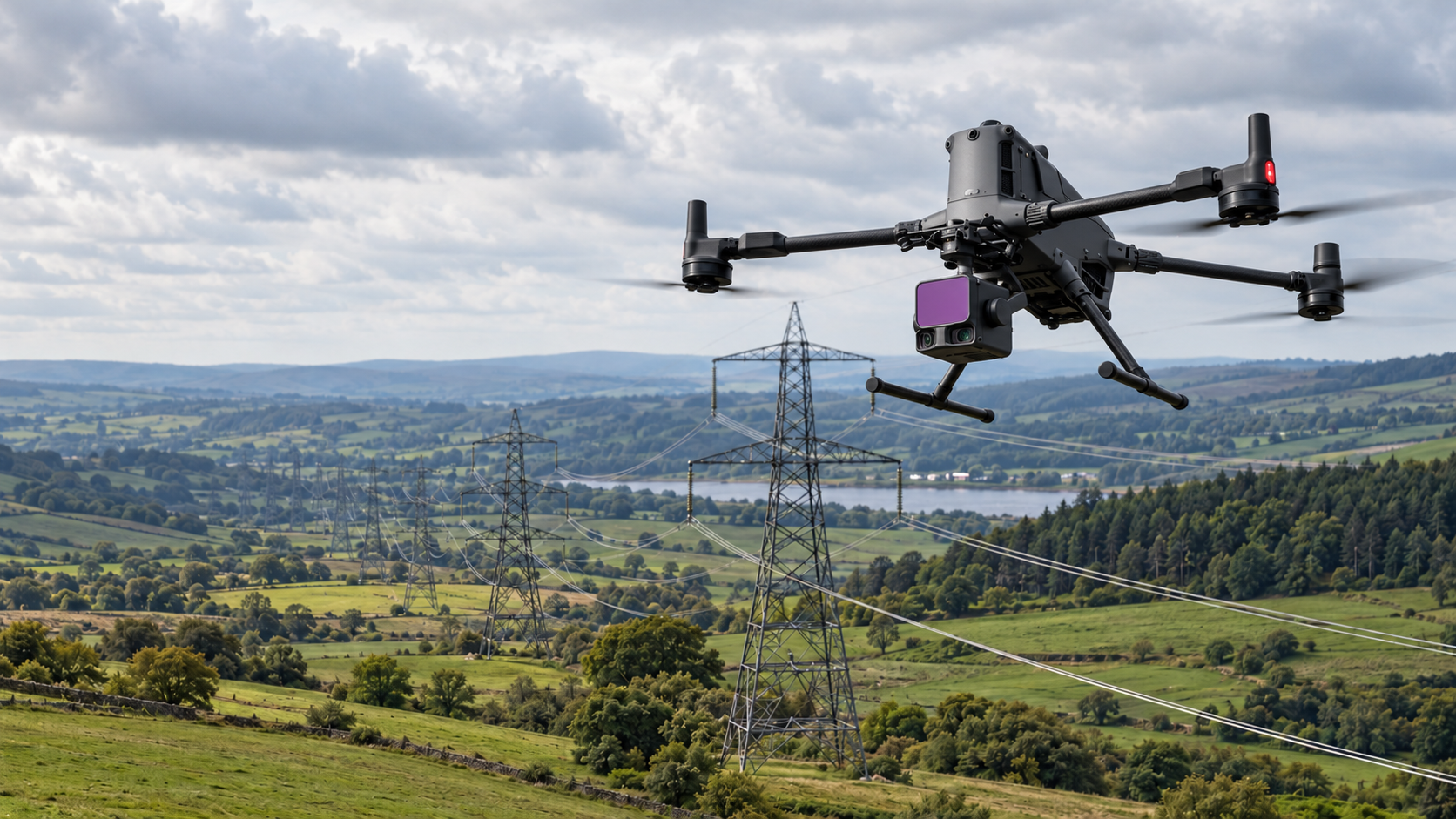
DJI Matrice 400 with Zenmuse L3 LiDARAn enterprise aircraft and LiDAR combination suited to spatial data collection, corridor mapping, terrain modelling and vegetation assessment. Suitable captured datasets may also support conductor geometry and tower positioning analysis. |
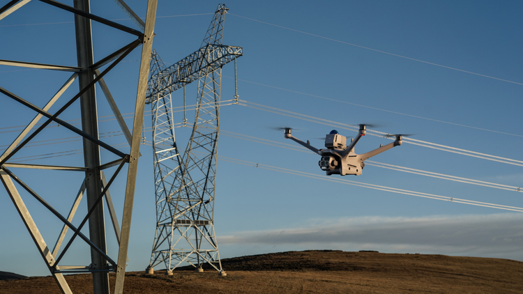
DJI Matrice 4TA compact multisensor aircraft providing optical zoom and thermal imaging. It can support targeted observation of external structural and electrical components from appropriate stand-off positions, subject to site and flight constraints. |
Why It Matters
Drone inspections complement conventional utility maintenance by providing detailed asset information and supporting engineering-led decisions.
Support Safer Inspection PlanningReview visible conditions remotely before deciding whether climbing teams, access equipment or specialist examinations are required. |
Prioritise Maintenance WorkDetailed imagery and identified areas of concern can help engineering teams prioritise further investigation and repairs. |
Improve Asset DocumentationConsistent visual records and spatial data can support asset management, corridor planning and comparisons between inspection cycles. |
|
Planning Utility Drone Inspections
Successful inspections require more than a good camera.
|
Planning Considerations What should network operators consider?
Which assets need inspecting?
Identify tower structures, poles, insulators, conductors, fittings and vegetation corridors.
What information is needed?
Specify detailed visual imagery, thermal observations, LiDAR, photogrammetry or combined deliverables.
What operational controls apply?
Confirm network operator requirements, electrical clearances, site access and aviation permissions.
How will defects be recorded?
Agree asset identification, image references, location records and reporting requirements.
Who will assess the findings?
Establish responsibility for engineering review, specialist testing and subsequent maintenance decisions. |
Whatever you need drones to do, there are three ways to work with Iprosurv.
Our pilots carry out the survey or inspection and deliver the data and reports you need.
Accredited courses that give you and your team the skills to fly safely and legally.
The drones, sensors and software to run your own operations, with expert advice.
Tell us what you are trying to achieve and we will recommend the right service, training or equipment.