How are Drones are Improving Accuracy and Efficiency in Fire-Damaged Crop Surveys
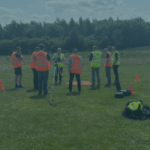
How are Drones are Improving Accuracy and Efficiency in Fire-Damaged Crop Surveys? Drones have become increasingly valuable in various industries, including agriculture and insurance. When it comes to fire-damaged crop claims, drones provide an efficient and cost-effective solution for assessment and documentation. These unmanned aerial vehicles (UAVs) equipped with advanced technology and automated flight missions offer several advantages in this context.
Rapid Assessment:
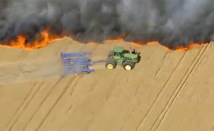
Drones enable insurers and adjusters to quickly evaluate the extent of fire damage in crop fields. They can cover large areas in a relatively short time, providing a comprehensive overview of the affected land.
High-resolution Imagery:
Advanced drones can capture high-resolution aerial imagery, allowing for detailed inspection of fire-damaged crops. This imagery helps insurers assess the severity of the damage, estimate yield losses, and determine appropriate compensation for farmers.
Thermal Imaging:
Drones equipped with thermal cameras can detect temperature variations in fire-affected areas. This information is crucial for identifying hotspots and areas where the fire may still be smouldering, helping to prevent further damage and potential reignition.
3D Mapping:
Drones can generate accurate three-dimensional maps and models of fire-damaged fields. These models provide a visual representation of the terrain, allowing insurers to assess the topography and identify areas of concern more precisely.
Cost Efficiency:
Compared to traditional methods of assessment, such as ground surveys or manned aircraft, drones offer a cost-effective solution. They require fewer resources, minimize the need for manual labour, and reduce the overall time and expense associated with assessing fire-damaged crop claims.
Safety:
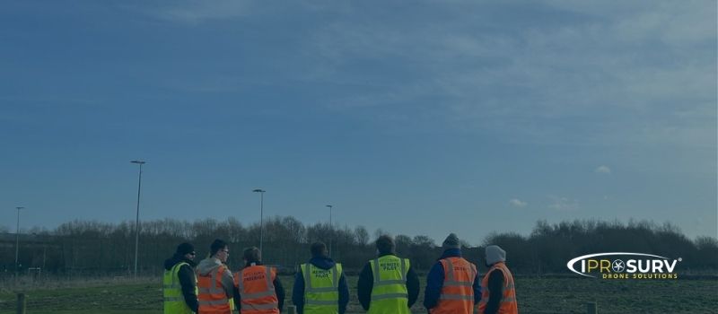
Using drones eliminates the need for adjusters to physically enter potentially hazardous areas. This improves overall safety during the assessment process, particularly in the aftermath of fires, where unstable structures or debris pose risks.
Automated Flight Missions:
Advanced drones can be programmed with automated flight missions, following predetermined paths and capturing specific data points. This automation streamlines the assessment process and ensures consistent data collection, reducing human error and improving efficiency.
Data Analysis and Integration:
The data collected by drones can be analysed using specialized software, enabling insurers to extract valuable insights. This analysis can include identifying areas with salvageable crops, estimating yield losses, and generating detailed reports for claim settlements.
Summary:
Drones equipped with advanced technology and automated flight missions have revolutionized the assessment of fire-damaged crop claims. Their ability to rapidly capture high-resolution imagery, perform thermal imaging, and generate 3D maps provides insurers with accurate data for efficient and informed decision-making. These benefits, along with cost savings and improved safety, make drones an invaluable tool in the insurance industry.
If you want to know more about how drones can help you and maybe integrating drones into your existing workflow then give Iprosurv a call or contact us HERE.
Or if you prefer to talk to us please call 0114 4055 007 where we will be glad to answer any of your questions.