Overview
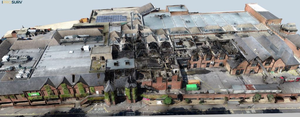
Iprosurv provides a major and complex loss product designed to facilitate rapid, accurate, and shareable data collection through the use of drones, enabling stakeholders such as loss adjusters, insurers, structural engineers, and contractors to access a digital twin of the property at a single point in time.
This technology creates a single dataset that can be interpreted in multiple ways based on stakeholder needs, offering real-time insights and reducing the need for on-site visits.
This case study details how Iprosurv employed this solution in response to a large fire event affecting a retail outlet in the south of England.
Challanges
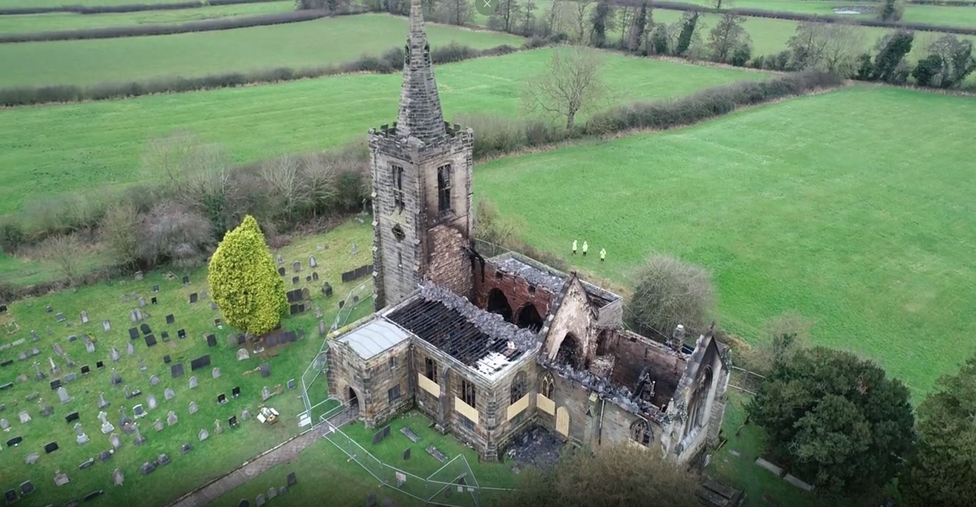
When a significant event such as fire or flood occurs, the challenges faced by stakeholders are numerous. In the case of the fire at a retail outlet in southern England, the structure was heavily damaged, with large portions collapsed and access restricted due to safety concerns.
Emergency services were still managing the situation on-site, further limiting access for professionals such as loss adjusters, insurers, and contractors. The challenge was to assess the damage, set reserves, and commence planning for reconstruction without being able to physically access the property.
Traditional methods would require multiple professionals to attend the site individually, producing their own reports for stakeholders. Given the access restrictions and the ongoing fire management efforts, this was neither feasible nor safe.
Implementation of Drone Technology
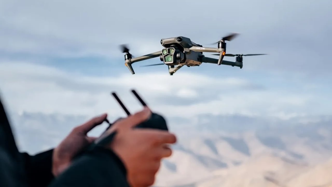
Iprosurv’s drone technology was deployed to overcome these challenges. Equipped with high-resolution cameras, advanced sensors, and live streaming capabilities, the drones were able to capture detailed aerial footage and create a digital twin of the damaged structure.
This data was collected without any personnel needing to be physically present, providing an immediate and accurate assessment.
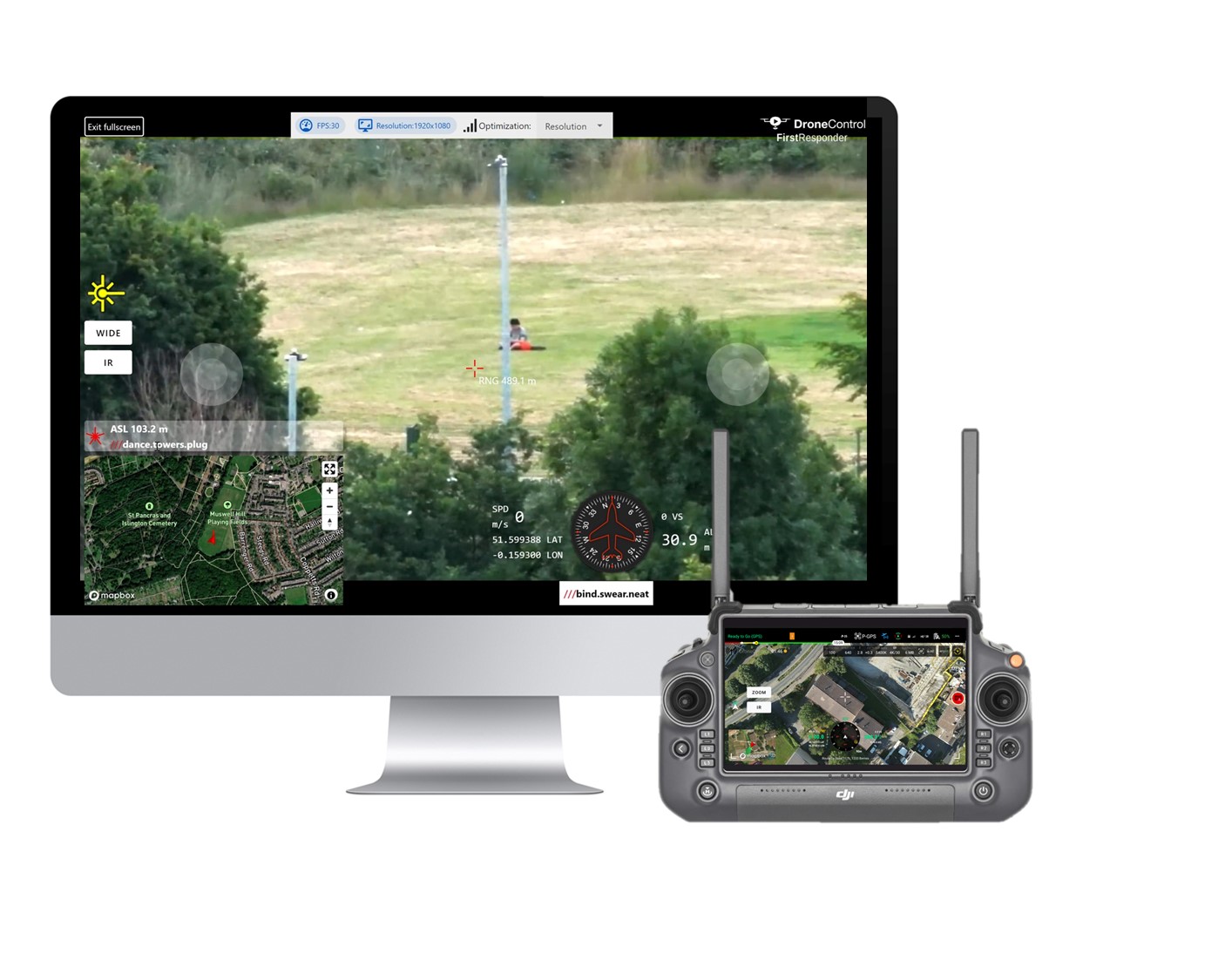
Drones streamed real-time footage to stakeholders, allowing remote teams—including loss adjusters, insurers, and engineers—to begin interpreting the data without delay. This accelerated the decision-making process and allowed for early-stage actions to be taken.
Advantages of Drones in This Case Study
- Safety: Drones mitigated the need for physical access to a dangerous site, ensuring the safety of all professionals involved.
- Time Efficiency: Data was collected and shared within hours rather than days or weeks, expediting the process of setting reserves and initiating recovery work.
- Cost Reduction: Drone technology eliminated the need for repeated on-site visits by multiple professionals, reducing costs and carbon emissions.
- Comprehensive Data Collection: The ability to create a digital twin allowed multiple stakeholders to interpret the same dataset from their unique perspectives, ensuring a unified approach to decision-making.
- Remote Access: Data could be accessed by stakeholders from any location, making it ideal for industry specialists in boardrooms or remote offices to contribute in real time.
Software
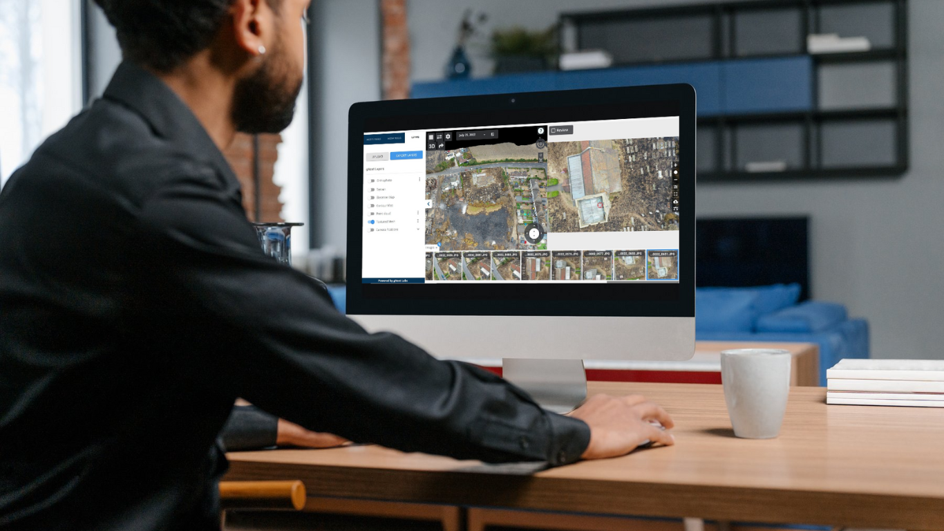
The drones used in this case were integrated with sophisticated software capable of generating 3D models, high-resolution imagery, and live-streaming feeds. The software was designed to process the drone-collected data and convert it into formats that could be easily interpreted by all stakeholders.
This allowed loss adjusters, structural engineers, and insurers to view the same data from different angles—whether for scoping damages, assessing structural integrity, or setting reserves for the insurer.
Data Processing
The data collected by the drones was processed to create a digital twin of the property, offering a full-scale, shareable 3D model that stakeholders could manipulate and analyse as required.
These digital models were stored securely and could be revisited at any stage, providing a historical reference point even after demolition or reconstruction. This enabled loss adjusters to analyse damage over time, contractors to plan for repairs, and engineers to assess structural risks, all without needing to revisit the physical site.
