Get a quote
Iprosurv Drone Ground Control Points

Drone Mapping Ground Control Points (GCP’s)

Drone Ground Control Points (GCPs) are marked points on the ground with known geographic coordinates.

They serve as reference points for aerial surveying and mapping using drones or other aerial platforms. GCPs play a crucial role in ensuring the accuracy of the data collected during aerial surveys, particularly in photogrammetry, where multiple images are stitched together to create detailed maps or 3D models.

Our ground control points are made of waterproof 440gsm material which is ideal for any site and can be wiped down after use in bad weather or in dirty environments.

Our GCP’s?

  • Can be custom made in your own colours but we do have a range a pre-designed products.
  • Banners have re-inforced stitching around the outside and also have stainless steel eyelets at each corner for pegging down.
  • There is a centre hole to accomodate a gps rover.
  • Can also be white labeled with your own branding.
  • Can be ordered in multiples of 5 (5,10,15,20) etc.
  • Discounts can be applied for multiple orders.
  • Large format 90CM x 90CM so panels are easily visable.
  • Come in a range of colours.
  • Reseller option with discounted supply (email us for more information).

GCPs are essential for achieving high-precision results in aerial surveying and mapping applications, providing a reliable ground-truth reference for the data collected by drones or other aerial platforms.

£149.99£424.98 Exc VAT

How do Ground Control Points Work?
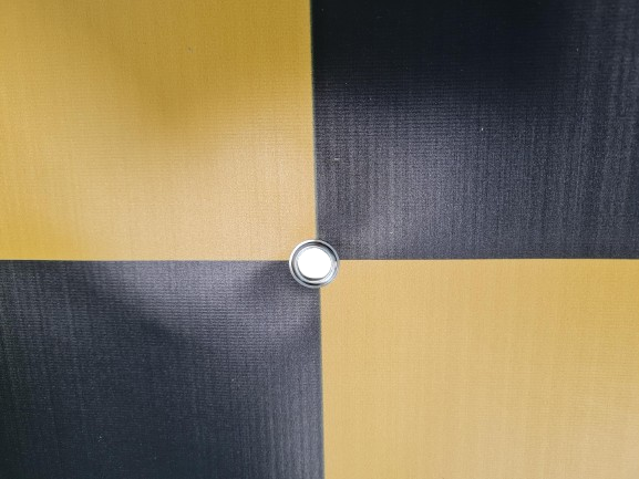
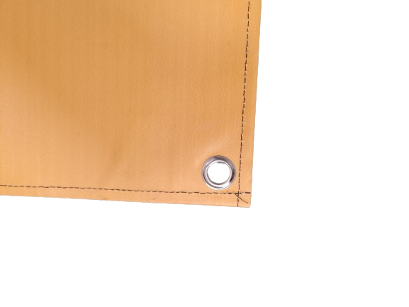
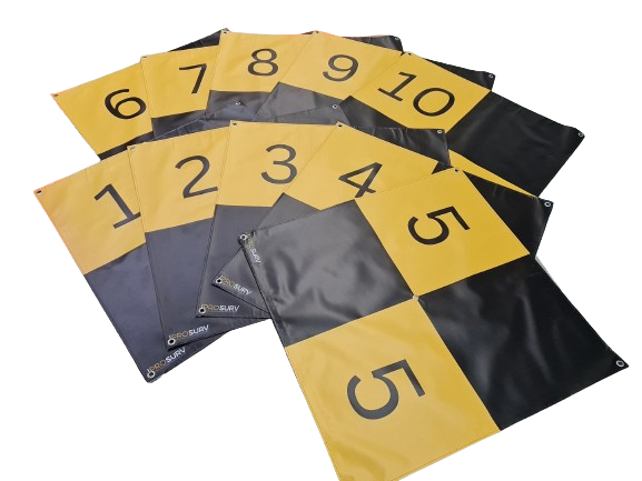
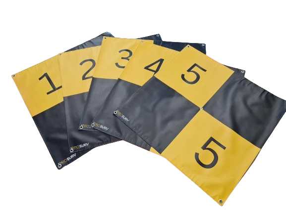
  1. Placement: GCPs are strategically placed across the survey area before the drone flight. They are typically distributed throughout the area of interest in a way that ensures good coverage and visibility from the air.
  2. Surveying: Each GCP is accurately surveyed using GPS (Global Positioning System) or other survey-grade equipment to determine its precise geographic coordinates (latitude, longitude, and sometimes elevation). This information is often recorded in a digital format.
  3. Aerial Survey: When the drone flies over the area, it captures images using its onboard camera(s). These images cover the entire survey area and include the GCPs.
  4. Image Processing: After the flight, the collected images are processed using specialized software for photogrammetry or image stitching. This software uses the visual information in the images to create detailed maps, orthomosaics, or 3D models of the surveyed area.
  5. Georeferencing: During the processing, the software uses the known coordinates of the GCPs to accurately georeference the resulting maps or models. This involves aligning the aerial imagery with real-world coordinates, greatly enhancing the accuracy of the final output.
  6. Quality Assurance: Once the processing is complete, the accuracy of the survey data is verified by comparing features in the output to the known locations of the GCPs. Any discrepancies can be corrected, and adjustments made as necessary to ensure the final product meets the required accuracy standards.

SIGN UP FOR NEWS AND OFFERS