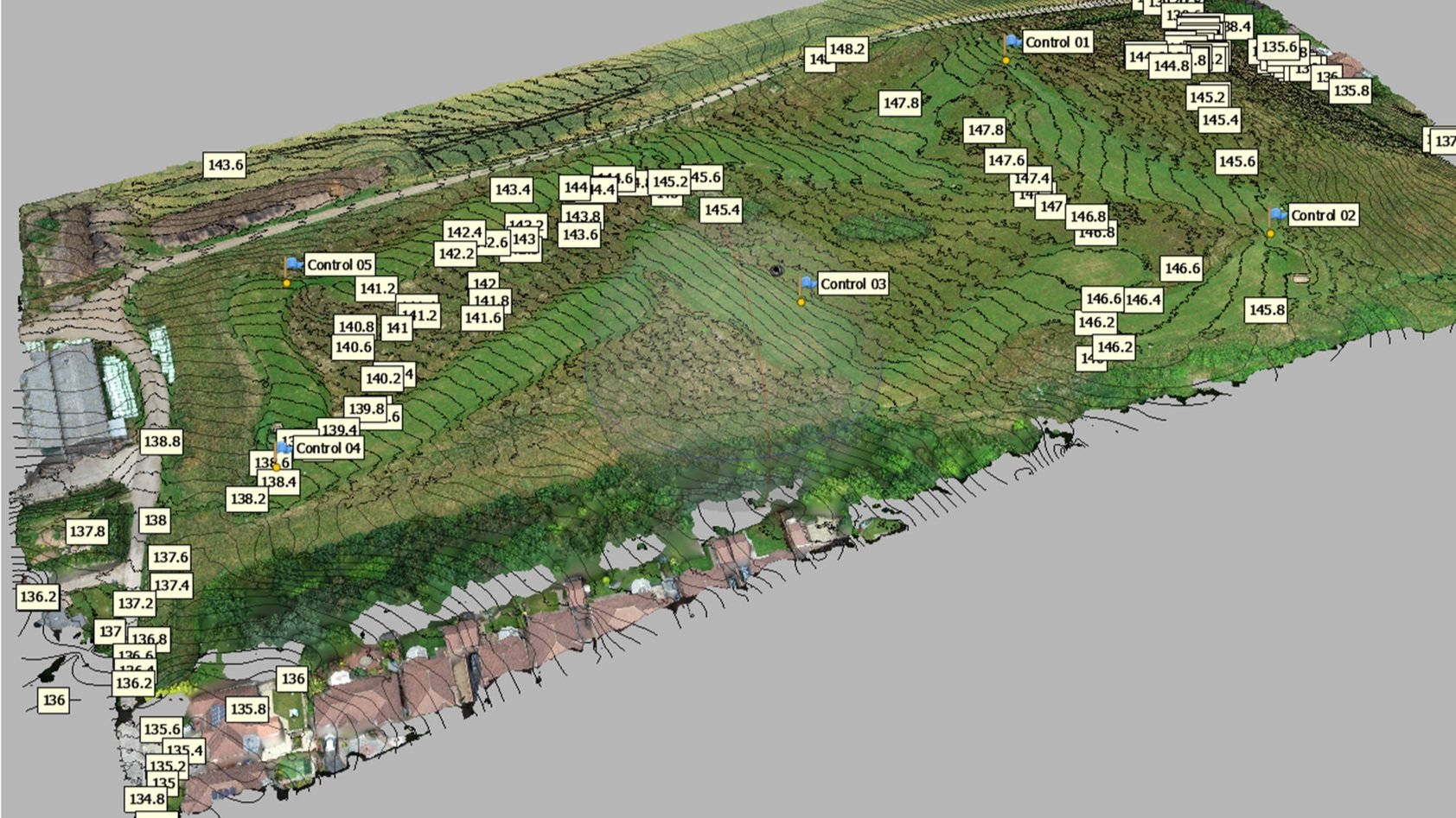
A masterclass is an advanced, intensive training experience led by an expert in the field, designed to impart specialised knowledge and practical skills. Our 3-Day Masterclass in Drone Mapping, Surveying, and Photogrammetry at Dearne Valley College, South Yorkshire, does precisely that, immersing participants in the technical and practical essentials required for professional drone mapping.
Course Highlights:
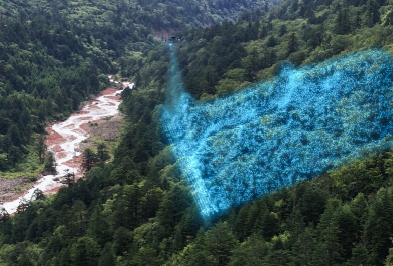
Fundamentals and Principles of Drone Aerial Imaging
- Part 1: Core concepts of aerial imaging.
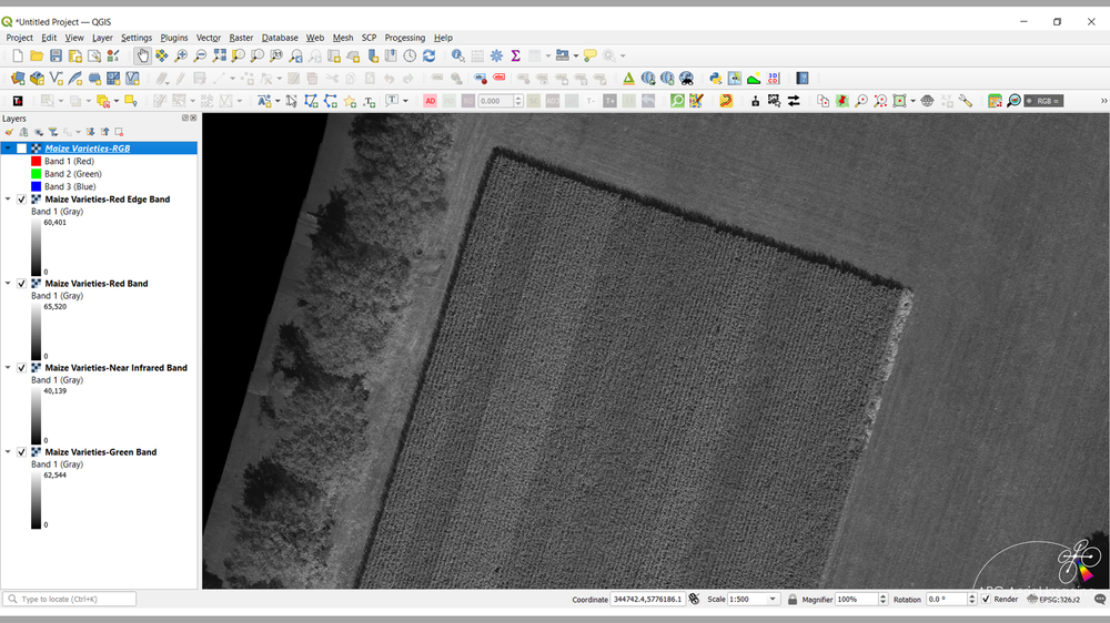
- Part 2: Advanced imaging techniques for professional applications
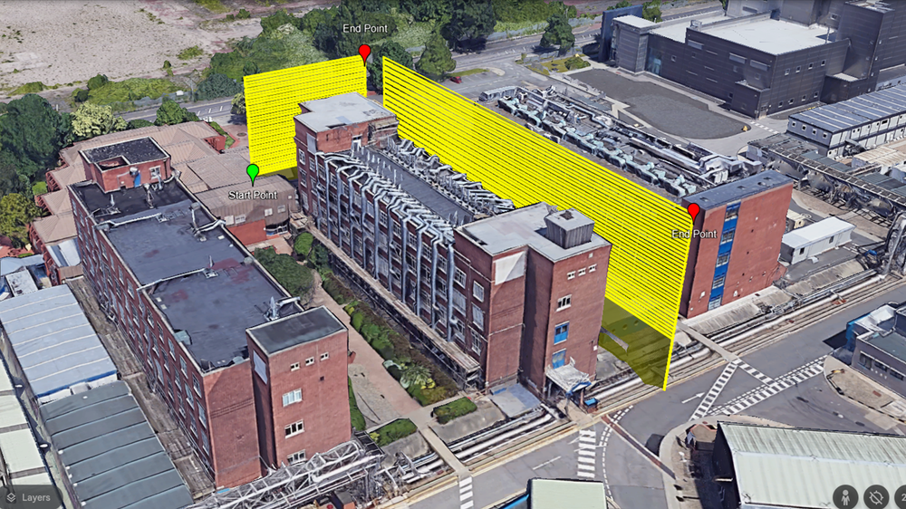
- Drone Flight and Sensor Planning: Develop flight and sensor strategies for optimal data quality.
- Drone Mapping Mission Planning: Master planning essentials for effective, high-yield mapping missions.
- Practical Exercises: Hands-on sessions in our dedicated flight area to apply theory in real-world conditions.
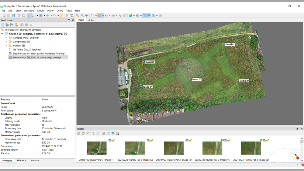
- Imagery Collection Checks and Data Management: Ensure high data integrity and effective organisation.
- Achieving ‘Survey-Compliant’ Geospatial Accuracy: Deliver geospatial data that meets professional standards.
Led by an industry expert with 30 years of experience, this masterclass offers premium instruction, facilities, and real-world practice, empowering drone pilots to provide the high-quality geospatial deliverables that clients demand. Join us to gain specialised skills and a competitive edge in the expanding drone mapping and surveying market.

