Get a quote
Get a Quote
Validate Email
Name
Email
Phone
Message
File upload
File name:
File size:
Location
Click on the map to draw a polygon
static-map-url
Clear Selection
Distance
m2
Account
Product
has been added to your basket.
About us
Services
Drones In
Drones in Agriculture
Drones In Confined, Restricted and Contaminated Space Inspections
Drones In Construction
Drones in Engineering
Drones In Environmental Monitoring
Drones In Insurance and Risk
Drones In Security
Drones in Telecomunications
Drones In Utilities and Infrastructure
Case Studies
Shop
Training
Our Training
Online A2 CofC Drone Training
GVC Drone Training (Combined A2/GVC)
A2 CofC Drone Training (Advanced)
Certification Renewal A2 CofC and GVC
Basic Mapping Course
Flight Training
Education
Drones in Education
STEM Days
Education Hub
Resources
Iprosurv Drone Club
Exploration Days
Iprosurv Pilot Network
Consultancy
Commercial Drone Finance Calculator
News and Blogs
Exploration Days
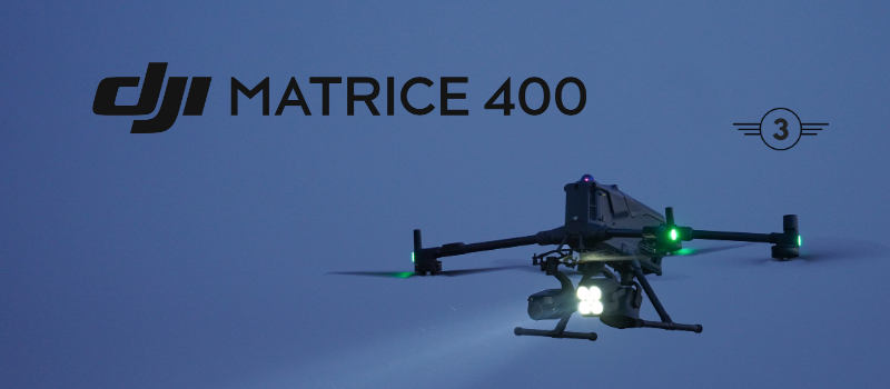
DJI Matrice 400 – Engineered for Excellence. Designed for Versatility
Matrice 4 Series-Power-Precision-Performance
Introduction to Drone Class Marking in the UK
Defence Secretary Recognises Innovation at South Yorkshire Drone Company Iprosurv
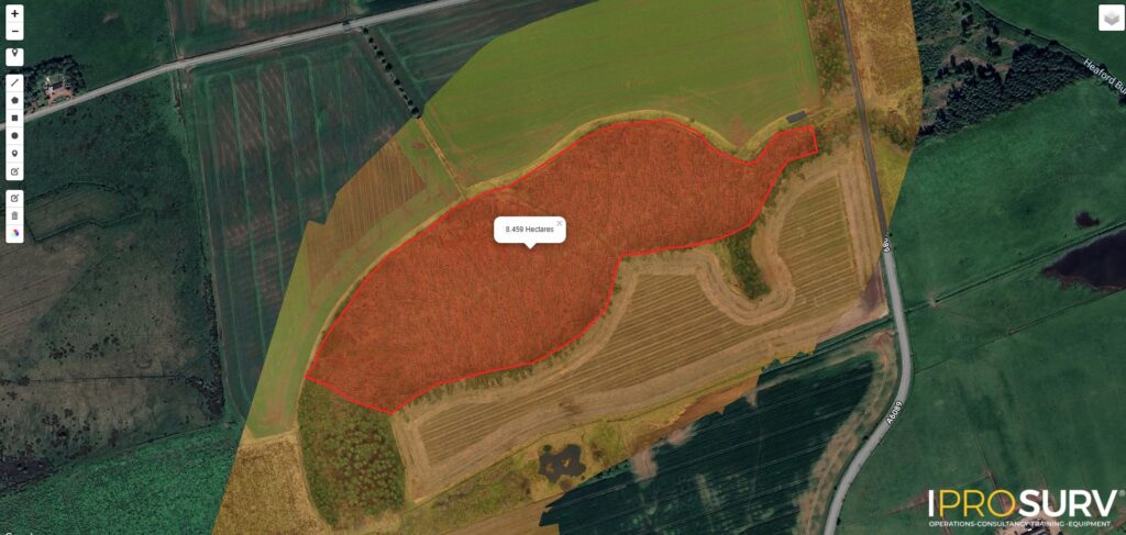
Expert Drone Surveys for Post-Storm Windblown Forestry
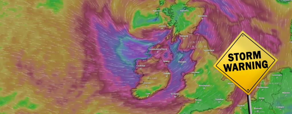
Addressing the Aftermath of Storm Eowyn
V.A.U.L.T. Systems: The Future of Autonomous Drone Operations
Iprosurv Recognised as a 2024 Great British Entrepreneur Awards Winner
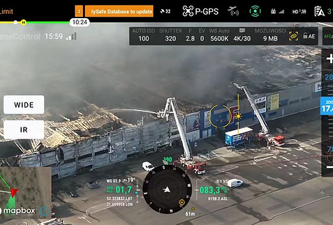
Iprosurv Partners with DroneControl FirstResponder to Revolutionise Live Streaming Data by Drone.
Introduction to Drone Dock-Hanger Solutions
Drone Pilots: Adapting to the Demands of a Growing Industry
2 Day Mapping,Surveying and Photogrammetry
1
2
3
Next
Menu
This website uses cookies to improve your experience. If you continue to use this site, you agree with it.
Ok