Advanced Surveying Package: Revolutionise Your Measurements with Precision
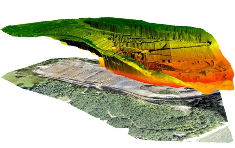
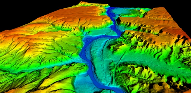
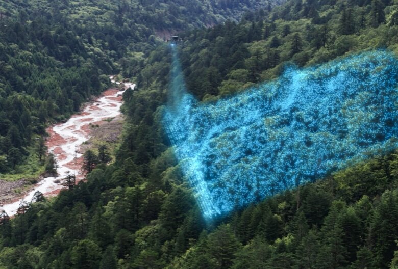
Unlock the full potential of photogrammetry with our Advanced Surveyor Package, meticulously designed for professionals in surveying, land management, construction, and planning. This comprehensive solution empowers you to capture highly accurate 2D and 3D models, transforming the way you gather and analyse spatial data.
State-of-the-Art Equipment:
Our package comes equipped with cutting-edge tools and technology, ensuring precision in every measurement.
Software Advice :
With the myriad of software’s available we will explore the most common software solutions for planning and processing the data collection and delivery.
Training and Support:
Benefit from expert-led training sessions tailored to enhance your team’s skill set, complemented by our ongoing technical support to assist you every step of the way.
Benefits
Enhanced Accuracy:
Minimize errors and maximize precision, ensuring that your projects are built on reliable data.
Time Efficiency:
Save valuable time with streamlined workflows and faster data processing, keeping your projects on schedule.
Competitive Edge:
Stay ahead in your field with advanced technology that elevates your capabilities and service offerings.
Perfect for professionals dedicated to precision, the Advanced Surveyor Package is your gateway to superior photogrammetry. Embrace the future of surveying and elevate your projects with accuracy and efficiency. Order now and transform your approach to spatial data collection and analysis!
Packages can be customised as required, contact us for more details.


