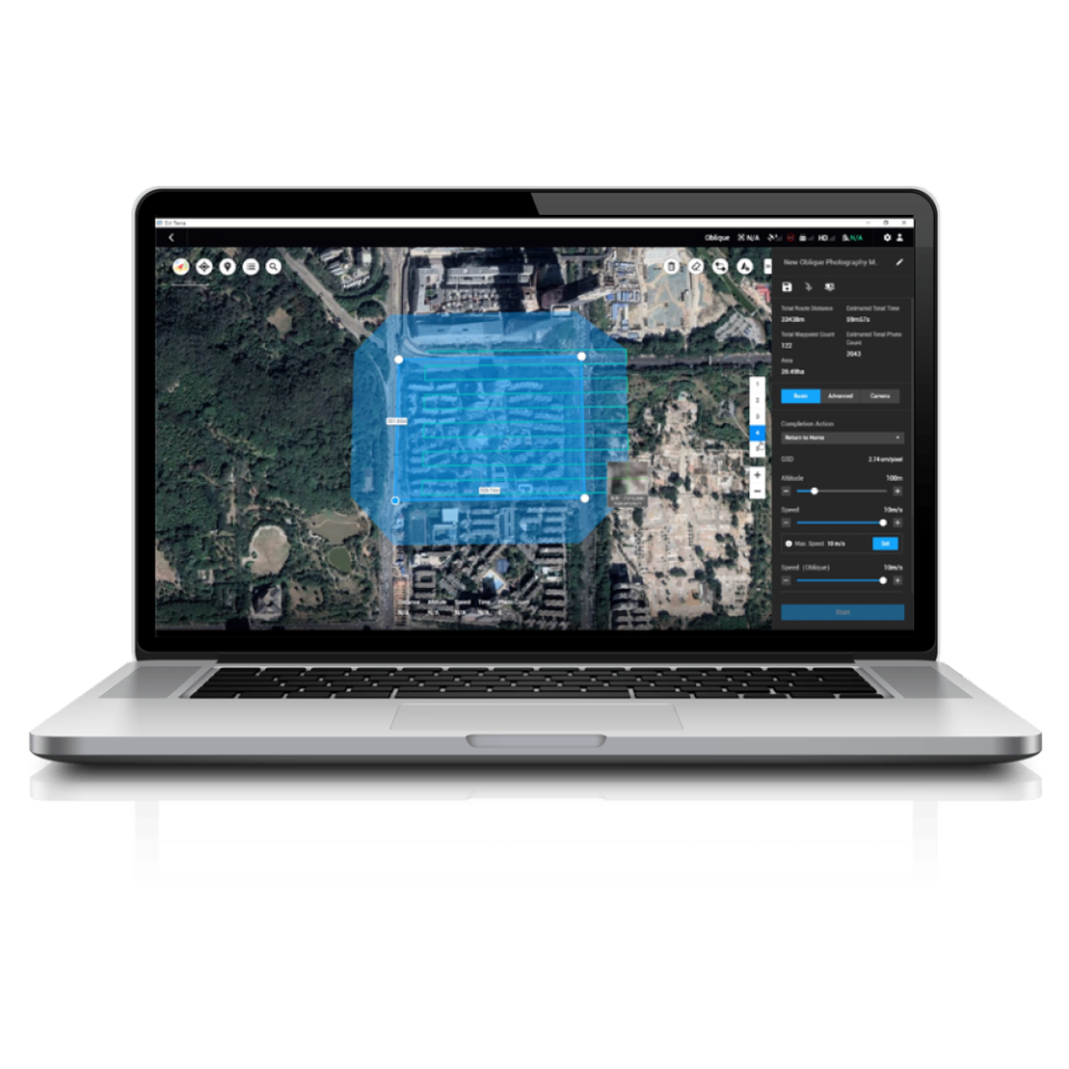
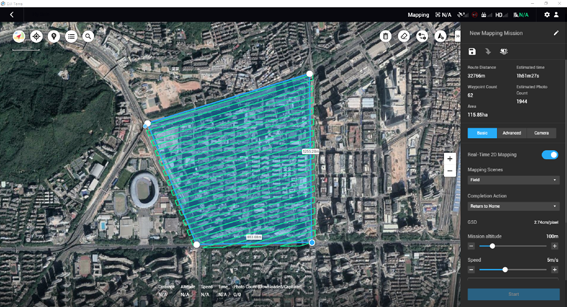
Download DJI Terra – it is an easy-to-use mapping software developed to help industry professionals transform real-world scenarios into digital assets.
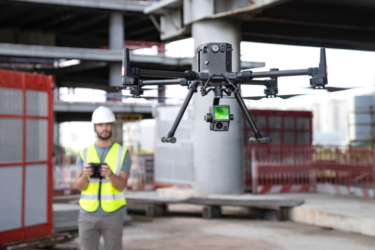
With seamless connection with DJI Phantom 4 RTK drones, DJI Terra is the platform which businesses can use to begin their next-generation of environmental mapping.
DJI Terra is an easy-to-use mapping software application used to turn image data collected by DJI Enterprise drones into highly accurate 3D digital reconstructions. It is the platform of choice for many surveying applications including building modelling, bridge inspections, site mapping and landscape monitoring and management.


